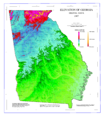
Map of Georgia Elevations
Digital elevation map of Georgia, U.S.
174 miles away
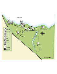
Fred Gannon Rocky Bayou State Park Map
Map of park with detail of trails and recreation zones
176 miles away
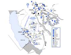
Little Ocmulgee State Park Map
Map of park with detail of trails and recreation zones
176 miles away
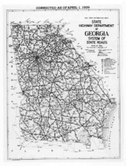
Georgia 1939 Road Map
State Road Map of Georgia in 1939
178 miles away
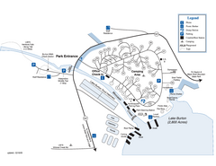
Moccasin Creek State Park Map
Map of park with detail of trails and recreation zones
179 miles away
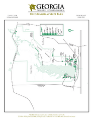
Reed Bingham State Park Map
Map of park with detail of trails and recreation zones
179 miles away
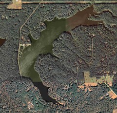
Lake Tallavana Map
Lake Tallavana aerial Map of the lake and surrounding areas.
180 miles away

Detailed Map of Hawkesdene House area
Detailed map of how to get to Hawkesdene House B&B Inn
180 miles away

Lake Tallavana Parcel Map
Lake Tallavana Parcel Map
180 miles away
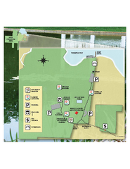
Eden Gardens State Park Map
Map of park with detail of gardens
181 miles away
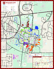
Mississippi State University Map
182 miles away
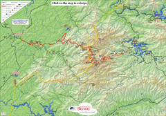
Cherohala Map
Map of Cherohala Skyway. Includes Visitor Information, roads, camping areas, and trails.
182 miles away
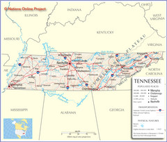
Tennessee Tourist Map
182 miles away
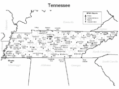
Tennessee Airports Map
182 miles away
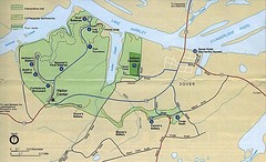
Civil War Era Tennessee State Battle Map
182 miles away
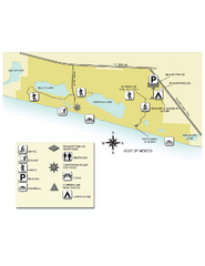
Topsail Hill Preserve State Park Map
Map of park with detail of recreation zones
183 miles away
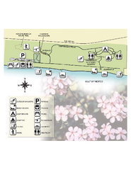
Henderson State Park Map
Map of park with detail of trails and recreation zones
184 miles away

Tishomingo State Park, Mississippi Map
This map unfortunately does not adequately represent this park which is in one of the few areas of...
184 miles away
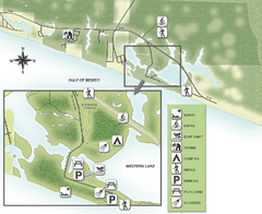
Grayton Beach State Park Map
Map of park with detail of trails and recreation zones
185 miles away
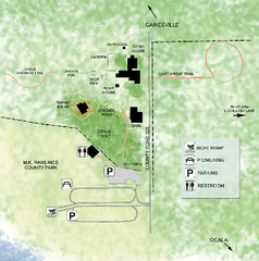
Marjorie Kinnan Rawlings Historic State Park Map
Map of park with detail of trails and recreation zones
185 miles away
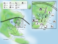
Camp Helen State Park Map
Map of park with detail of various recreation zones
187 miles away
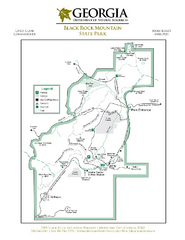
Black Rock Mountain State Park Map
Map of park with detail of trails and recreation zones
189 miles away
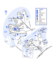
Hart State Park Map
Map of park with detail of trails and recreation zones
189 miles away
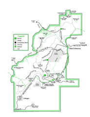
Black Rock State Park map
Detailed recreation map for Black Rock State Park in Georgia
190 miles away
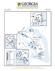
Richard B. Russell State Park Map
Map of park with detail of trails and recreation zones
191 miles away
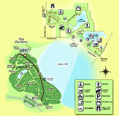
Alfred B. Maclay Gardens State Park Map
Map of park with detail of trails and recreation zones
191 miles away
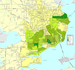
Pensacola, Florida City Map
194 miles away
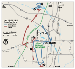
Tupelo National Battlefield Official Map
Official NPS map of Tupelo National Battlefield in Mississippi. Tupelo National Battlefield (NB...
194 miles away
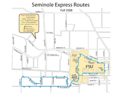
Seminole Express Bus Service Map
Bus route to Florida State University.
194 miles away
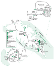
Bobby Brown State Park Map
Map of park with detail of trails and recreation zones
194 miles away
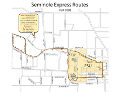
Florida State University Seminole Express Bus Map
194 miles away
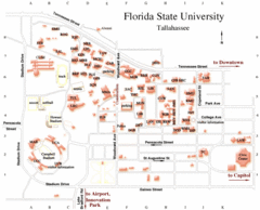
Florida State University Map
195 miles away
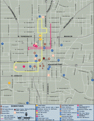
Downtown Tallahassee, Florida Map
Tourist map of downtown Tallahassee, Florida. Museums, government buildings and other points of...
195 miles away

Florida State University Map
Florida State University campus map. All buildings shown.
195 miles away
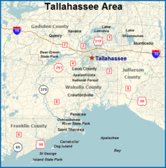
Tallahassee, Florida City Map
195 miles away
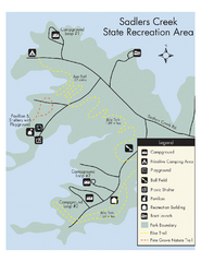
Sadlers Creek State Park Map
This simple map gives you an easy to follow layout of this amazing state park.
195 miles away
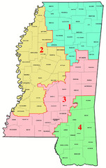
Mississippi Congressional Map
195 miles away
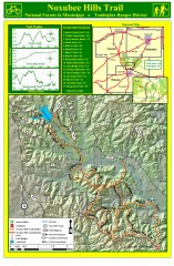
Noxubee Hills Trail Map
Shows singletrack and doubletrack trails in the Noxubee Hill trail system in Tombigbee National...
196 miles away
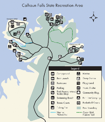
Calhoun Falls State Park Map
Clear map and detailed legend help make this map easy to read and follow.
196 miles away
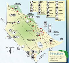
St. Andrews State Park Map
Overview map of St. Andrews State Park, #2 beach in America by TripAdvisor.com, 2008
197 miles away

