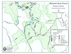
South Mohawk Mountain State Forest (Summer Trails...
Summer trails for South Mohawk State Forest in Connecticut.
58 miles away
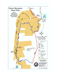
Talcott Mountain State Park map
Trail map of Talcott Mountain State Park in Connecticut.
59 miles away
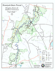
Trail map of Shenipsit State Forest
Trail map of Shenipsit State Forest in Connecticut.
60 miles away

Poets Walk Trail Map
Guide to Poet's Walk and Hudson River Overlook
60 miles away
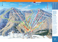
Windham Mountain Ski Trail Map
Trail map from Windham Mountain.
61 miles away
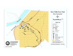
Kent Falls State Park trail map
Trail map of Kent Falls State Park in Connecticut.
61 miles away
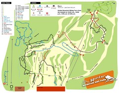
Hunter Mountain Bike Park Map
Map of bike trails in park
61 miles away
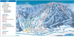
Hunter Mountain ski trail map
Official ski trail map of Hunter Mountain ski area from the 2006-2007 season.
62 miles away
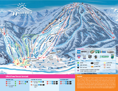
Hunter Mountain Ski Bowl Ski Trail Map
Trail map from Hunter Mountain Ski Bowl.
62 miles away
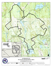
Hubbardston WMA Map
62 miles away

Topsmead State Forest map
Trail map for Topsmead State Forest in Connecticut.
62 miles away
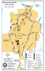
Macedonia Brook State Park trail map
Trail map of Macedonia Brook State Park in Connecticut.
62 miles away
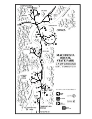
Macedonia Brook State Park campground map
Campground map for Macedonia Brook State Park in Connecticut.
62 miles away
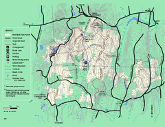
Brimfield State Forest trail map
Trail map of Brimfield State Forest in Massachusetts
62 miles away
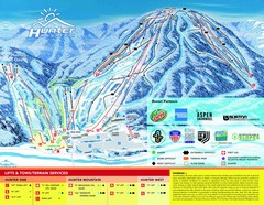
Hunter Mountain Trail Map
62 miles away
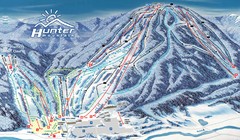
Hunter Mountain Trail Map
Ski trail map
63 miles away
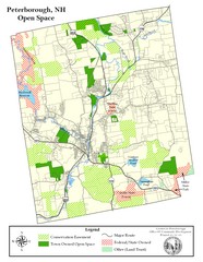
Peterborough Open Space Map
Map of open space lands in Peterborough, New Hampshire
64 miles away
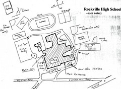
Rockville High School Map
Hand-drawn map of Rockville High School includes all buildings, Parking Lots, and sports fields.
64 miles away
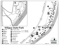
Wilgus State Park Campground Map
Campground map for Wilgus State Park in Vermont
65 miles away

Camp Morgan Trail Map
65 miles away
Mt. Watatic to Wachusett Mountain, Massachusetts...
65 miles away
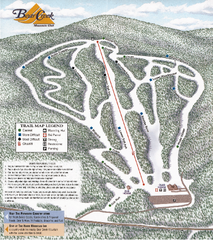
Bear Creek Mountain Club Ski Trail map
Official ski trail map of Bear Creek Mountain ski area.
65 miles away
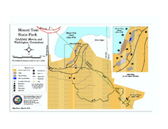
Mount Tom State Park trail map
Trail map of Mt. Tom State Park in Connecticut.
66 miles away

Wadsworth Athenium Museum Location Map
Wadsworth Athenium visitor location map with locations of major buildings, streets, parks, and...
66 miles away
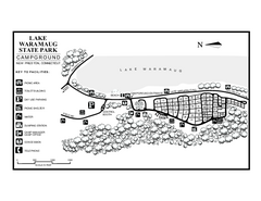
Lake Waramaug State Park campground map
Campground map of Lake Waramaug State Park.
66 miles away
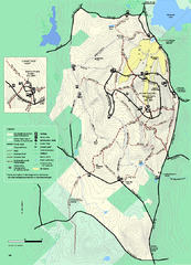
Wachusett Mountain State Reservation trail map
Trail map of Wachusett Mountain State Reservation in Massachusetts.
66 miles away
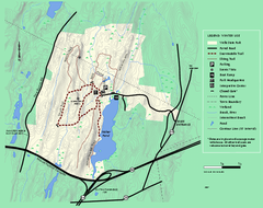
Wells State Park winter trail map
Winter use trail map of Wells State Park in Massachusetts.
66 miles away
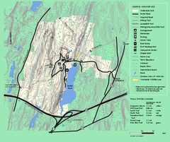
Wells State Park trail map
Trail map of Wells State Park in Massachusetts.
66 miles away
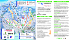
Wachusett Mountain Ski Trail Map
Trail map from Wachusett Mountain.
66 miles away
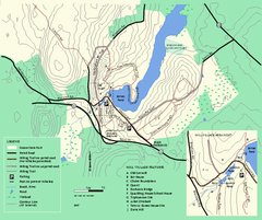
Moore State Park trail map
Trail map of Moore State Park in Massachusetts.
66 miles away
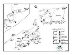
Coolidge State Park Campground Map
Campground map of Coolidge State Park in Vermont
66 miles away
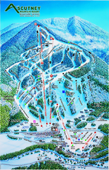
Ascutney Mountain Ski Trail Map 2006-07
Official ski trail map of Ascutney ski area from the 2006-2007 season.
67 miles away
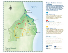
Esopus Meadows Preserve Trail Map
Trail map of Esopus Meadows Preserve park on the Hudson River.
67 miles away
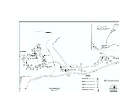
Ascutney State Park map
Campground map of Ascutney State Park in Vermont
67 miles away
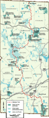
Midstate Trail Map
Map of the Midstate Trail, which runs from Ashburnham to the Rhode Island border. Shows state...
67 miles away
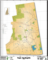
Temple NH Topo Map
Topographical map of Temple, NH area. Shows all roads and points of interest.
68 miles away
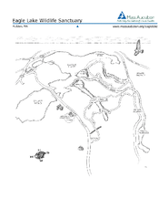
Eagle Lake Conservation Area Map
68 miles away
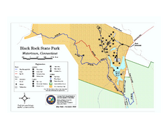
Black Rock State Park trail map
Trail map of Black Rock State Park in Connecticut.
68 miles away
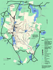
Leominster State Forest trail map
Trail map of Leominster State Forest in Massachusetts
68 miles away
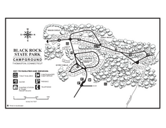
Black Rock Campground map
Map of the Campgrounds in Black Rock State Park.
68 miles away

