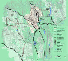
Mt. Grace State Forest trail map
Trail map of Mt. Grace State Forest near Warwick, Massachusetts.
42 miles away
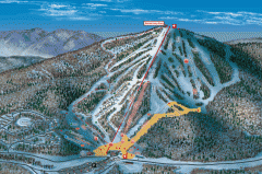
Bromley Mountain Ski Area map 2006-07
Simple ski trail map of Bromley Mountain Ski Area for the 2006-2007 season.
42 miles away
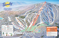
Bromley Mountain Ski Trail Map
Trail map from Bromley Mountain.
42 miles away
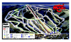
Magic Mountain Ski Trail map
Official ski trail map of Magic Mountain ski area from the 2006-2007 season.
44 miles away
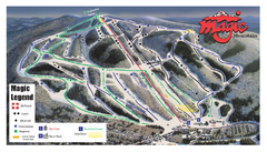
Magic Mountain Ski Trail Map
Trail map from Magic Mountain.
44 miles away
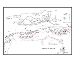
Emerald Lake State Park Campground Map
Campground map of Emerald Lake State Park in Vermont
45 miles away
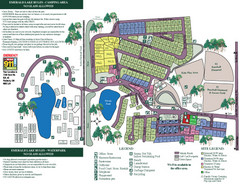
Emerald Lake State Park Map
45 miles away
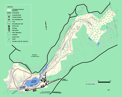
Chicopee State Park trail map
Chicopee State Park trail map
45 miles away
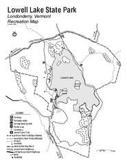
Lowell Lake State Park map
Campground map for Lowell Lake State Park in Vermont
45 miles away
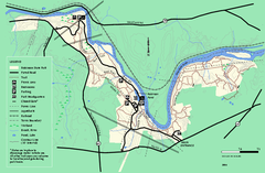
Robinson State Park trail map
Trail map of Robinson State Park in Massachusetts.
46 miles away
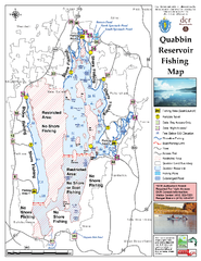
Quabbin Reservoir Fishing Map
Fishing access map of Quabbin Reservoir. Shows all ponds and submerged ponds.
47 miles away
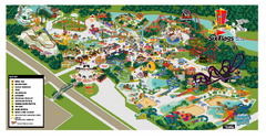
Six Flags New England Theme Park Map
Official Park Map of Six Flags New England in Massachusetts.
47 miles away
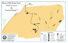
Dennis Hill State Park map
Trail map of Dennis Hill State Park in Connecticut.
48 miles away
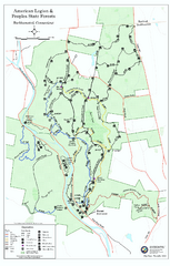
American Legion State Forest trail map
Trail map of American Legion and Peoples State Forests in Connecticut.
48 miles away
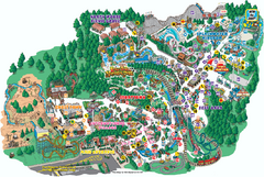
Six Flags Great Escape Theme Park Map
Official Park map of Six Flags Great Escape Theme Park in Lake George, NY.
51 miles away
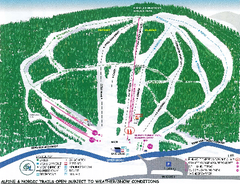
Granite Gorge Ski Trail Map
Trail map from Granite Gorge. This ski area opened in 2005.
52 miles away
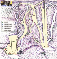
West Mountain Ski Area Ski Trail Map
Trail map from West Mountain Ski Area.
53 miles away
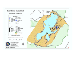
Burr Pond State Park map
Map of Burr Pond State Park in Connecticut.
53 miles away
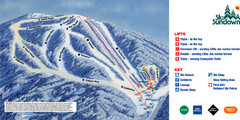
Ski Sundown Ski Trail Map
Trail map from Ski Sundown, which provides downhill and night skiing. It has 5 lifts servicing 15...
53 miles away
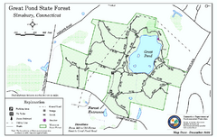
Great Pond State Park trail map
Trail map of Great Pond State Forest in Connecticut.
54 miles away
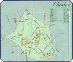
Chester Town Map
54 miles away

Palmer Motorsports Park Map
Track Map for Proposed Palmer Motorsports Park
55 miles away
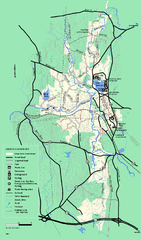
Otter River State Forest summer trail map
Summer trail map of the Otter River State Forest area in Massachusetts.
55 miles away
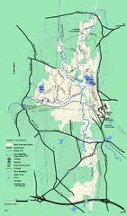
Otter River State Forest winter trail map
Winter usage trail map for Otter River State Park in Massachusetts.
55 miles away
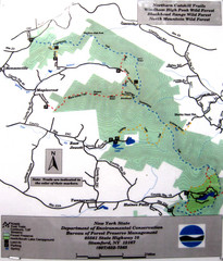
Northern Catskill Trail Map
Trail map shows hiking trails in the northern Catskills of New York. Shows trails in Windham High...
55 miles away
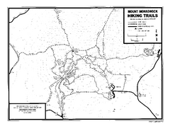
Mount Monadnock State Park Map
Official hiking map of the park. With its thousands of acres of protected highlands, 3,165-ft...
56 miles away
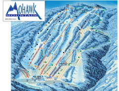
Mohawk Mountain Ski Trail Map
Ski trail map of Mohawk Mountain ski area
56 miles away
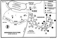
Monadnock State Park map
Campground map of Monadnock State Park in New Hampshire
56 miles away
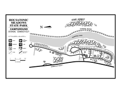
Housatonic Meadows State Park campground map
Campground map for Housatonic Meadows State Park in Connecticut.
56 miles away
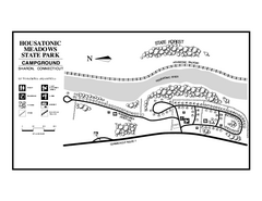
Housatonic State Forest campground map
Campground map of Housatonic State Forest in Connecticut.
56 miles away
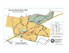
Stratton Brook State Park map
Trail map of Stratton Brook State Park in Connecticut.
56 miles away

North Mohawk Mountain State Forest (Summer Trails...
Summer trail map of the North section of Mohawk Mountain State Forest in Connecticut.
56 miles away

North Mohawk Mountain State Forest (Winter Trails...
Winter trail map for North Mohawk Mountain State Forest in Connecticut.
56 miles away
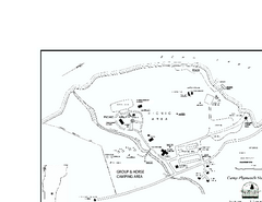
Camp Plymouth State Park map
Map of Camp Plymouth Park in Vermont.
57 miles away
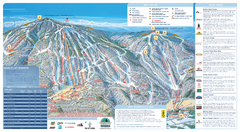
Okemo Ski Trail Map
Ski trail map of Okemo ski area. A James Niehues creation.
58 miles away
Okemo Mountain Resort Ski Trail Map
Trail map from Okemo Mountain Resort.
58 miles away
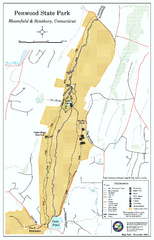
Penwood State Park map
Trail map of Penwood State Park in Connecticut.
58 miles away
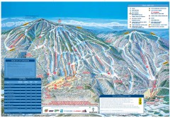
Okemo Mountain Resort ski trail map 2006-07
Official ski trail map of Okemo ski area for the 2006-2007 season. Slopes & Trails 624 acres...
58 miles away

South Mohawk Mountain State Forest (Winter Trails...
Winter trial map for the Southern Section of Mohawk Mountain State Forest in Connecticut.
58 miles away
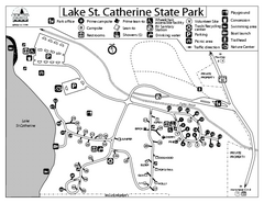
Lake St. Catherine State Park Campground Map
Campground map of St. Catherine State Park in Vermont
58 miles away

