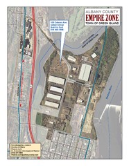
Green Island Map
Aerial town map of Green Island, New York on the Hudson River
42 miles away
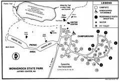
Monadnock State Park map
Campground map of Monadnock State Park in New Hampshire
42 miles away
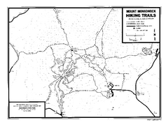
Mount Monadnock State Park Map
Official hiking map of the park. With its thousands of acres of protected highlands, 3,165-ft...
42 miles away

Palmer Motorsports Park Map
Track Map for Proposed Palmer Motorsports Park
43 miles away
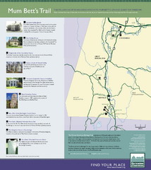
Mum Bett's Trail Map
Historic African American trail guide
44 miles away
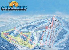
Catamount Ski Trail Map
Official ski trail map of Catamount ski area from the 2006-2007 season.
44 miles away
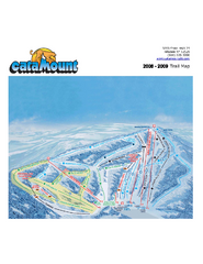
Catamount Ski Area Ski Trail Map
Trail map from Catamount Ski Area.
44 miles away
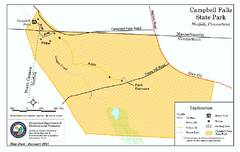
Cambell Falls State Park map
Trail map of Campbell Falls State Park Reserve in Connecticut
44 miles away
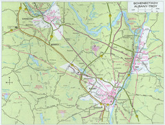
Albany, New York City Map
45 miles away
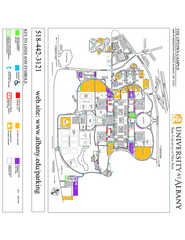
University at Albany Map
Campus Map of the University at Albany. All buildings shown.
45 miles away
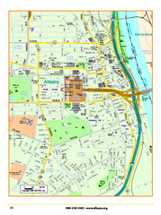
Albany downtown map
Road map of downtown Albany, NY. Shows city parks and New York State government buildings.
45 miles away
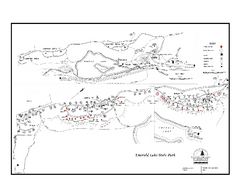
Emerald Lake State Park Campground Map
Campground map of Emerald Lake State Park in Vermont
45 miles away
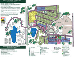
Emerald Lake State Park Map
45 miles away
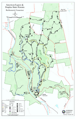
American Legion State Forest trail map
Trail map of American Legion and Peoples State Forests in Connecticut.
47 miles away
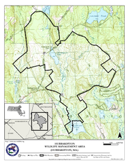
Hubbardston WMA Map
48 miles away
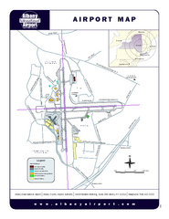
Albany International Airport Map
Official Map of the Albany International Airport in New York. Shows all terminals.
48 miles away
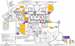
New York State University Uptown Campus Map
Map of the NYS University Campus, including all buildings, streets, and Visitors Parking...
48 miles away
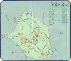
Chester Town Map
49 miles away
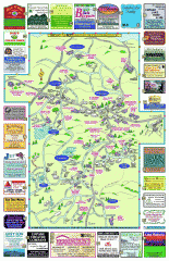
Columbia County - Boston Corners, Copake, Copake...
Tourist map of Columbia County, Mass. Includes towns of Boston Corners, Copake, Copake Falls...
49 miles away
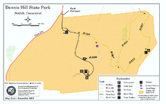
Dennis Hill State Park map
Trail map of Dennis Hill State Park in Connecticut.
50 miles away
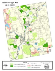
Peterborough Open Space Map
Map of open space lands in Peterborough, New Hampshire
50 miles away
Mt. Watatic to Wachusett Mountain, Massachusetts...
50 miles away
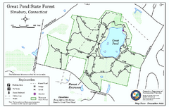
Great Pond State Park trail map
Trail map of Great Pond State Forest in Connecticut.
51 miles away
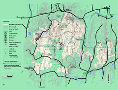
Brimfield State Forest trail map
Trail map of Brimfield State Forest in Massachusetts
51 miles away
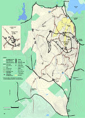
Wachusett Mountain State Reservation trail map
Trail map of Wachusett Mountain State Reservation in Massachusetts.
51 miles away
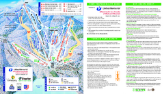
Wachusett Mountain Ski Trail Map
Trail map from Wachusett Mountain.
51 miles away
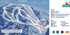
Ski Sundown Ski Trail Map
Trail map from Ski Sundown, which provides downhill and night skiing. It has 5 lifts servicing 15...
52 miles away
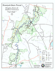
Trail map of Shenipsit State Forest
Trail map of Shenipsit State Forest in Connecticut.
52 miles away
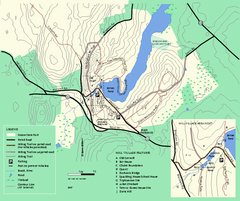
Moore State Park trail map
Trail map of Moore State Park in Massachusetts.
52 miles away
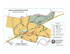
Stratton Brook State Park map
Trail map of Stratton Brook State Park in Connecticut.
53 miles away
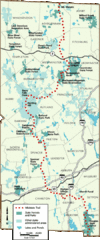
Midstate Trail Map
Map of the Midstate Trail, which runs from Ashburnham to the Rhode Island border. Shows state...
53 miles away
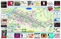
Hudson Tourist Map
Tourist map of Hudson, New York showing all tourist points of interest. Ads around border.
53 miles away
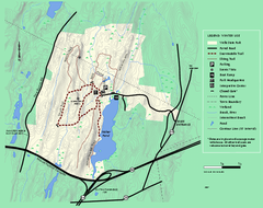
Wells State Park winter trail map
Winter use trail map of Wells State Park in Massachusetts.
53 miles away
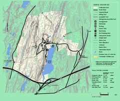
Wells State Park trail map
Trail map of Wells State Park in Massachusetts.
53 miles away
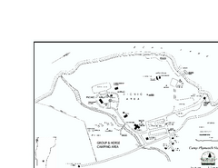
Camp Plymouth State Park map
Map of Camp Plymouth Park in Vermont.
54 miles away
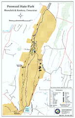
Penwood State Park map
Trail map of Penwood State Park in Connecticut.
54 miles away
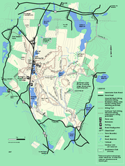
Leominster State Forest trail map
Trail map of Leominster State Forest in Massachusetts
54 miles away
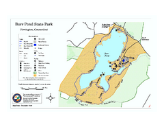
Burr Pond State Park map
Map of Burr Pond State Park in Connecticut.
54 miles away
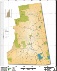
Temple NH Topo Map
Topographical map of Temple, NH area. Shows all roads and points of interest.
54 miles away

