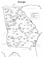
Georgia Tourist Map
234 miles away
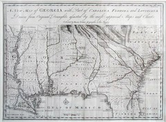
Georgia Map
Map of Georgia circa 1748. Includes Georgia and parts of the Carolinas, Florida and Louisiana.
234 miles away
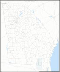
Georgia Zip Code Map
Check out this Zip code map and every other state and county zip code map zipcodeguy.com.
234 miles away
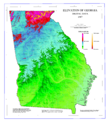
Map of Georgia Elevations
Digital elevation map of Georgia, U.S.
234 miles away
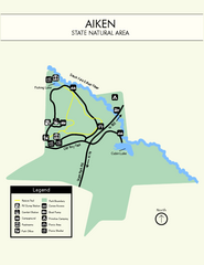
Aiken State Park Map
Small and simple state park map.
235 miles away
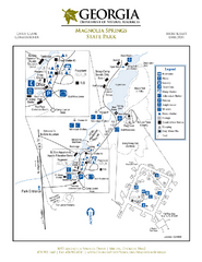
Magnolia Springs State Park Map
Map of park with detail of trails and recreation zones
236 miles away
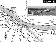
Ohio River & Tennessee River at Paducah, KY...
This is a page from the Ohio River Guidebook. The map shows important information for boaters and...
236 miles away
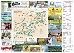
Ashe County Attractions Map
Ashe County Attractions
237 miles away
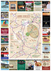
Ashe County Restaurant Map
Ashe County Restaurant Map
237 miles away
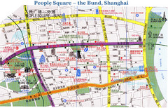
Bund Shanghai Tourist Map
238 miles away
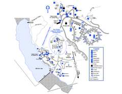
Little Ocmulgee State Park Map
Map of park with detail of trails and recreation zones
238 miles away
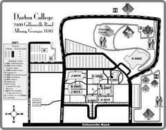
Darton College Campus Map
238 miles away
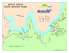
Jenny Wiley State Resort Park Map
Map of trails and facilities of Jenny Wiley State Resort Park.
238 miles away
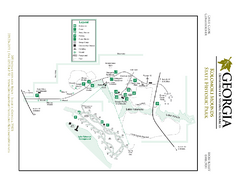
Kolomoki Mounds State Park Map
Map of park with detail of trails and recreation zones
239 miles away
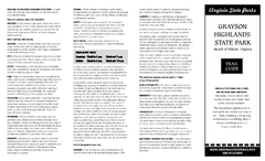
Grayson Highlands State Park Map
Clear and descriptive map of this beautiful state park.
242 miles away
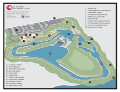
US National Whitewater Center Map
Facility map of the US National Whitewater Center in Charlotte, North Carolina
242 miles away
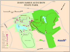
John James Audubon State Park Map
Map of trails, facilities and historical sites in John James Audubon State Park.
242 miles away
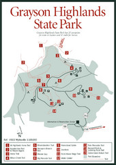
Grayson Highlands State Park Map
243 miles away
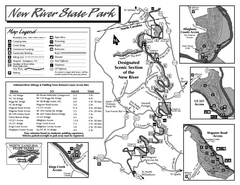
New River State Park map
Detailed recreation map for the New River State Park in North Carolina
243 miles away
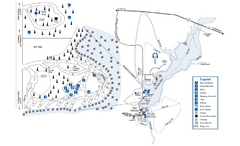
George L. Smith State Park Map
Map of park with detail of trails and recreation zones
243 miles away
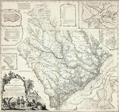
James Cook's South Carolina Map
English cartographer and explorer James Cook's 1773 map of English colony of South Carolina...
243 miles away
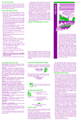
Charlestown State Park Map
245 miles away

South Carolina Counties Map
245 miles away
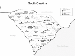
South Carolina Airports Map
245 miles away
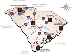
South Carolinas Airports Map
245 miles away
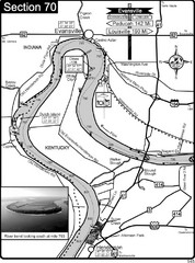
Ohio River at Evansville, IN and Henderson, KY Map
This is a page from the Ohio River Guidebook. The map shows important information for boaters and...
246 miles away
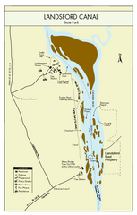
Landsford Canal State Park Map
Clear map with detailed legend marking this beautiful state park.
249 miles away
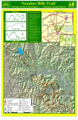
Noxubee Hills Trail Map
Shows singletrack and doubletrack trails in the Noxubee Hill trail system in Tombigbee National...
249 miles away
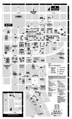
University of South Carolina - Columbia Map
Campus map of The University of South Carolina at Columbia. All area's shown.
249 miles away
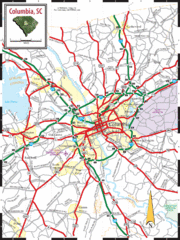
Columbia, South Carolina City Map
249 miles away
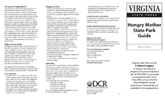
Hungry Mother State Park Map
Detailed map of this small state park.
249 miles away
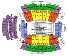
Williams Brice seating map
250 miles away

Charlotte, North Carolina City Map
250 miles away
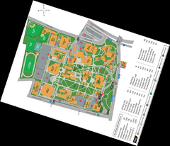
Queen's College Map
251 miles away
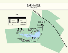
Barnwell State Park Map
Simple map of this state park.
251 miles away
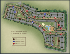
woodlands of Columbia map
252 miles away
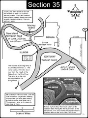
Mount Vernon, IN Wabash River & Ohio River Map
This is a page from the Wabash River Guidebook. The map shows important information for boaters and...
252 miles away
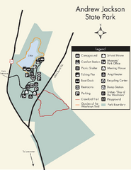
Andrew Jackson State Park Map
Clear and legible park map and legend.
252 miles away
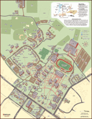
Davidson College Campus Map
Clear map of Davidson College.
253 miles away
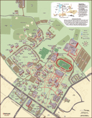
Davidson College Campus Map
Detailed map of Davidson College's campus.
253 miles away

