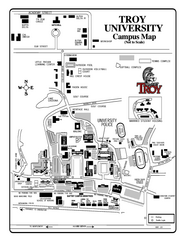
Troy University Map
Campus map of Troy University Troy campus. All areas shown.
219 miles away
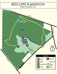
Redcliffe Plantation State Park Map
Clear map of this wonderful state park with a beautiful natural setting.
220 miles away
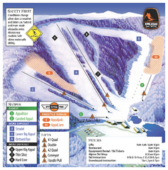
Appalachian Ski Mtn. Ski Trail Map
Trail map from Appalachian Ski Mtn..
220 miles away
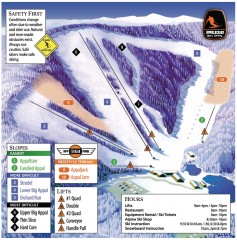
Appalachian Ski Trail Map
Official ski trail map of Appalachian ski area
220 miles away
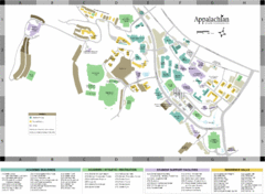
Appalachian State University Campus Map
Campus map of Appalachian State University in Boone, NC
220 miles away
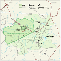
Kings Mountain National Military Park Official Map
Official NPS map of Kings Mountain National Military Park in South Carolina. Open Daily 9:00 a.m...
220 miles away

Watauga County Attractions Map
Watauga County Tourist Attractions
221 miles away

Watauga County Restaurants Map
Watuaga County Restaurant Guide
221 miles away
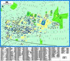
University of Kentucky Map
Campus Map of the University of Kentucky. All areas shown.
221 miles away
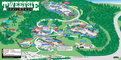
Tweetsie Railroad Park Map
Tweetsie Railroad is a unique attraction that allows children and families to explore their...
221 miles away
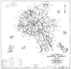
Fayette County General Highway Map
Transportation Map of Fayette County, KY
221 miles away
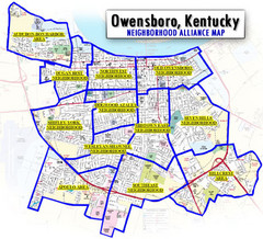
Owensboro, Kentucky City Map
222 miles away
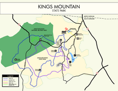
Kings Mountain State Park Map
Clearly marked state park map.
222 miles away
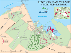
Kentucky Dam Village State Resort Park Map
Map of golf course and facilities for Kentucky Dam Village State Resort Park, one of three state...
223 miles away
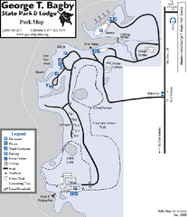
George T. Bagby State Park Map
Map of park with detail of trails and recreation zones
223 miles away
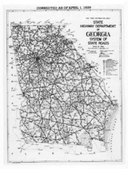
Georgia 1939 Road Map
State Road Map of Georgia in 1939
224 miles away
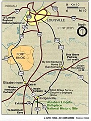
Louisville National Parks Map
National parks around Louisville.
225 miles away
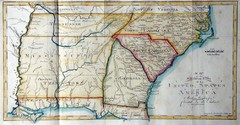
Southern Parts of the US Map
"This map was initially published in Morse's American Gazetteer in 1797 with Georgia...
225 miles away
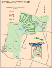
Ben Hawes State Park Map
Map of trails, facilities and golf course in Ben Hawes State Park.
226 miles away
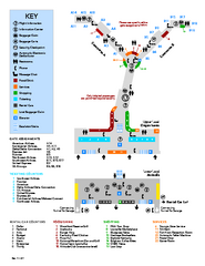
Louisville International Airport Terminal Map
Official Map of the Louisville International Airport. Shows all terminals and facilities.
227 miles away
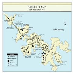
Dreher Island State Park Map
Clearly labeled state park map.
227 miles away
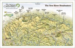
New River Headwaters Panorama Map
This panoramic map of the New River Headwaters area in North Carolina highlights TNC conservation...
227 miles away
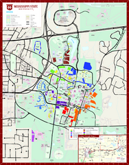
Mississippi State University Map
228 miles away
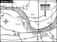
Ohio River at Owensboro, Kentucky Map
This is a page from the Ohio River Guidebook. The map shows important information for boaters and...
228 miles away
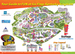
Six Flags Kentucky Kingdom Theme Park Map
Official Park Map of Six Flags Kentucky Kingdom in Kentucky.
229 miles away
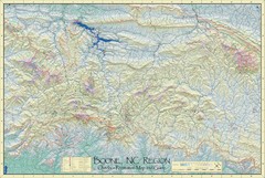
Boone, NC Outdoor Recreation Map
Guide to Boone, NC region
229 miles away
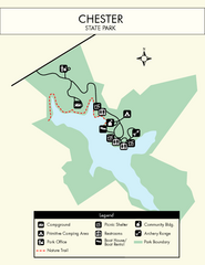
Chester State Park Map
Simple and clear state park map.
229 miles away
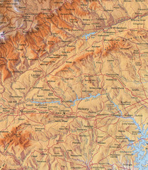
North Carolina Mountains Map
Location of the South, Brushy, and Blue Ridge Mountain ranges in Western North Carolina.
229 miles away
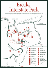
Breaks Interstate Park Map
Clear park map and legend.
232 miles away
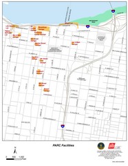
Louisville, Kentucky Tourist Map
233 miles away
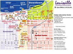
Louisville, Kentucky Tourist Map
233 miles away
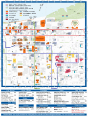
Louisville, Kentucky Tourist Map
233 miles away
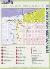
Downtown Louisville Restaurant Map
233 miles away
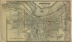
Antique map of Louisville from 1873
Map of Louisville, Kentucky from Appletons' Hand-Book of American Travel, Southern Tour...
233 miles away
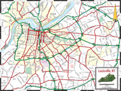
Louisville, Kentucky City Map
233 miles away
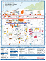
Downtown Louisville Map
Detailed map of gas stations, car rentals, and basic information of Louisville.
233 miles away
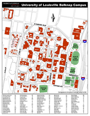
University of Louisville Map
University of Louisville Campus Map. All buildings shown.
233 miles away
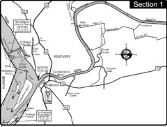
Smithland, KY Cumberland & Ohio Rivers Map
This is the mouth (end) of the Cumberland River as it pours into the Ohio River after flowing 695...
234 miles away
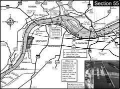
Ohio River at Louisville, KY & Southern...
This is from the Ohio River Guidebook
234 miles away
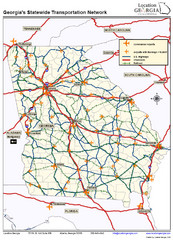
Georgia Transportation Map
234 miles away

