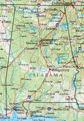
Alabama Reference Map
203 miles away
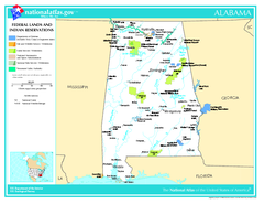
Alabama Federal Lands and Indian Reservations Map
203 miles away
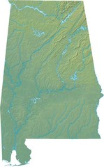
Alabama Relief Map
203 miles away
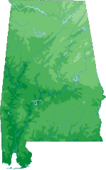
Alabama Topography Map
203 miles away
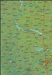
Alabama Area Map
203 miles away
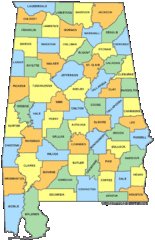
Alabama Counties Map
203 miles away
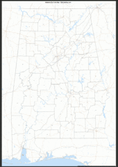
Alabama Zip Code Map
Check out this Zip code map and every other state and county zip code map zipcodeguy.com.
203 miles away
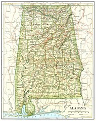
1891 Alabama Map
High quality 1891 Alabama map marking many cities and towns.
203 miles away
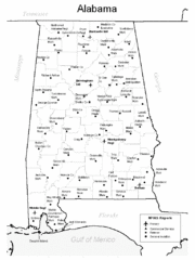
Alabama Aiports Map
203 miles away
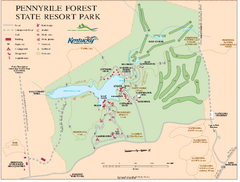
Pennyrile State Resort Park map
Recreation map for Pennyrile Forest State Park in Kentucky
204 miles away
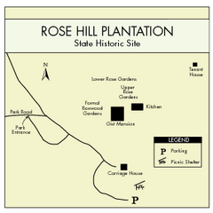
Rose Hill Plantation Map
Clear and simple state park map.
205 miles away
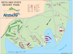
KenLake State Resort Park Map
Map of trails, facilities, and golf course for the KenLake State Resort Park located on the mid...
207 miles away
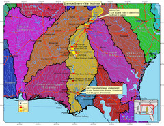
Drainage Basins of the Southeast United States Map
Lakes, rivers and dams in the Apalachicola, Chattahoochee and Flint River System.
208 miles away
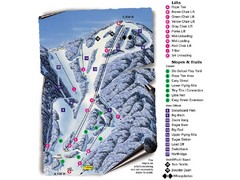
Sugar Mountain Resort Ski Trail Map
Trail map from Sugar Mountain Resort.
208 miles away
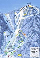
Sugar Mountain Ski Trail Map
Official ski trail map of Sugar Mountain ski area
209 miles away
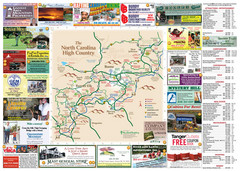
Avery County Attractions Map
Avery County Attractions Map
209 miles away

Avery County Restaurants Map
Avery County Tourist Map
209 miles away
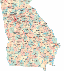
Georgia Road Map
Detailed, colorful road map of the state of Georgia.
209 miles away
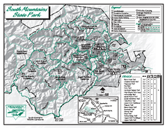
South Mountains State Park map
Detailed recrational map for South Mountain State Park in North Carolina
209 miles away
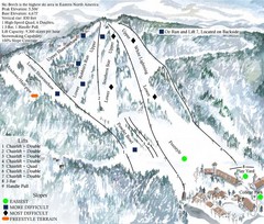
Beech Mountain Ski Resort Ski Trail Map
Trail map from Beech Mountain Ski Resort.
209 miles away
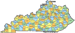
Kentucky Counties Map
209 miles away
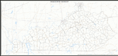
Kentucky Zip Code Map
Check out this Zip code map and every other state and county zip code map zipcodeguy.com.
209 miles away
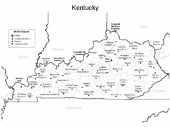
Kentucky Airports Map
209 miles away
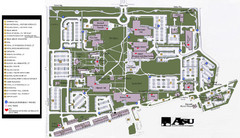
Augusta State University Map
Campus map
210 miles away
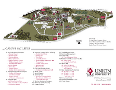
Union University Jackson Campus Map
Campus map of Union University in Jackson, Tennessee
210 miles away
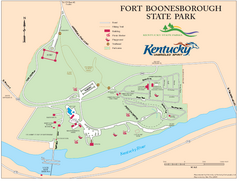
Fort Boonesborough State Park Map
Map of trails, historical sites and facilities at Fort Boonesborough State Park.
210 miles away
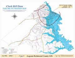
Richmond County Failure Inundation Map
Map of the flood water failure inundation of Augusta Richmond county, Georgia. Includes detailed...
211 miles away
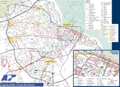
Augusta Public Transit Routes Map
Transit Route Map of the town of Augusta. Includes all streets, some important buildings, and a...
212 miles away

MCG Health System--Medical College of Georgia...
Color-coded map of all buildings on the Medical College of Georgia associated with the MCG Health...
212 miles away
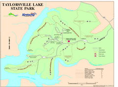
Taylorsville Lake State Park Map
Map of trails and facilities in Taylorsville Lake State Park.
213 miles away
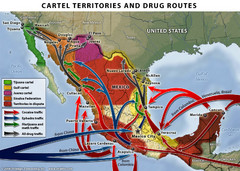
Mexican Drug Cartel Territories and Routes Map
213 miles away
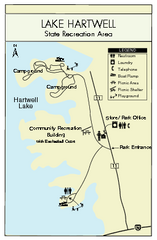
Lake Hartwell State Park Map
Clear state park map.
214 miles away
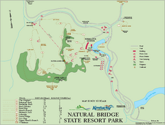
Natural Bridge State Resort Park map
Recreation map for Natural Bridge State Park in Kentucky
216 miles away
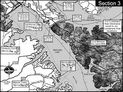
Kentucky Lake Tennesssee River-Land Between the...
This is the upper end of Kentucky Lake which is the Tennessee River. The map is designed for...
217 miles away
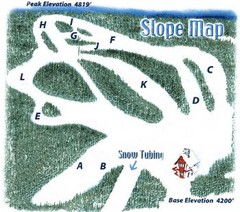
Hawksnest Golf & Ski Resort Ski Trail Map
Trail map from Hawksnest Golf & Ski Resort.
218 miles away

Tweetsie Tourist Map
218 miles away
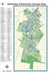
University of Kentucky Campus Map
Campus Map of University of Texas includes detailed numbered building list, all streets and sports...
219 miles away
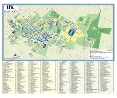
University of Kentucky Campus Map
2008 UK Visitor Map
219 miles away
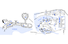
Georgia Veterans State Park Map
Map of park with detail of trails and recreation zones
219 miles away
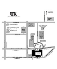
University of Kentucky Campus Map
Map of a part of University of Kentucky. Includes the specific location of the parking garage next...
219 miles away

