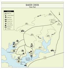
Baker Creek State Park Map
Beautiful park with wonderful views and plenty of wild life.
180 miles away
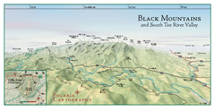
Black Mountains Panorama Map
This map portrays a sweeping vista of the Black Mountains and South Toe River Valley - extending...
181 miles away
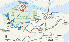
Fort Donelson National Battlefield Official Map
Official NPS map of Fort Donelson National Battlefield in Tennessee. Fort Donelson visitor center...
182 miles away
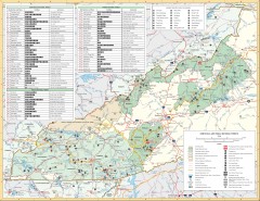
Pisgah National Forest and Nantahala National...
Pisgah National Forest and Nantahala National Forest recreation map. Contains list of all...
184 miles away
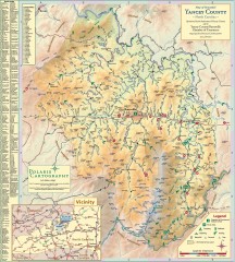
Yancey County Chamber of Commerce Map
Map of Yancey County, North Carolina. Shows all public roads, communities, hiking trails and picnic...
184 miles away
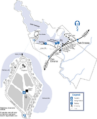
Hamburg State Park Map
Map of park with detail of trails and recreation zones
185 miles away
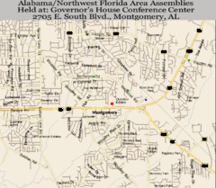
Montgomery, Alabama City Map
186 miles away
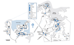
Mistletoe State Park Map
Map of park with detail of trails and recreation zones
187 miles away
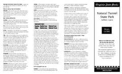
Natural Tunnel State Park Map
Detailed and informative state park map and legend.
190 miles away
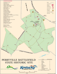
Perryville Battlefield State Historic Site Map
Map of trails and interpretive markers for the historical site of Perryville Battlefield.
191 miles away
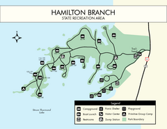
Hamilton Branch State Park Map
Simple state park map.
191 miles away
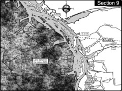
Lake Barkley-Cumberland River Map
Portion of Lake Barkley formed on the Cumberland River. In this section the state line is shown...
192 miles away
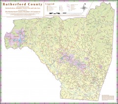
Tourist map of Rutherford County
Map of Rutherford County with detail panels for Rutherfordton, Spindale, Forest City, and Lake Lure.
192 miles away
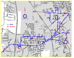
Berea Bus Route Map
192 miles away
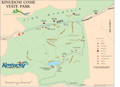
Kingdom Come State Park Map
Trail map for Kingdom Come State Park.
192 miles away
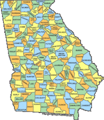
Georgia Counties Map
193 miles away
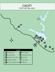
Croft State Park Map
Simple state park map.
193 miles away
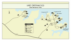
Lake Greenwood State Park Map
Clearly marked state park map on a beautiful waterfront.
194 miles away
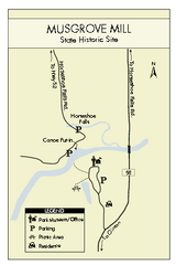
Musgrove Mill State Park Map
Clearly marked state park map.
195 miles away

Central Kentucky Trail Map
195 miles away
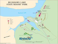
Buckhorn Lake State Resort Park Map
Map of Trails and Facilities of Buckhorn Lake State Resort Park.
195 miles away
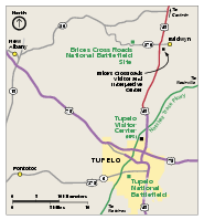
Brices Cross Roads National Battlefield Site...
Official NPS map of Brices Cross Roads National Battlefield Site in Mississippi. The grounds of the...
196 miles away
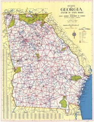
Georgia Road Map
Road map of state of Georgia, 1952
196 miles away
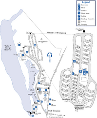
Florence Marina State Park Map
Map of park with detail of trails and recreation zones
196 miles away
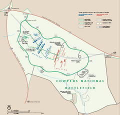
Cowpens National Battlefield Official Map
Official NPS map of Cowpens National Battlefield in South Carolina. Open 9:00 a.m. - 5:00 p.m...
196 miles away
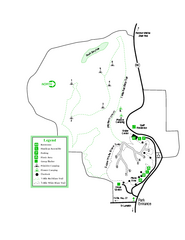
Providence Canyon State Park Map
Map of park with detail of trails and recreation zones
198 miles away
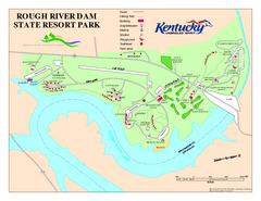
Rough River Dam State Resort Park Map
Map of trails, facilities and golf course in Rough River Dam State Resort Park.
199 miles away
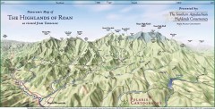
Panoramic Map of the Highlands of Roan (from TN)
Panoramic map of the Highlands of Roan as seen from Tennessee.
199 miles away

Roan Mountain Panorama Map
Panoramic Map of the View from the Baud Family Cabin of Roan Mountain, TN. The view overlooks...
199 miles away
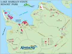
Lake Barkley State Resort Park Map
Map of the trails and facilities of Lake Barkley State Resort Park.
200 miles away
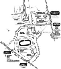
Bristol Dragway Map
Guide to campgrounds and parking at Bristol Dragway
201 miles away
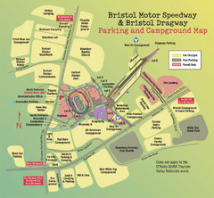
Bristol Motor Speedway Map
Guide to the campgrounds and parking at the Speedway
201 miles away
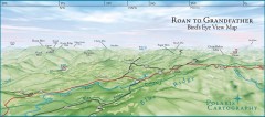
Panoramic View of Roan to Grandfather Map
This panorama takes in the vista from Roan to Grandfather mountain - overlooking the upper Linville...
202 miles away
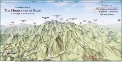
Panoramic Map of the Highlands of Roan (from NC)
Panoramic Map of the Roan Mountain Highlands as seen from North Carolina.
202 miles away
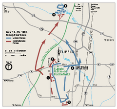
Tupelo National Battlefield Official Map
Official NPS map of Tupelo National Battlefield in Mississippi. Tupelo National Battlefield (NB...
203 miles away
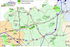
Green River Area Hunting Map
Map marking highways, forests, parks and hunting zones in Kentucky's beautiful Green River...
203 miles away
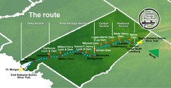
Alabama Scenic River Trail Map
631 miles of riverway. Starts in northeastern Alabama's mountains, flows through 9 lakes and...
203 miles away
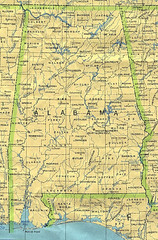
Alabama Map
County boundaries and names, county seats, rivers. Original scale 1:2,500,000 U.S. Geological...
203 miles away

