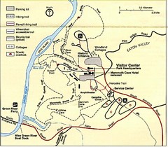
Asheville School Campus map
Map of the 300-acre campus of Asheville School, a private boarding school for grades 9-12 with...
155 miles away
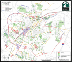
Bowling Green Biking Map
Map of biking trails in the city of Bowling Green area. Includes all streets, parks, some buildings...
157 miles away
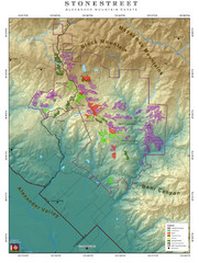
Alexander Mountain Estate Map
Vineyards in Alexander, North Carolina
157 miles away
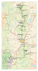
Asheville, North Carolina Parkway Map
158 miles away
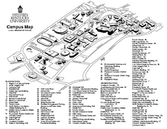
Western Kentucky University Map
Western Kentucky University Campus Map. All buildings shown
158 miles away
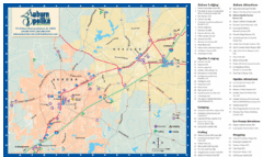
Auburn and Opelika City Map
Map of Auburn and Opelika, Alabama with tourist information.
159 miles away
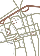
Downtown Asheville Map
Located in the heart of Asheville’s professional, municipal and cultural activity, Capital...
160 miles away
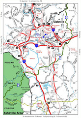
Asheville, NC Tourist Map
160 miles away
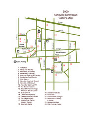
Downtown Asheville Galleria Map
Numbered shopping map of Downtown Asheville.
160 miles away
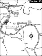
Clarksville, TN-Cumberland River Map
Cumberland River flows past Clarksville that has a great riverfront and services for traveling...
160 miles away
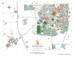
Auburn University Map
Campus Map of Auburn University. All areas shown.
160 miles away
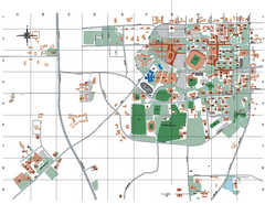
Auburn University Map
161 miles away
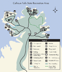
Calhoun Falls State Park Map
Clear map and detailed legend help make this map easy to read and follow.
161 miles away

Clifton, TN Tennessee River Map
For boating navigational information and river road travel along the Tennessee River.
161 miles away
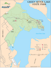
Green River Lake State Park Map
Map of trails and facilities in Green River Lake State Park.
163 miles away
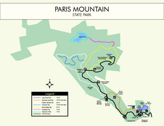
Paris Mountain State Park Map
Clearly labeled map of this beautiful state park.
164 miles away
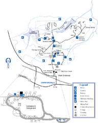
A. H. Stephens Historic Park Map
Map of park with detail of trails and recreation zones
164 miles away
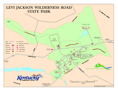
Levi Jackson Wilderness Road State Park Map
Map of trails and facilities of Levi Jackson Wilderness Road State Park.
165 miles away
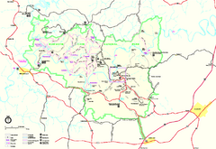
Mammoth Cave National Park Official Park Map
Official NPS map of Mammoth Cave National Park in Kentucky. Most of the park's resources and...
165 miles away
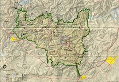
Mammoth Cave National Park Map
Visitor Center Area Map and Park Map. Topographical map that shows parameters of the park as well...
165 miles away
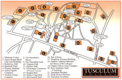
Tusculum College Campus Map
Campus map of Tusculum College in
165 miles away
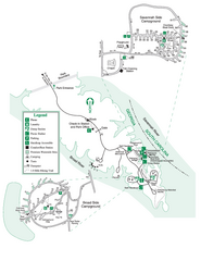
Bobby Brown State Park Map
Map of park with detail of trails and recreation zones
166 miles away
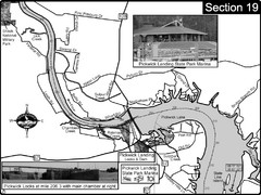
Pickwick Lake Tennessee River Map
For boating navigational information and river road travel along the Tennessee River. This map...
167 miles away

Tishomingo State Park, Mississippi Map
This map unfortunately does not adequately represent this park which is in one of the few areas of...
170 miles away
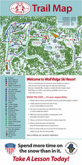
Wolf Laurel Ski Resort Ski Trail Map
Trail map from Wolf Laurel Ski Resort.
171 miles away
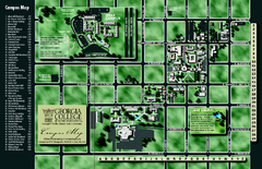
Georgia College Campus Map
Georgia College Campus Map. Shows all areas.
171 miles away
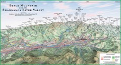
Black Mountain Panorama map
Panoramic map of the Black Mountain, NC and Swannanoa River Valley. Shows all mountains with...
171 miles away
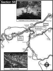
Harlan, KY-Cumberland River Headwaters Map
Section 58 of the Cumberland River Guidebook shows the beginning of the Cumberland River at the...
172 miles away
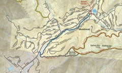
Montreat trail map
Detailed guide to the trail system surrounding the village of Montreat, NC.
174 miles away
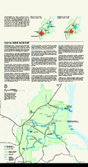
Shiloh National Military Park Official Park Map
Official NPS map of Shiloh National Military Park in Tennessee. The park is open every day except...
176 miles away
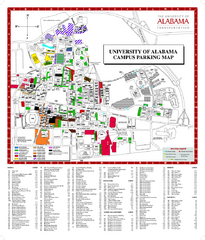
University of Alabama Map
176 miles away
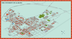
University of Alabama Map
University of Alabama Campus Map. All areas shown.
176 miles away
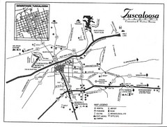
Tuscaloosa Map
176 miles away
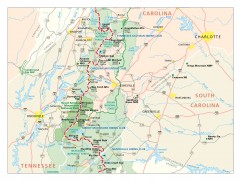
Appalachian Trail in North Carolina Map
Appalachian Trail in North Carolina. Shows major summits, National Forests, and hiking clubs.
177 miles away
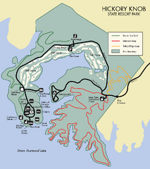
Hickory Knob State Park Map
Detailed map of this beautiful state park.
177 miles away
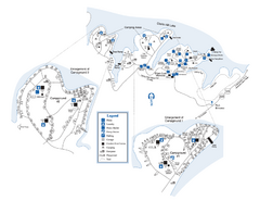
Elijah Clark State Park Map
Map of park with detail of trails and recreation zones
178 miles away
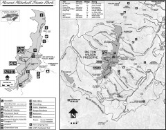
Mount Mitchell State Park map
Official map of Mt. Mitchell State Park in North Carolina. Park contains the 6,684 ft summit of...
178 miles away
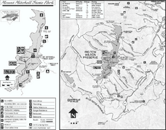
Mount Mitchell State Park map
Detailed recreational map for Mt. Mitchell State Park in North Carolina
179 miles away
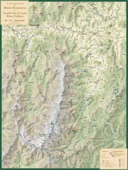
Black Mountains and South Toe and Cane River...
Guide to recreation around Mt. Mitchell State Park and Black Mountains
180 miles away

