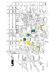
University of Alabama at Birmingham Map
University of Alabama at Birmingham Campus Map. All buildings shown.
131 miles away

UAB and Area 5 Dart Sysetm Map
132 miles away

Brookwood Medical Center Map
133 miles away
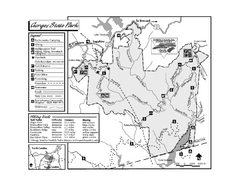
Gorges State Park map
Detailed recreation map for Gorges State Park in North Carolina
134 miles away
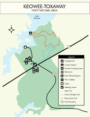
Keowee Toxaway State Park Map
Clear and detailed map of this wonderful state park.
134 miles away

Waynesville and Lake Junaluska Panoramic Map
Panoramic Map taking in Waynesville, Lake Junaluska and the Richland Creek watershed in Haywood...
135 miles away
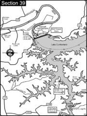
Lake Cumberland-Cumberland River Map
Lake Cumberland is formed by a dam on the Cumberland River in Section 39 of the Cumberland River...
135 miles away
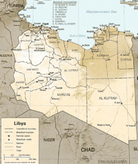
Lybia Map
Clear map and legend of this African Nation.
136 miles away
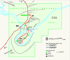
Horseshoe Bend National Military Park Official Map
Official NPS map of Horseshoe Bend National Military Park in Alabama. Horseshoe Bend National...
137 miles away
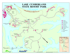
Lake Cumberland State Resort Park Map
Map of trails and facilities for Lake Cumberland State Resort Park.
137 miles away
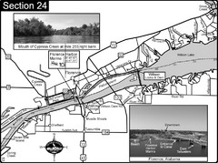
Florence, AL Tennessee River Map
For boating navigational information and river road travel along the Tennessee River. This map...
138 miles away
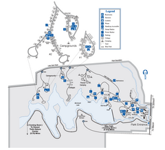
Indian Springs State Park Map
Map of park with detail of trails and recreation zones
138 miles away
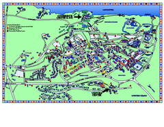
Clemson University Map
Clemson University Campus Map. All buildings shown.
138 miles away
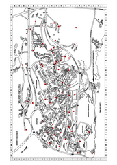
Clemson University Map
138 miles away
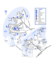
Hart State Park Map
Map of park with detail of trails and recreation zones
138 miles away

Heritage Acres RV Park Map
Map of Heritage Acres RV Park in Tuscumbia, Alabama showing lots and roos. Rows are named after...
140 miles away
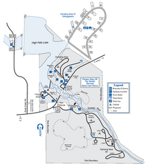
High Falls State Park Map
Map of park with detail of trails and recreation zones
140 miles away
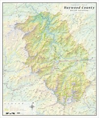
Haywood County Topographical Map
This topographic wall map of Haywood County emphasizes the rugged mountain terrain and natural...
141 miles away
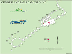
Cumberland Falls Map
141 miles away
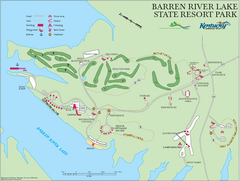
Barren River Lake State Resort Park Map
Map of facilities and golf course in Barren River Lake State Resort Park.
142 miles away
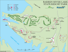
Barren River State Park map
Recreation map for Barren River Lake State Park in Kentucky
142 miles away
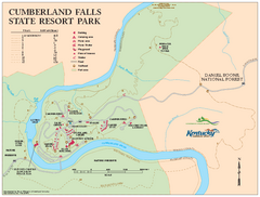
Cumberland Falls State Resort Park map
Detailed recreation map for Cumberland Falls State Resort Park in Kentucky
143 miles away
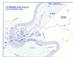
Cumberland Falls State Resort Park Map
Cumberland Falls Park Area Map
143 miles away
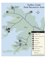
Sadlers Creek State Park Map
This simple map gives you an easy to follow layout of this amazing state park.
143 miles away
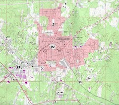
Alexander City Map
Topography city map of Alexander City, Alabama
143 miles away

Panoramic View of the Reserve Map
Panoramic map of the view northeast from 'Gladiola Ridge' in Brevard, North Carolina.
145 miles away
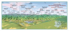
Northwest Reserve Panorama Map
Panoramic Map of the view Northwest from the Reserve in Brevard, North Carolina.
145 miles away
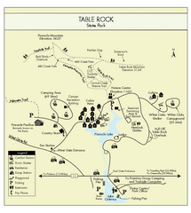
Table Rock State Park MAP
Clear and simple state park map and legend.
145 miles away
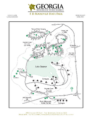
F.D. Roosevelt State Park Map
Map of park with detail of trails and recreation zones
145 miles away

Map of Southern Blue Ridge Escarpment
Map of the Nature Conservancy's Southern Blue Ridge Escarpment project area showing protected...
146 miles away
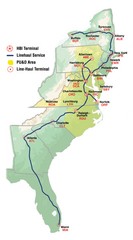
Linehaul Service Area Map
Service Area Map of Linehaul Surface Transportation
146 miles away
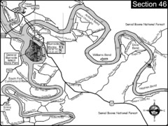
Burnside, KY-Cumberland River Map
Burnside, Kentucky is located at the fork of the Cumberland River and the South Fork. This is...
148 miles away
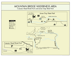
Mountain Bridge Wilderness Area Map
Map and legend marking bathrooms, picnic sites, trails and more.
148 miles away

The Reserve Shaded Relief Map
This map is a shaded relief property map of The Reserve in North Carolina with survey boundaries...
149 miles away
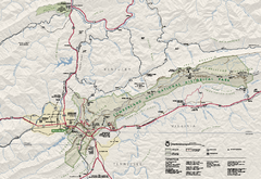
Cumberland Gap National Historical Park Official...
Official NPS map of Cumberland Gap National Historical Park in Virginia-Tennessee-Kentucky. Map...
151 miles away
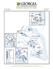
Richard B. Russell State Park Map
Map of park with detail of trails and recreation zones
152 miles away
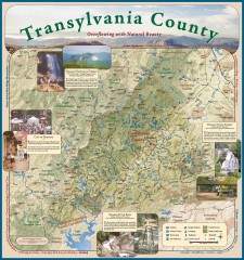
Transylvania County Tourism Development Map
Transylvania County tourist map, showing all points of interest including hiking and picnic areas.
152 miles away

Lake Oconee Map
152 miles away
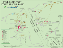
Pine Mountain State Resort Park Map
Map of trails and facilities in Pine Mountain State Resort Park .
153 miles away
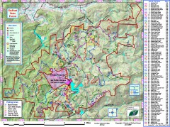
DuPont State Forest Trail map
Trail map of DuPont State Forest. Shows all trails with mileages. From dupontforest.com: "...
153 miles away

