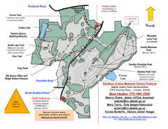
Davidson-Arabia Mountain Nature Preserve Map
Davidson-Arabia Mountain Nature Preserve is comprised of 570 acres of granite outcrop, wetlands...
108 miles away

Panola Mountain State Park Map
Map of park with detail of trails and recreation zones
108 miles away
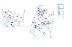
Fort Yargo State Park map
Detailed recreation and camping map for Fort Yargo State Park in Georgia
109 miles away
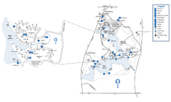
Fort Yargo State Park Map
Map of park with detail of trails and recreation zones
109 miles away
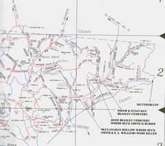
Trousdale County Muttonbluff Map
Pictured is a part of a map of Trousdale County containing the extreme northeast section. The...
110 miles away
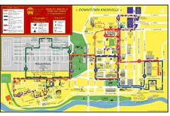
Knoxville, TN Tourist Map
110 miles away
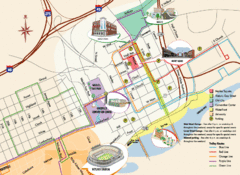
Knoxville, TN Tourist Map
110 miles away
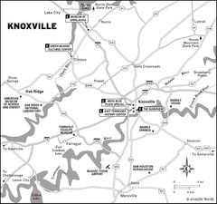
Knoxville, TN Tourist Map
110 miles away
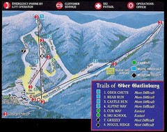
Ober Gatlinburg Ski Resort Ski Trail Map
Trail map from Ober Gatlinburg Ski Resort.
110 miles away
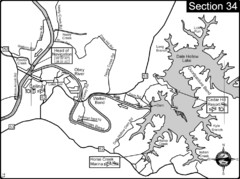
Celina, TN Dale Hollow Lake-Cumberland River Map
Celina Tennessee is the location for the head of navigation for the Cumberland River at the fork of...
114 miles away
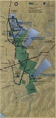
Antietam National Battelfield Map
115 miles away
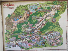
Dollywood Park Map
115 miles away

Nashville Zoo Map
117 miles away
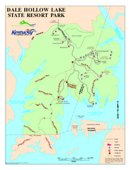
Dale Hollow Lake State Park Map
Map of trails and facilities of Dale Hollow Lake State Park.
120 miles away
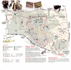
Percy Warner Park Map
121 miles away
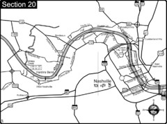
Nashville, TN-Cumberland River Map
The Cumberland River is an important waterway to the city of Nashville. Nashville is also a great...
122 miles away
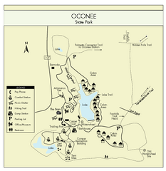
Oconee State Park Map
Beautiful state park clearly mapped with legend.
122 miles away
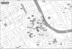
Downtown Nashville, TN Tourist Map
122 miles away
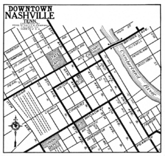
Downtown Nashville, TN Tourist Map
122 miles away
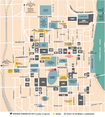
Nashville, TN Tourist Map
122 miles away
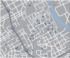
Nashville, TN Tourist Map
122 miles away
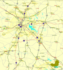
Nashville, TN Tourist Map
122 miles away
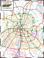
Nashville Road Map
Shows roads and major streets in Nashville, TN area
122 miles away
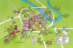
Nashville, TN Tourist Map
122 miles away
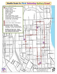
Nashville First Saturday Gallery Crawl Shuttle...
122 miles away

Nashville City Map
122 miles away
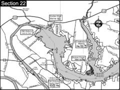
Old Hickory Lake-Cumberland River Map
Section 22 from the Cumberland River Guidebook shows the dam that forms Old Hickory Lake near...
123 miles away

Sassafras Ridge Panorama Map
Panoramic view from Sassafras Ridge near Cashiers, North Carolina.
123 miles away

Midtown Nashville and West End Map
124 miles away
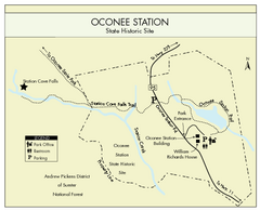
Oconee Station Map
Clear and simple map of Oconee State Park's station.
124 miles away
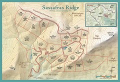
Sassafras Ridge Shaded Relief Map
This map is a shaded relief property map with survey boundaries and property roads. The map...
124 miles away

Athens, Georgia City Map
126 miles away
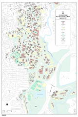
University of Georgia Map
Campus map of the University of Georgia. All buildings shown.
126 miles away
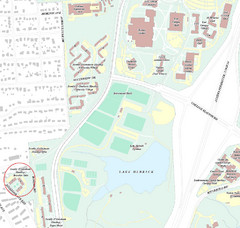
Brandon Town Map
Town of Brandon and University of Georgia Campus
127 miles away

University of Georgia and Surrounding Area Map
128 miles away
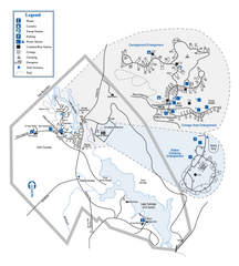
Hard Labor Creek State Park Map
Map of park with detail of trails and recreation zones
129 miles away

Athens Airport Lines Map
129 miles away
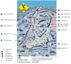
Cataloochee Ski Area Ski Trail Map
Trail map from Cataloochee Ski Area.
130 miles away
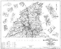
Mccreary County General Highway Map
Map of McCreary County with road, waterways and towns identified.
131 miles away
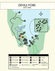
Devils Fork State Park Map
Clearly marked state park map.
131 miles away

