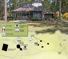
Forest Capital Museum State Park Map
Map of park with detail of recreation zones
347 miles away
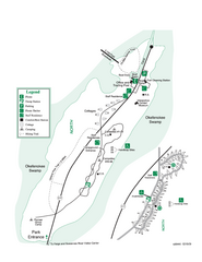
Stephen C. Foster State Park Map
Map of park with detail of trails and recreation zones
349 miles away
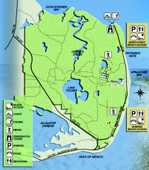
Bald Point State Park Map
Map of park with detail of trails and recreation zones
349 miles away
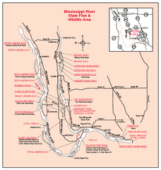
Mississippi River, Illinois Site Map
350 miles away
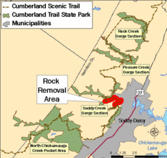
Cumberland Trail, Alabama Map
350 miles away
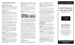
Smith Mountain Lake State Park Map
Hiking, horse back, fishing and more are all available at this amazing state park.
351 miles away
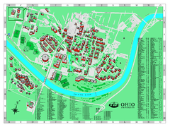
Ohio University Map
Ohio University Campus Map. All buildings shown.
351 miles away

Gulf Islands National Seashore Park Map
Official NPS map of the Gulf Islands National Seashore Park. Largest National Seashore in the US...
352 miles away
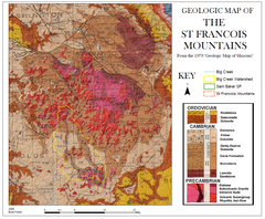
St. Francois Mountains Geologic Map
Map displaying the geology of the St. Francois Mountains in Missouri. Taken from the 1979 "...
354 miles away
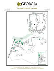
Crooked River State Park Map
Map of park with detail of trails and recreation zones
354 miles away
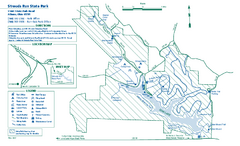
Strouds Run State Park map
Detailed recreation map for Strouds Run State Park in Ohio.
354 miles away
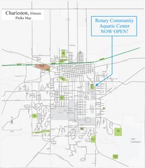
Charleston Town Map
355 miles away
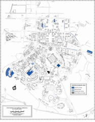
University of North Carolina at Chapel Hill Map
UNC Chapel Hill Visitor/Meter Map
356 miles away
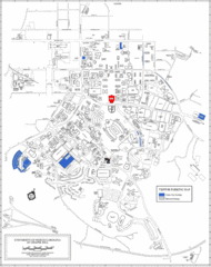
University of North Carolina at Chapel Hill Map
Map of University of Carolina Campus. Includes location of all buildings, streets and parking.
357 miles away
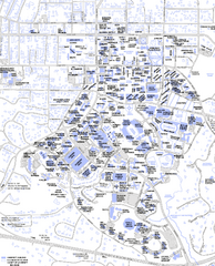
UNC-CH Campus Map
357 miles away

North Carolina Counties Map
357 miles away
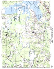
North Carolina Rivers Map
357 miles away
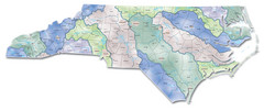
Watersheds North Carolina Map
North Carolina’s rivers link the Blue Ridge, Piedmont, and Coastal Plain. This map shows the...
357 miles away
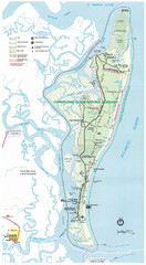
Cumberland Island Map
Map of Cumberland Island, including hiking trails and campgrounds
357 miles away
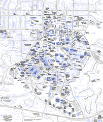
UNC-CH Campus Map
357 miles away
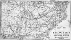
1865 Southern US States Railway Map
Guide to railroad travel in the southern United States
357 miles away
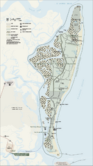
Cumberland Island National Seashore Map
Official NPS map of Cumberland Island National Seashore, Cumberland Island, Georgia. Rated #4...
358 miles away
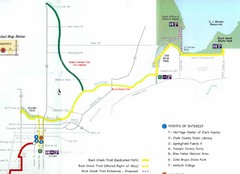
Buck Creek Trail Map
358 miles away
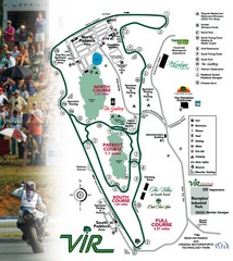
Virginia International Raceway Guide Map
VIR Guide Map
358 miles away

Mississippi & Alabama coastal area, 1732 Map
359 miles away
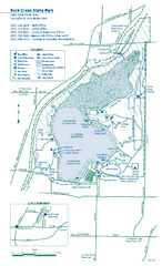
Buck Creek State Park map
Detailed recreation map for Buck Creek State Park in Ohio
359 miles away
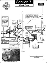
Anderson, IN & Mounds State Park Wabash River...
This is a page from the White River Guidebook. The map shows important information for boaters and...
360 miles away
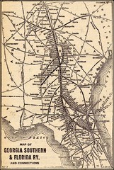
1913 Georgia Southern & Florida Railway Map
360 miles away
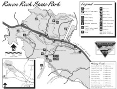
Raven Rock State Park Map
361 miles away
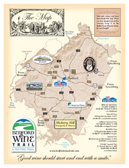
Bedford Wine Trail Map
Map of Bedford Wine Trail, showing all area wineries and vineyards.
361 miles away
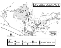
Eno River State Park map
Detailed recreation map for Eno River State Park in North Carolina
363 miles away
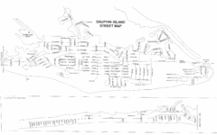
Dauphin Island Street Map
363 miles away
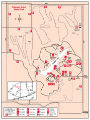
Ramsey Lake State Park, Illinois Site Map
363 miles away
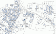
Duke University Map
364 miles away

Dauphin Island Change Detection Map
364 miles away
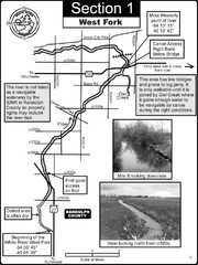
Winchester, IN Beginning of the White River-West...
This is a page from the White River Guidebook. The map shows important information for boaters and...
364 miles away

Walnut Point State Park, Illinois Site Map
364 miles away
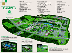
Coastal Carolina University campus map
Coastal Carolina University campus map
365 miles away
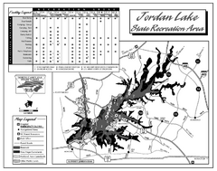
Jordan Lake State Recreation Area map
Detailed recreation map for the Jordan Lake State Recreation area in North Carolina.
365 miles away


