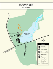
Goodale State Park Map
Easy to read state park map.
273 miles away
New River Trail State Park Map
Clear and detailed state park map.
273 miles away
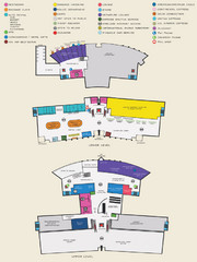
Arkansas International Airport Map
274 miles away
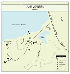
Lake Warren State Park Map
Clearly marked state park map.
275 miles away
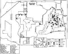
Ferne Clyffe State Park, Illinois Site Map
275 miles away
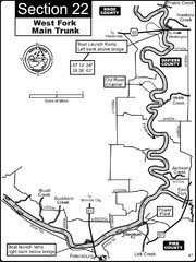
Petersburg, IN White River West Fork Map
This is a page from the White River Guidebook. The map shows important information for boaters and...
275 miles away
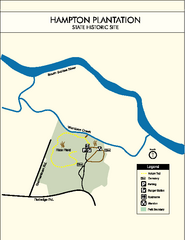
Hampton Plantation State Park Map
Clear and easy to read map.
275 miles away
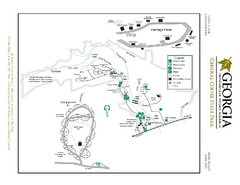
General Coffee State Park Map
Map of park with detail of trails and recreation zones
275 miles away
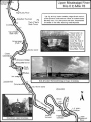
Upper Mississippi River Mile 0 to Mile 78 Map
Historical Map from book "Mississippi River-Historical Sites and Interesting Places
276 miles away
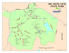
Big Bone Lick State Park Map
Map of trails and facilities for Big Bone Lick State Park.
276 miles away
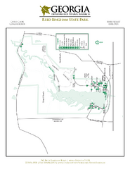
Reed Bingham State Park Map
Map of park with detail of trails and recreation zones
277 miles away
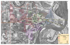
West Memphis City Map
City Map of West Memphis with ward boundaries
277 miles away
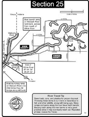
Mount Carmel, IL White River & Wabash River...
This is a page from the White River Guidebook. The map shows important information for boaters and...
278 miles away
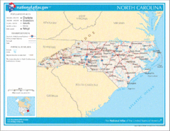
North Carolina Road Map
279 miles away
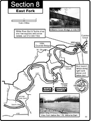
Williams, IN White River East Fork Map
This is a page from the White River Guidebook. The map shows important information for boaters and...
279 miles away
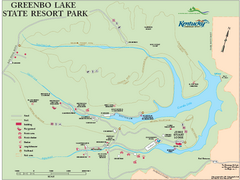
Greenbo Lake State Resort Park map
Detailed recreation map for Greenbo Lake State resort park in Kentucky
280 miles away
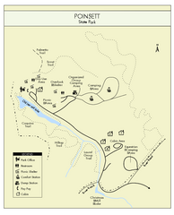
Poinsett State Park Map
Map and legend for this wonderful state park, marking bathrooms, camping grounds, roads, and more.
280 miles away
Blue Ridge Parkway Official Map
Official NPS map of the Blue Ridge Parkway. The Parkway meanders 469 miles through Virginia and...
280 miles away
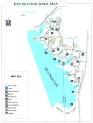
West Boggs Park Map
281 miles away
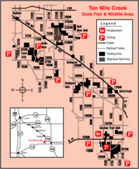
Ten Mile Creek State Wildlife Area, Illinois Site...
283 miles away
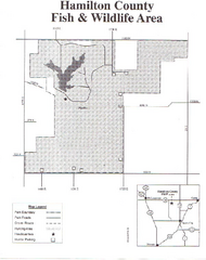
Hamilton County Wildlife Area, Illinois Site Map
284 miles away
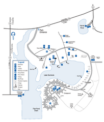
Seminole State Park Map
Map of park with detail of trails and recreation zones
285 miles away
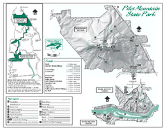
Pilot Mountain State Park map
Detailed recreation map for Pilot Mountain State Park in North Carolina
286 miles away
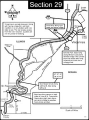
Vincennes, IN/ St. Francisville, IL Wabash River...
This is a page from the Wabash River Guidebook. The map shows important information for boaters and...
287 miles away
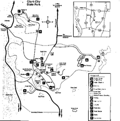
Giant City, Illinois Site Map
287 miles away
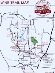
Shawnee Hills Wine Trail Map
Wineries in the Shawnee Hills area of Illinois.
288 miles away

Stone House Trail Map
288 miles away

Vicennes and Knox County Indiana Visitor Map
Street map of Vicennes with maps of the entire state and county as well.
289 miles away
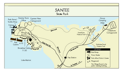
Santee State Park Map
Clear state park map.
289 miles away
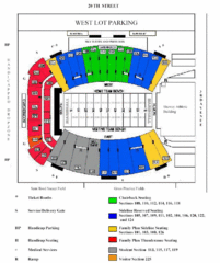
Marshall University Stadium Map
Clear map and legend of Marshall University's stadium.
289 miles away
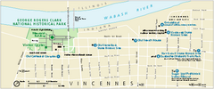
George Rogers Clark National Historical Park...
Official NPS map of George Rogers Clark National Historical Park in Indiana. Map shows all areas...
289 miles away
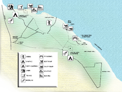
Three Rivers State Park Map
Map of park with detail of recreation zones
290 miles away
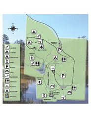
Falling Waters State Recreation Area Map
Map of park with detail of trails and recreation zones
290 miles away
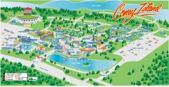
Coney Island Amusement Park Map
Amusement park map. 513-232-8230
290 miles away
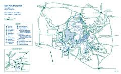
East Fork State Park map
Detailed recreation map for East Fork State Park in Ohio
291 miles away

Cincinnati, Ohio City Map
292 miles away
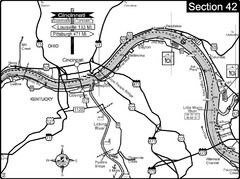
Ohio River at Cincinnati, Ohio and Newport, KY Map
This is a page from the Ohio River Guidebook. The map shows important information for boaters and...
292 miles away
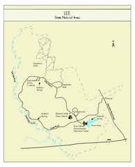
Lee State Park Map
Simple map of this state park.
293 miles away
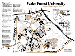
Wake Forest University Map
Campus map of Reynolda Campus
293 miles away
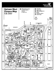
University of Cincinnati - Main Campus Map
University of Cincinnati - Main Campus Campus Map. All areas included.
293 miles away

