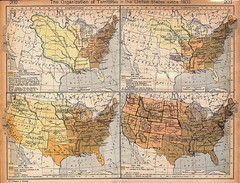
Expansion of United States Territory From 1803...
129 miles away
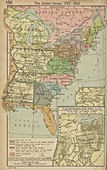
The United States - 1783-1803 Historical Map
129 miles away
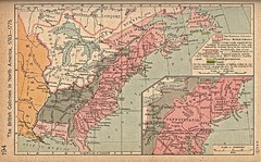
British Colonies - 1763-1776 Historical Map
129 miles away
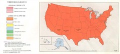
Territorial Expansion in United States - 1920...
129 miles away
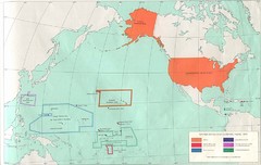
United States Territory - 1970 Historical Map
129 miles away
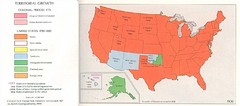
Territorial Expansion in Eastern United States...
129 miles away
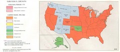
Territorial Expansion in Eastern United States...
129 miles away
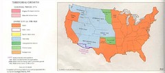
Territorial Expansion in Eastern United States...
129 miles away
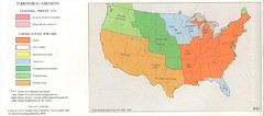
Territorial Expansion in Eastern United States...
129 miles away
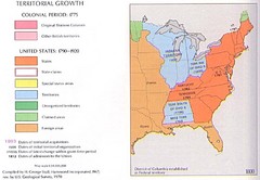
Territorial Expansion in Eastern United States...
129 miles away
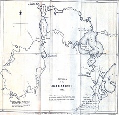
Sources of the Mississippi River - 1834...
129 miles away
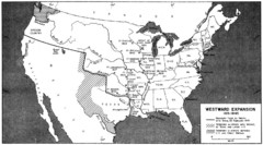
Westward Expansion in the United States 1815-1845...
129 miles away
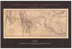
Historical Lewis & Clark Expedition...
129 miles away
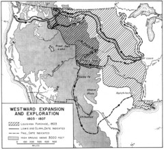
Westward Expansion in the United States 1803-1807...
129 miles away
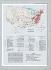
Exploration and Settlement in 1675 Historical...
129 miles away
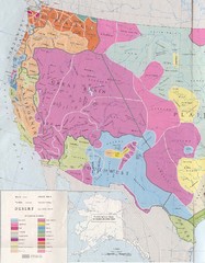
Early Native American Tribes in Western United...
129 miles away
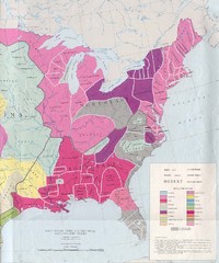
Early Native American Tribes in United States...
129 miles away
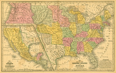
1839 United States Historical Map
129 miles away
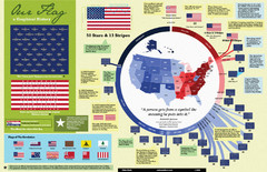
Our Flag: A Graphical Journey Map
A map/timeline that breaks down the visual history of the U.S. flag.
129 miles away
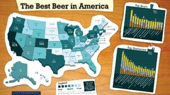
Best Beer in America 2008 Map
This map reveals the best, worst Great American Beer Festival medal winning states over 20 years of...
129 miles away
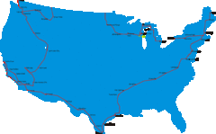
United States Select Cities Map
Approximately twenty cities in the United States.
129 miles away
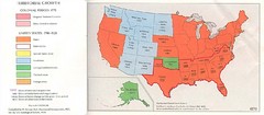
United States in 1870 Map
Map of the United States with territorities color coded and dated for statehood through 1920.
129 miles away
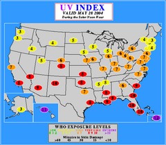
UV Index Map
UV forecast map for May 28, 2004 with exposure levels marked in color.
129 miles away
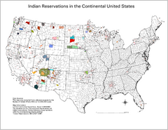
Indian Reservations in the Continental United...
Shows the location of Federal Indian Reservations in the continental United States
129 miles away
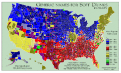
Pop vs Soda US Map
Shows most common names for soft drinks in the US by county. Based on 120,464 respondants.
129 miles away
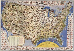
US Wildlife Map
Pictorial map of wildlife and game in the US.
129 miles away
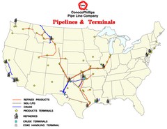
ConocoPhillips Pipelines & Terminals Map
Shows US pipelines & terminals for ConocoPhillips
129 miles away
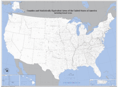
United States County Map
County map of the US
129 miles away
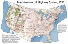
Pre-Interstate US Highway System Map
United States route and highway system pre-interstates, 1955
129 miles away
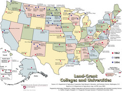
US College and University Land Grant Map
Shows land grants for US colleges and universities from 1862, 1890, and 1994
129 miles away
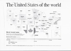
US GDP World Map
Labels each state in the US with the equivalent country in terms of GDP. Scanned.
129 miles away
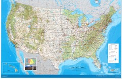
United States Map
Physical relief wall map of the United States.
129 miles away
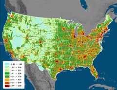
US Carbon Footprint Map
Shows the complete Vulcan Project CO2 emissions (all sectors - those presented in the first three...
129 miles away
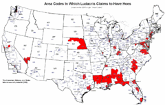
Ludacris' Hoes In Different Area Codes Map
Shows area codes in which rap star Ludacris claims to have hoes from his 2001 single "Area...
129 miles away
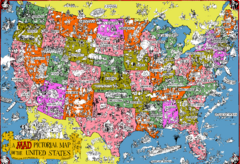
Mad Magazine USA Map
Detailed comedic drawings overlaid on a huge map of the US.
129 miles away
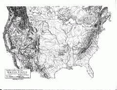
US Map - Landform Outline
Hand-drawn map of the US shows landforms (mountains and rivers) with amazing detail. Map created...
129 miles away

Missouri Voters Guide Map
132 miles away
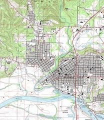
Batesville City Map
Topographic city map of Batesville, Arkansas
132 miles away
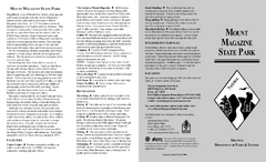
Mount Magazine State Park Map
Map of Mount Magazine State Park showing hiking trails and amenities.
136 miles away

Columbia College Campus Map
Columbia College Campus Map. Shows all buildings.
140 miles away

