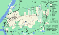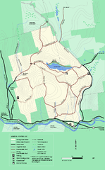
Erving State Park winter use map
Winter use map of the Erving State Park in Massachusetts
0 miles away
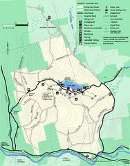
Erving Summer trail map
Summer use map of Erving State Park in Massachusetts.
less than 1 mile away
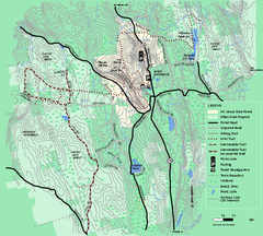
Mt. Grace State Forest trail map
Trail map of Mt. Grace State Forest near Warwick, Massachusetts.
5 miles away
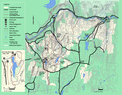
Wendell State Forest trail map
Trail map of Wendell State Forest in Massachusetts.
5 miles away
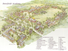
Deerfield Academy Campus Map
Shows buildings and facilities of Deerfield Academy. Scanned.
13 miles away
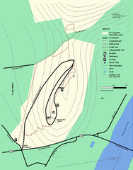
Mt. Sugarloaf State Reservation trail map
Trail map of Mount Sugarloaf State Reservation
14 miles away
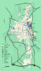
Otter River State Forest summer trail map
Summer trail map of the Otter River State Forest area in Massachusetts.
14 miles away
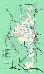
Otter River State Forest winter trail map
Winter usage trail map for Otter River State Park in Massachusetts.
14 miles away
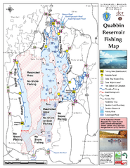
Quabbin Reservoir Fishing Map
Fishing access map of Quabbin Reservoir. Shows all ponds and submerged ponds.
15 miles away
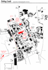
University of Massachusetts Amherst Parking Map
Map of the University of Massachusetts. Includes all buildings, streets, and parking information.
18 miles away
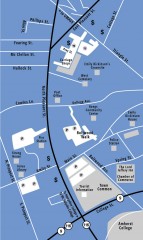
Downtown Amherst, Massachusetts Map
Tourist map of downtown Amherst, Massachusetts, showing attractions, government buildings, atms...
18 miles away
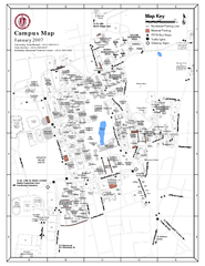
University of Massachusetts - Amherst Map
Campus Map of the University of Massachusetts - Amherst. All buildings shown.
18 miles away
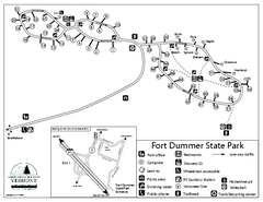
Fort Dummer State Park Campground Map
Campground map of Fort Dummer State Park in Vermont
18 miles away
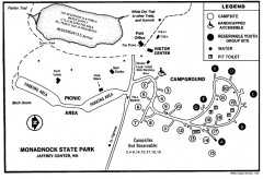
Monadnock State Park map
Campground map of Monadnock State Park in New Hampshire
21 miles away
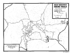
Mount Monadnock State Park Map
Official hiking map of the park. With its thousands of acres of protected highlands, 3,165-ft...
22 miles away
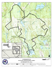
Hubbardston WMA Map
22 miles away
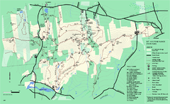
Mount Holyoke Range State Park Map
Trail map of Holyoke Range State Park.
23 miles away
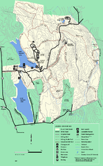
DAR State Forest summer map
Summer use map of the Daughters of the American Revolution state forest.
24 miles away
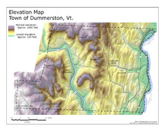
Elevation Map of Dummerston, Vermont
This Hypsometric map is a map that distinguishes elevations progression within a specific...
24 miles away
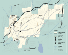
Windsor State Forest trail map
Trail map of Windsor State Forest in Massachusetts.
24 miles away
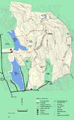
DAR State Forest winter map
Winter use map of the Daughters of the American Revolution State Forest.
25 miles away
Mt. Watatic to Wachusett Mountain, Massachusetts...
25 miles away
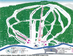
Granite Gorge Ski Trail Map
Trail map from Granite Gorge. This ski area opened in 2005.
25 miles away
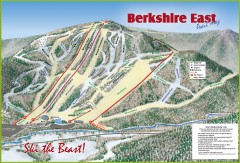
Berkshire East Ski Trail Map
Official ski trail map of Berkshire East ski area from the 2007-2008 season.
26 miles away
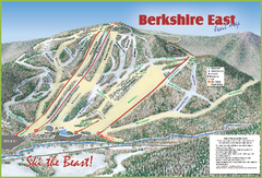
Berkshire East Ski Area Ski Trail Map
Trail map from Berkshire East Ski Area.
26 miles away
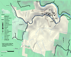
Mohawk Trail State Forest map
Map of the Mohawk Trail State Forest in Charlemont, Massachusetts.
26 miles away
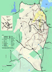
Wachusett Mountain State Reservation trail map
Trail map of Wachusett Mountain State Reservation in Massachusetts.
26 miles away
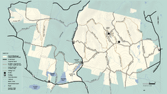
Kenneth Dubuque Memorial State Park trail map
Trail map of the Kenneth Dubuque state park conservation area in Massachusetts.
26 miles away
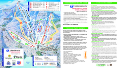
Wachusett Mountain Ski Trail Map
Trail map from Wachusett Mountain.
26 miles away
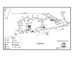
Molly Stark State Park Campground Map
Campground map for Molly State State Park in Vermont
27 miles away
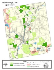
Peterborough Open Space Map
Map of open space lands in Peterborough, New Hampshire
28 miles away
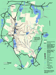
Leominster State Forest trail map
Trail map of Leominster State Forest in Massachusetts
28 miles away
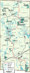
Midstate Trail Map
Map of the Midstate Trail, which runs from Ashburnham to the Rhode Island border. Shows state...
29 miles away
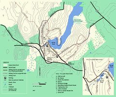
Moore State Park trail map
Trail map of Moore State Park in Massachusetts.
30 miles away
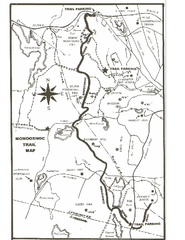
Monoosnoc Trail Map
30 miles away
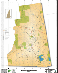
Temple NH Topo Map
Topographical map of Temple, NH area. Shows all roads and points of interest.
30 miles away
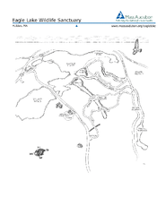
Eagle Lake Conservation Area Map
31 miles away
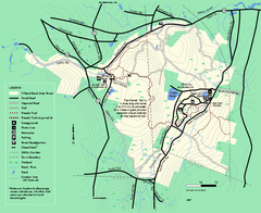
Willard Brook State Forest trail map
Trail map of Willard Brook State Forest in Massachusetts.
31 miles away
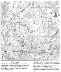
Trout Brook Conservation Area Map
31 miles away

