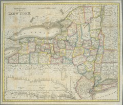
1831 Antique New York State map
The tourist's map of the state of New York : compiled from the latest authorities in the...
150 miles away
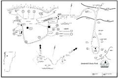
Underhill State Park Campground Map
Campground map for Underhill State Park in Vermont.
151 miles away
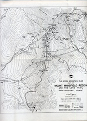
Mount Mansfield Map
Long Trail map for Green Mountains in Vermont
154 miles away
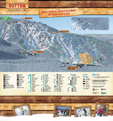
Mont Sutton Trail map
154 miles away
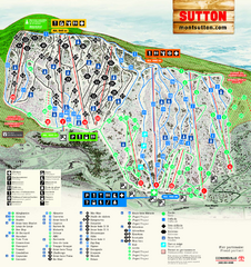
Mont Sutton Ski Trail Map
Trail map from Mont Sutton, which provides downhill skiing. This ski area has its own website.
154 miles away
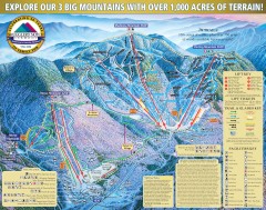
Smugglers' Notch Ski Trail map 2006-07
Official ski trail map of Smugglers' Notch (Smuggs) ski area from the 2006-2007 season.
155 miles away
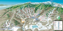
Stowe ski trail map 2006-07
Complete ski trail map of Stowe Mountain resort for 2006-2007 season.
155 miles away
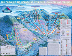
Smugglers’ Notch Resort Ski Trail Map
Trail map from Smugglers’ Notch Resort.
155 miles away
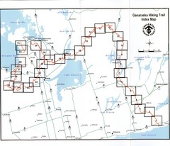
Ganaraska Hiking Trail Map
Map of the hiking trail at Ganaraska forest in Canada. Shows roads, surrounding lakes, towns and...
155 miles away
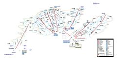
Stowe Mountain Resort Ski Trail Map
Trail map from Stowe Mountain Resort, which provides downhill, nordic, and terrain park skiing. It...
155 miles away
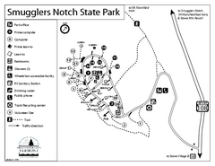
Smugglers Notch State Park Campground Map
Campground map of Smugglers Notch State Park in Vermont
156 miles away
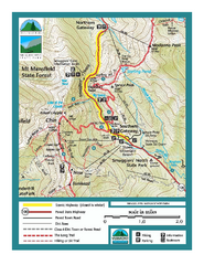
Smugglers Notch Trail Map
Trail map for Smugglers Notch State Park in Vermont
156 miles away
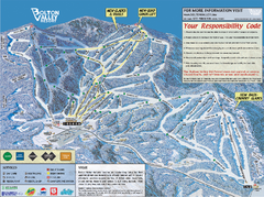
Bolton Valley Resort ski trail map
Official ski trail map of Bolton Valley ski area from the 2005-2006 season.
156 miles away
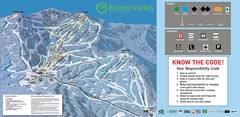
Bolton Valley Resort Ski Trail Map
Trail map from Bolton Valley Resort.
156 miles away
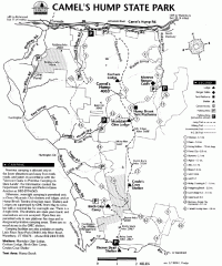
Camel's Hump State Park map
Map of Camel's Hump State Park, Vermont. Shows all hiking, snowmobile, and X-C ski trails...
158 miles away
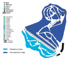
St-Mathieu les Cantons Ski Trail Map
Trail map from St-Mathieu les Cantons.
158 miles away
Fort Ticonderoga 1777 Map
159 miles away
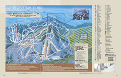
Jay Peak Ski Trail Guide Map
Official ski trail map of Jay Peak ski area from the 2006-207 season.
159 miles away
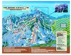
Jay Peak Ski Trail Map
Trail map from Jay Peak.
159 miles away
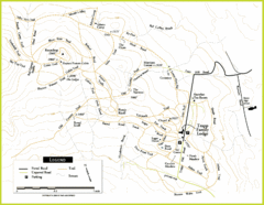
Trapp Ski Center Trail Map
Map of trails in the ski center at the Trapp Family Lodge
159 miles away
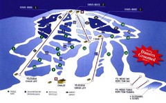
Mont Glen Ski Trail Map
Trail map from Mont Glen, which provides downhill skiing. This ski area has its own website.
160 miles away
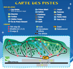
La Vallee du Parc Ski Trail Map
Trail map from La Vallee du Parc, which provides downhill and nordic skiing. This ski area has its...
160 miles away
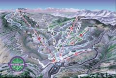
Mad River Glen Ski Area Trail Map
Official ski trail map of Mad River Glen ski area from the 2006-207 season.
160 miles away
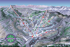
Mad River Glen Ski Trail Map
Trail map from Mad River Glen, which provides downhill skiing. It has 5 lifts servicing 45 runs...
161 miles away

Brighton-Township, Ontario Map
162 miles away
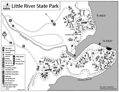
Little River State Park Campground Map
Campground map of Little River State Park in Vermont
162 miles away
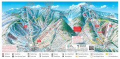
Sugarbush Resort ski trail map 2006-07
Official ski trail map of Sugarbush ski area from the 2006-2007 season.
163 miles away
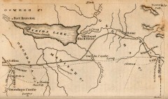
Antique map of Utica, NY from 1830
Map of Utica, NY from The Northern Traveller, and Northern Tour; with the Routes to The Springs...
163 miles away
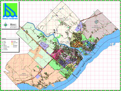
Trois Rivieres City Map
164 miles away
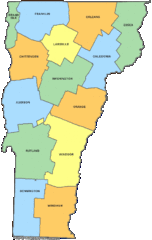
Vermont Counties Map
164 miles away
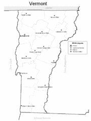
Vermont Airports Map
164 miles away
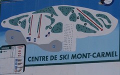
Mont Carmel Ski Trail Map
Trail map from Mont Carmel.
164 miles away
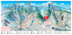
Sugarbush Resort Ski Trail Map
Trail map from Sugarbush Resort.
164 miles away
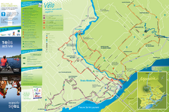
Trois-Rivières Cycling Map
Cycling route map of Trois-Rivières area. Shows multiple routes and hotels.
165 miles away
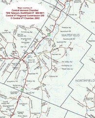
Waitsfield, Vermont City Map
165 miles away
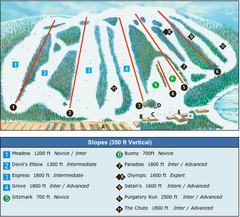
Devil’s Elbow Ski Trail Map
Trail map from Devil’s Elbow, which provides downhill skiing. This ski area has its own website.
165 miles away
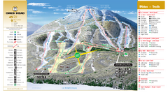
Owl’s Head Ski Trail Map
Trail map from Owl’s Head, which provides downhill skiing. This ski area has its own website.
167 miles away
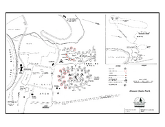
Elmore State Park map
Campground map of Elmore State Park in Vermont
167 miles away

Syracuse University Map
Syracuse University Campus Map. All buildings shown.
167 miles away
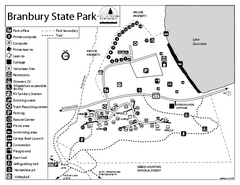
Branbury State Park map
Campground map of Branbury State Park in Vermont
167 miles away

