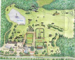
Newbury Perrenial Gardens Guide Map
301 miles away

Bucktail State Park Natural Area map
Detailed map of Bucktail State Park Natural Area in Pennsylvania
301 miles away
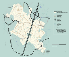
Georgetown-Rowley State Forest summer use map
Summer use map for Georgetown-Rowley State Forest.
301 miles away
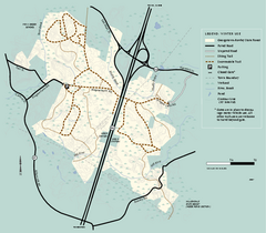
Georgetown-Rowley State Forest winter use map
Winter use map for the Georgetown-Rowley State Forest in Massachusetts.
301 miles away
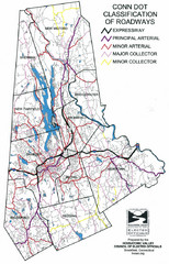
Connecticut Roadway Classification Map
302 miles away
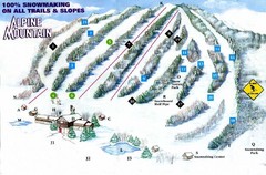
Alpine Mountain Ski Trail Map
Trail map from Alpine Mountain.
302 miles away
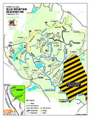
Blue Mountain Reservation Mountain Bike Trail Map
Mountain biking map of the Blue Mountain Reservation from the Westchester Mountain Biking...
302 miles away
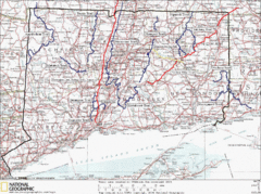
Connecticut Long Distance Trails Map
A map of long distance trails throughout Connecticut. Go to the website below for detailed trail...
302 miles away
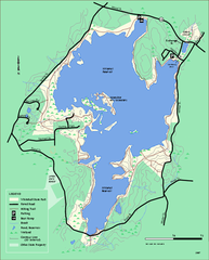
Whitehall State Park trail map
Trail map of Whitehall State Park in Massachusetts.
302 miles away

Kettle Creek State Park Map
Detailed map of Kettle Creek State Park in Pennsylvania.
302 miles away
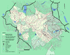
Boxford State Park trail map
Trail map of Boxford State Forest in Massachusetts
302 miles away

Mine Brook Wildlife Management Area Map
303 miles away
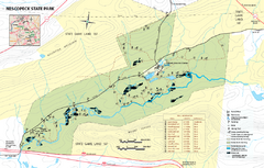
Nescopeck State Park map
Detailed recreation map of Nescopeck State Park in Pennsylvania.
303 miles away
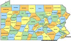
Pennsylvania Counties Map
303 miles away
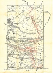
Lehigh Valley Railroad Historical Map
Built in 1846, this railroad was built primarily to haul coal. It was also known as the Route of...
303 miles away
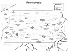
Pennsylvania Airports Map
303 miles away
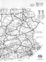
Eastern Pennsylvania Road Map
303 miles away
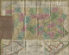
Pennsylvania Tourist Pocket Map
The map is dated 1820-31 by counties shown and comes from Anthony Finley's A New General Atlas...
303 miles away
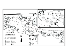
Dinosaur State Park map
Trail map of Dinosaur State Park in Connecticut.
303 miles away
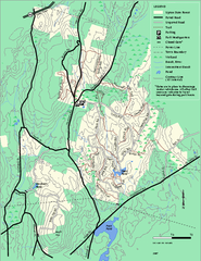
Upton State Forest trail map
Trail map for Upton State Forest in Massachusetts.
303 miles away
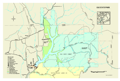
Elk State Park map
Detailed map of Elk State Park in Pennsylvania.
303 miles away
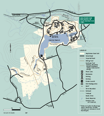
Hopkinton State Park trail map
Trail map of Hopkinton State Park in Massachusetts
303 miles away
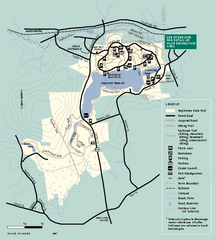
Hopkinton State Park trail map
Trail map of Hopkinton State Park in Massachusetts
303 miles away
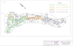
Town of Lexington Historic Districts Map
Identifies the 4 historical districts of Lexington, Massachusetts.
303 miles away
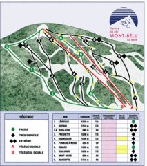
Mont-Bélu Ski Trail Map
Trail map from Mont-Bélu.
304 miles away
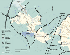
Willowdale State Forest map of Hood Pond
Trail map of the Hood Pond area of the Willowdale State Park in Massachusetts.
304 miles away
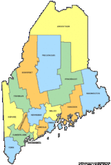
Maine Counties Map
304 miles away
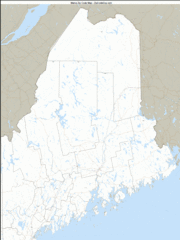
Maine Zip Code Map
Check out this Zip code map and every other state and county zip code map zipcodeguy.com.
304 miles away
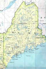
Maine Tourist Map
304 miles away
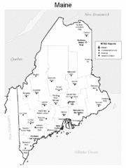
Maine Airports Map
304 miles away
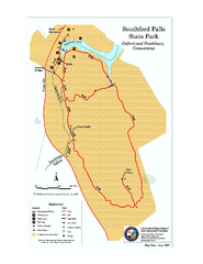
Southford Falls State Park map
Trail map for Southford Falls State Park in Connecticut.
304 miles away
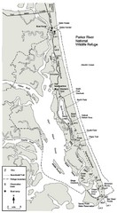
Parker River Map
Map of Parker River National Wildlife Refuge for birdlife
304 miles away
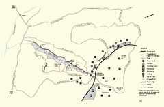
Purgatory Chasm State Reservation trail map
Trail map of Purgatory Chasm State Reservation in Massachusetts.
304 miles away
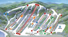
Big Boulder SKi Trail Map
Official ski trail map of Big Boulder ski area from the 2006-2007 season.
304 miles away
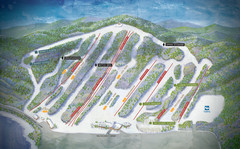
Big Boulder Ski Area Ski Trail Map
Trail map from Big Boulder Ski Area.
304 miles away
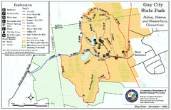
Gay City State Park trail map
Trail map of Gay City State Park in Connecticut.
304 miles away
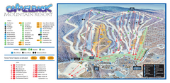
Camelback Ski Trail Map
Ski trail map of Camelback ski area
304 miles away
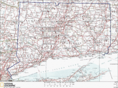
Connecticut Rock Climbing Locations Map
A map of most of the important rock climbing and bouldering areas in Connecticut. Click the link...
305 miles away
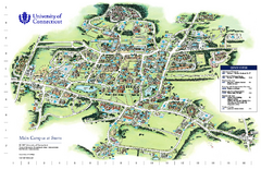
University of Connecticut - Storrs Campus Map
University of Connecticut - Storrs Campus Map. All areas shown.
305 miles away
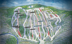
Jack Frost Ski Area Ski Trail Map
Trail map from Jack Frost Ski Area.
305 miles away

