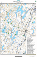
Kennebec Land Trust Map
Map of properties of the Kennebec Land Trust in Maine.
291 miles away
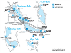
Marinas and Boat Ramps on Chautauqua and...
Recreation map of Chautauqua, Findley, Cassadaga, and Bear Lakes, New York. Shows marinas and boat...
291 miles away
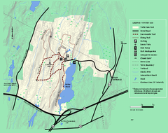
Wells State Park winter trail map
Winter use trail map of Wells State Park in Massachusetts.
291 miles away
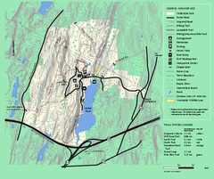
Wells State Park trail map
Trail map of Wells State Park in Massachusetts.
291 miles away
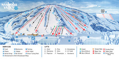
Nashoba Valley Ski Area Ski Trail Map
Trail map from Nashoba Valley Ski Area.
291 miles away
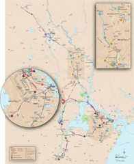
New Hampshire Transit Map
Guide to COAST and Wildcat Transit lines in New Hampshire
291 miles away
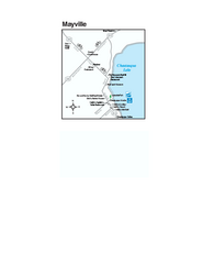
Downtown Mayville Map
Tourist map of Downtown Mayville, New York. Shows museums, restaurants, shops, government buildings...
291 miles away
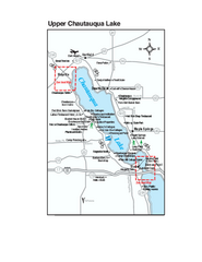
Upper Chautauqua Lake Map
Tourist map of upper Chautauqua Lake, New York. Shops, lodging, and other points of interest in the...
292 miles away
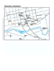
Downtown Jamestown Map
Tourist map of Downtown Jamestown, New York. Shows shops, parking, cinemas, hotels, and government...
292 miles away
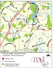
Delaney Conservation Land Map
292 miles away
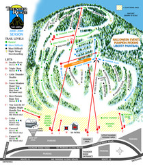
Thunder Ridge Ski Trail Map
Trail map from Thunder Ridge.
292 miles away
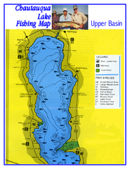
North Chautauqua Lake Fishing Map
Fishing map of northern Chautauqua Lake, New York. Shows marinas, boat ramps, state parks, and...
292 miles away
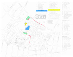
Worcester Polytechnic Institute Campus Map
Map of Worcester Polytechnic Institute. Includes all buildings, parking, streets, and location of...
292 miles away
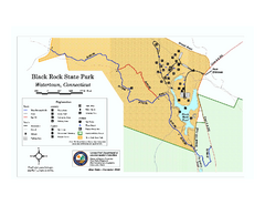
Black Rock State Park trail map
Trail map of Black Rock State Park in Connecticut.
292 miles away
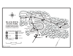
Black Rock Campground map
Map of the Campgrounds in Black Rock State Park.
292 miles away
Mt. Pisgah Map - Northboro, Berlin, Boylston Mass
292 miles away
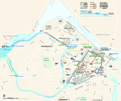
Lowell National Historical Park Official Map
Official NPS map of Lowell National Historical Park in Lowell, Massachusetts. Map shows all of...
293 miles away
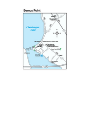
Bemus Point Map
Tourist map of Bemus Point, NY. Shows lodging, parks, shops, restaurants, and other points of...
293 miles away
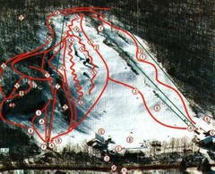
Woodbury Ski Area Ski Trail Map
Trail map from Woodbury Ski Area, which provides downhill, night, nordic, and terrain park skiing...
293 miles away
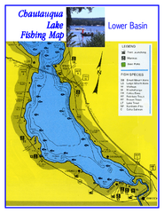
Southern Chautauqua Lake Fishing Map
Fishing map of southern Chautauqua Lake, New York. Shows marinas, boat ramps, state parks and fish...
293 miles away

Kinzua Bridge State Park Map
Detailed map of Kinzua Bridge State Park in Pennsylvania.
293 miles away
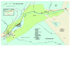
Little Pine State Park Map
Detailed recreation map for Little Pine State Park in Pennsylvania
294 miles away
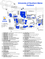
University of Southern Maine - Portland Map
294 miles away
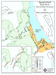
Squantz Pond State Park map
Trail and campground map for Squantz Pond State Park in Connecticut.
294 miles away
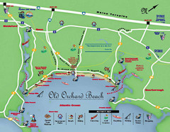
Old Orchard Beach Tourist Map
294 miles away
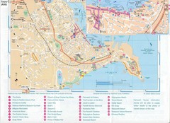
Falmouth Map
Map of Falmouth town and bay. Includes roads, parks, accommodations and attractions.
294 miles away
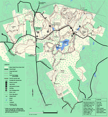
Great Brook Farm State Park trail map
Trail map of Great Brook Farm State Park.
294 miles away
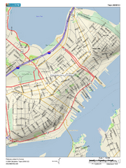
Portland, Maine City Map
294 miles away
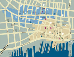
Portland, Maine Tourist Map
295 miles away
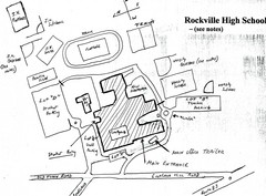
Rockville High School Map
Hand-drawn map of Rockville High School includes all buildings, Parking Lots, and sports fields.
295 miles away
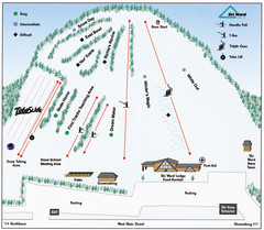
Ski Ward Ski Trail Map
Trail map from Ski Ward.
295 miles away
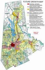
Danbury Regional Growth Map
Guide to future growth of Danbury, CT and surrounds
295 miles away
Mont Fortin Ski Trail Map
Trail map from Mont Fortin. This ski area has its own website.
295 miles away
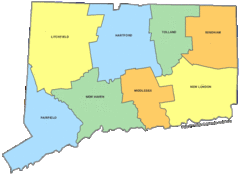
Connecticut Counties Map
296 miles away
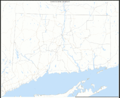
Connecticut Zip Code Map
Check out this Zip code map and every other state and county zip code map zipcodeguy.com.
296 miles away
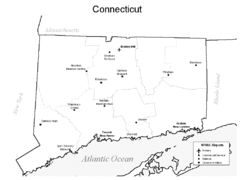
Conneticut Airports Map
296 miles away

Wadsworth Athenium Museum Location Map
Wadsworth Athenium visitor location map with locations of major buildings, streets, parks, and...
296 miles away
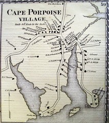
Cape Porpoise Village Map
296 miles away
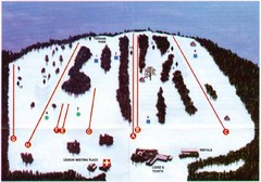
Ski Bradford Ski Trail Map
Trail map from Ski Bradford.
296 miles away

