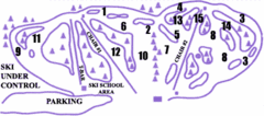
Lost Valley Ski Area Ski Trail Map
Trail map from Lost Valley Ski Area.
280 miles away
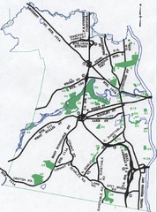
Nashua Parks Map
Map of Nashua, New Hampshire parks
280 miles away

Tanglwood Ski Area Ski Trail Map
Trail map from Tanglwood Ski Area, which provides downhill, night, and terrain park skiing. It has...
280 miles away
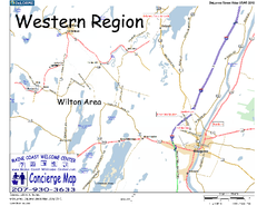
Western Maine, USA Map
Maine Coast Welcome Center's local Map of Western Maine with recommended business locations.
281 miles away
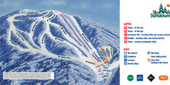
Ski Sundown Ski Trail Map
Trail map from Ski Sundown, which provides downhill and night skiing. It has 5 lifts servicing 15...
282 miles away

Palmer Motorsports Park Map
Track Map for Proposed Palmer Motorsports Park
282 miles away
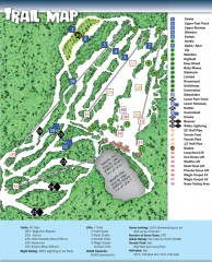
Sno Mountain Ski Trail Map
Official ski trail map of Sno Mountain ski area from the 2007-2008 season.
283 miles away
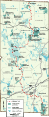
Midstate Trail Map
Map of the Midstate Trail, which runs from Ashburnham to the Rhode Island border. Shows state...
283 miles away
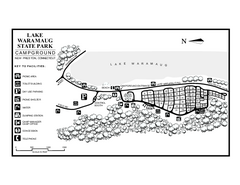
Lake Waramaug State Park campground map
Campground map of Lake Waramaug State Park.
283 miles away
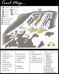
Ski Sawmill Ski Trail Map
Trail map from Ski Sawmill.
283 miles away
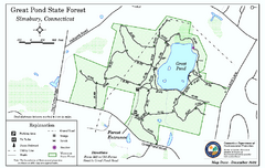
Great Pond State Park trail map
Trail map of Great Pond State Forest in Connecticut.
284 miles away
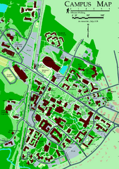
University of New Hampshire Campus Map
University of New Hampshire Campus Map
284 miles away
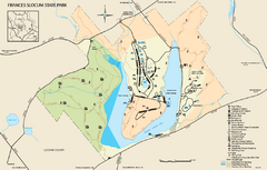
Frances Slocum State Park map
Detailed map of Frances Slocum State Park in Pennsylvania.
284 miles away
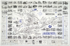
King's Highway Ontario Inn Map
Includes sketches of inns and guesthouses along the King's Highway in Ontario and...
284 miles away
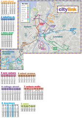
Citylink Route Map
Map of citylink bus routes throughout Auburn and Lewiston, Maine
285 miles away
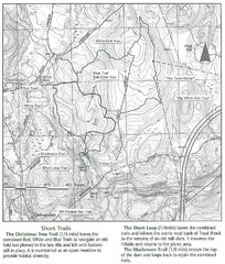
Trout Brook Conservation Area Map
285 miles away
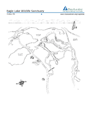
Eagle Lake Conservation Area Map
285 miles away
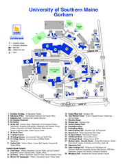
University of Southern Maine - Gorham Map
285 miles away
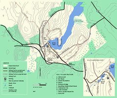
Moore State Park trail map
Trail map of Moore State Park in Massachusetts.
285 miles away
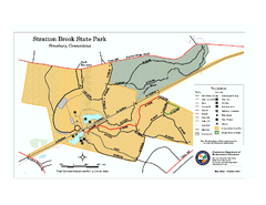
Stratton Brook State Park map
Trail map of Stratton Brook State Park in Connecticut.
286 miles away
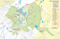
Ricketts Glen State Park map
Detailed recreation map of Ricketts Glen State Park in Pennsylvania
286 miles away
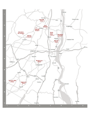
Shawangunk Wine Trail Map
Map of the Shawangunk Wine Trail on the Hudson River in New York. Shows all vineyards and wineries...
286 miles away

Topsmead State Forest map
Trail map for Topsmead State Forest in Connecticut.
286 miles away
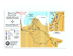
Mount Tom State Park trail map
Trail map of Mt. Tom State Park in Connecticut.
286 miles away
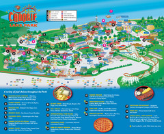
Canobie Lake Park Map
286 miles away
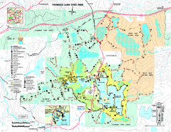
Promised Land State Park map
Detailed recreation map for Promised Land State Park in Pennsylvania
287 miles away
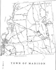
Madison Town Map
287 miles away
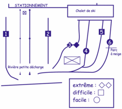
Mont Villa Saguenay Ski Trail Map
Trail map from Mont Villa Saguenay, which provides downhill skiing. This ski area has its own...
287 miles away
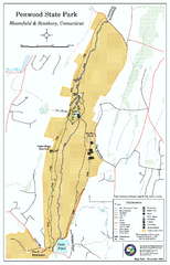
Penwood State Park map
Trail map of Penwood State Park in Connecticut.
288 miles away
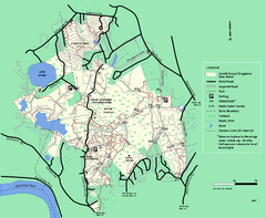
Lowell-Dracut-Tyngsboro State Forest trail map
Trail map for the Lowell-Dracut-Tyngsboro State Forest in Massachusetts
288 miles away
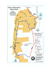
Talcott Mountain State Park map
Trail map of Talcott Mountain State Park in Connecticut.
289 miles away

Ole Bull State Park Map
Detailed recreation map of Ole Bull State Park in Pennsylvania
289 miles away
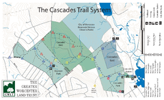
Cascades Park Map
289 miles away
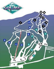
Big Squaw Ski Trail Map
Trail map from Big Squaw, which provides downhill skiing. It has 2 lifts; the longest run is 2253...
290 miles away
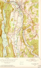
New Milford, Connecticut Map
New Milford, Connecticut topo map with roads, streets and buildings identified
290 miles away
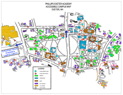
Phillips Exeter Academy Campus Map
Phillips Exeter Academy Campus Map
290 miles away
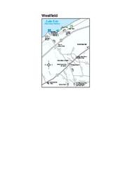
Westfield Map
Tourist map of Westfield, New York, and surrounding area. Shows shops, museums, boat ramps and...
290 miles away
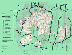
Brimfield State Forest trail map
Trail map of Brimfield State Forest in Massachusetts
290 miles away
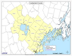
Cumberland County Map
Map showing all city divisions of Cumberland County, Maryland with specific location of the CPCOG.
290 miles away
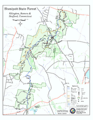
Trail map of Shenipsit State Forest
Trail map of Shenipsit State Forest in Connecticut.
291 miles away

