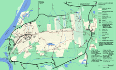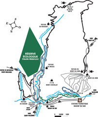
Massif du Sud Nordic Ski Trail Map
Trail map from Massif du Sud, which provides downhill and nordic skiing. This ski area has its own...
262 miles away
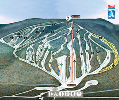
Massif du Sud Ski Trail Map
Trail map from Massif du Sud, which provides downhill and nordic skiing. This ski area has its own...
262 miles away

Hills Creek State Park map
Detailed map of Hills Creek State Park in Pennsylvania
263 miles away
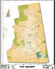
Temple NH Topo Map
Topographical map of Temple, NH area. Shows all roads and points of interest.
263 miles away
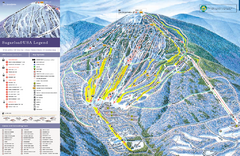
Sugarloaf Ski Trail Map
Trail map from Sugarloaf, which provides downhill, nordic, and terrain park skiing. It has 15 lifts...
263 miles away
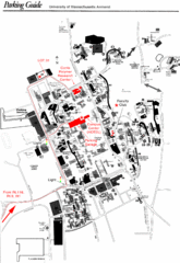
University of Massachusetts Amherst Parking Map
Map of the University of Massachusetts. Includes all buildings, streets, and parking information.
263 miles away
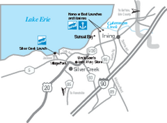
Silver Creek and Irving Map
Tourist map of Silver Creek and Irving, New York. Shows shops, boat ramps, and marinas.
264 miles away
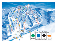
Blandford Ski Area Ski Trail Map
Trail map from Blandford Ski Area.
264 miles away
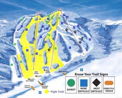
Blandford Ski Trail Map
Official ski trail map of Blandford ski area
264 miles away
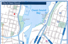
Owen Sound Map
Street map of Owen Sound
264 miles away
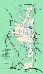
Otter River State Forest winter trail map
Winter usage trail map for Otter River State Park in Massachusetts.
264 miles away
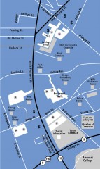
Downtown Amherst, Massachusetts Map
Tourist map of downtown Amherst, Massachusetts, showing attractions, government buildings, atms...
264 miles away
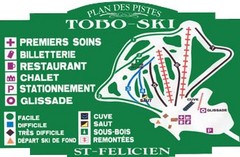
Toboski Ski Trail Map
Trail map from Toboski, which provides downhill and nordic skiing.
265 miles away
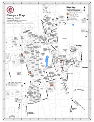
University of Massachusetts - Amherst Map
Campus Map of the University of Massachusetts - Amherst. All buildings shown.
265 miles away
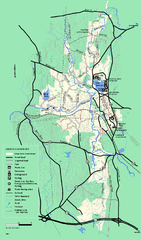
Otter River State Forest summer trail map
Summer trail map of the Otter River State Forest area in Massachusetts.
265 miles away
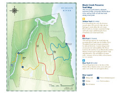
Black Creek Trail Preserve Map
Trail map of Black Creek Preserve on the Hudson River in New York. Shows Yellow Trail, Red Trail...
265 miles away
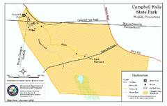
Cambell Falls State Park map
Trail map of Campbell Falls State Park Reserve in Connecticut
265 miles away
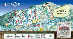
HoliMont Ski Trail Map
Trail map from HoliMont.
266 miles away
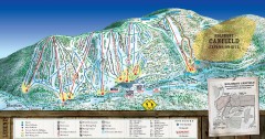
Holimont Ski Trail Map
Official ski trail map of Holimont ski area from the 2006-2007 season.
266 miles away
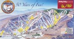
Holiday Valley Ski Trail Map
Official ski trail map of Holiday Valley ski area from the 2007-2008 season.
266 miles away
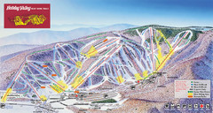
Holiday Valley Resort Ski Trail Map
Trail map from Holiday Valley Resort.
266 miles away
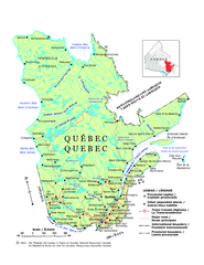
Quebec Political Map
Political map of province of Quebec, Canada. Show capitals, town, and major roads.
267 miles away

Holiday Valley and Holimont Ski Area Map
WNYMBA - Mountain bike trail guide to ski area
267 miles away
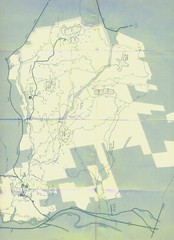
Bear Brook Trails Map
Bear Brook Park Trails and Park map in New Hampshire
267 miles away
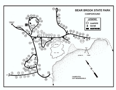
Bear Brook State Park Campground map
Campground map of Bear Brook State Park in New Hampshire
268 miles away
Mt. Watatic to Wachusett Mountain, Massachusetts...
268 miles away
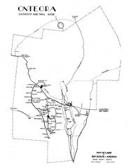
Onteora District Map
Boy Scouts Map of Onteora
268 miles away
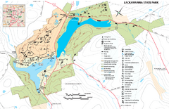
Lackawanna State Park Map
Detailed map of Lackawanna State Park in Pennsylvania.
268 miles away
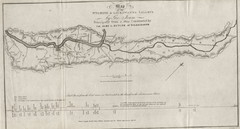
Wyoming and Lackawanna Valleys Map
Railbed from the coal mine at Carbondale to the canal on the Lackawaxen River. Historical map.
268 miles away
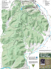
Ellicottville Area Trail Map
Shows mountain biking trails in the Holiday/Holimont/McCarty Hill/Rock City area south of...
269 miles away
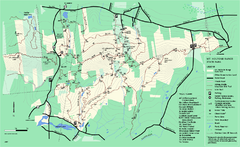
Mount Holyoke Range State Park Map
Trail map of Holyoke Range State Park.
269 miles away
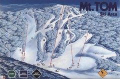
Mount Tom Ski Trail Map
Trail map from Mount Tom, which provides downhill skiing. This ski area opened in 1962.
269 miles away
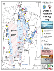
Quabbin Reservoir Fishing Map
Fishing access map of Quabbin Reservoir. Shows all ponds and submerged ponds.
269 miles away
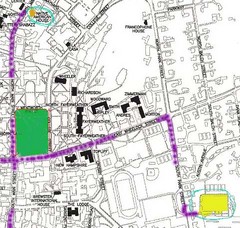
Manchester, New Hampshire City Map
269 miles away
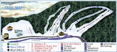
Holiday Mountain Ski Trail Map
Official ski trail map of Holiday Mountain ski area
269 miles away

Pat Mcgee Trail Map
270 miles away
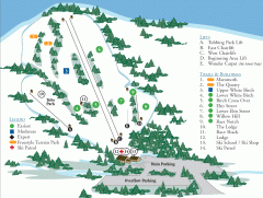
McIntyre Ski Trail Map
Official ski trail map of McIntyre ski area.
270 miles away
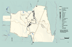
Granville State Forest trail map
Trail map of Granville State Forest in Massachusetts
271 miles away
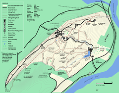
Mt. Tom State Reservation trail map
Trail map of Mt. Tom State Reservation
271 miles away

