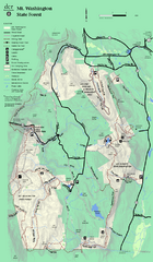
1978 Bradford County, Pennsylvania Map
253 miles away
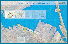
Port of Hamilton Map
Shows piers and tenants of Port of Hamilton, Ontario
254 miles away
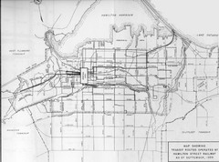
1959 Transit Routes of Hamilton Harbor Map
254 miles away
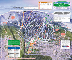
Saddleback Ski Area Ski Trail Map
Trail map from Saddleback Ski Area.
254 miles away
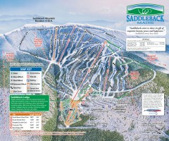
Saddleback Ski Trail Map
Official ski trail map of Saddleback Mountain ski area from the 2006-2007 season.
254 miles away
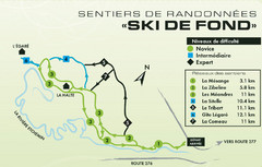
Mont Orignal Ski Trail Map
Trail map from Mont Orignal, which provides downhill and nordic skiing. This ski area has its own...
254 miles away
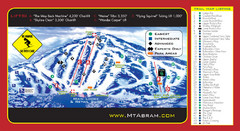
Mt. Abram Ski Resort Ski Trail Map
Trail map from Mt. Abram Ski Resort.
255 miles away
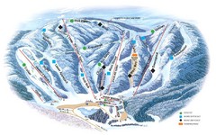
Butternut Ski Area Ski Trail Map
Trail map from Butternut Ski Area.
255 miles away
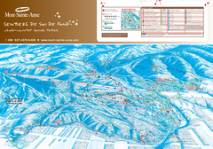
Mont-Sainte-Anne Nordic Ski Trail Map
Trail map from Mont-Sainte-Anne, which provides downhill and nordic skiing. This ski area has its...
255 miles away
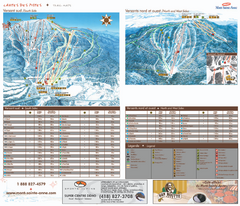
Mont-Sainte-Anne Ski Trail Map
Trail map from Mont-Sainte-Anne, which provides downhill and nordic skiing. This ski area has its...
255 miles away
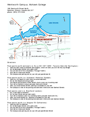
Mohawk College - Wentworth Campus Map
Mohawk College - Wentworth Campus Map. All buildings shown.
255 miles away
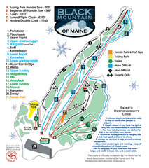
Black Mountain Ski Trail Map
Trail map from Black Mountain, which provides downhill, night, nordic, and terrain park skiing. It...
255 miles away

Poets Walk Trail Map
Guide to Poet's Walk and Hudson River Overlook
255 miles away
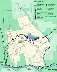
Erving Summer trail map
Summer use map of Erving State Park in Massachusetts.
255 miles away
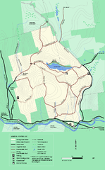
Erving State Park winter use map
Winter use map of the Erving State Park in Massachusetts
256 miles away
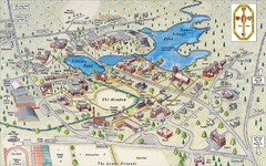
St. Paul's School Campus Map
Campus map of St. Paul's School
256 miles away
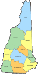
New Hampshire Counties Map
256 miles away
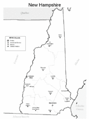
New Hampshire Airports Map
256 miles away
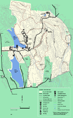
DAR State Forest summer map
Summer use map of the Daughters of the American Revolution state forest.
256 miles away
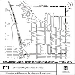
Strathcona Neighbourhood Map
256 miles away
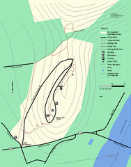
Mt. Sugarloaf State Reservation trail map
Trail map of Mount Sugarloaf State Reservation
256 miles away
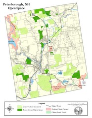
Peterborough Open Space Map
Map of open space lands in Peterborough, New Hampshire
256 miles away

Mt. Pisgah State Park map
Detailed recreation map for Mt Pisgah State Park in Pennsylvania
257 miles away
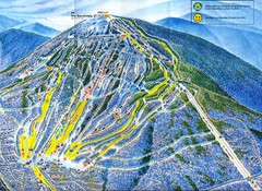
Sugarloaf Mountain Trail Map
Ski trail map
257 miles away
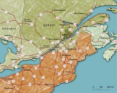
Southern Quebec Tourist Map
257 miles away
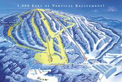
Elk Mountain Ski Trail Map
Trail map from Elk Mountain.
258 miles away
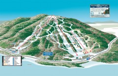
Shawnee Peak Ski Trail Map
Official ski trail map of Shawnee Peak ski area.
258 miles away
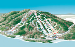
Shawnee Peak Ski Trail Map
Trail map from Shawnee Peak.
258 miles away
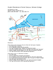
Mohawk College - Fennell Campus Student Residence...
Mohawk College - Fennell Campus Student Residence Halls Map Plan. All buildings shown.
258 miles away
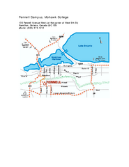
Mohawk College - Fennell Campus Map
Campus Map of Mohawk College of Applied Arts & Technology. Fennell Campus Map Shown.
258 miles away
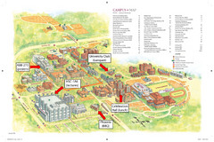
McMaster University Map
Campus map
258 miles away
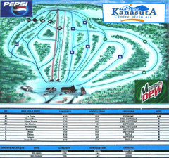
Mont Kanasuta Ski Trail Map
Trail map from Mont Kanasuta, which provides downhill skiing. This ski area has its own website.
258 miles away
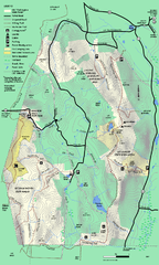
Mt. Washington State Forest trail map
Trail map of Mt. Washington State Forest
258 miles away
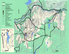
Wendell State Forest trail map
Trail map of Wendell State Forest in Massachusetts.
259 miles away
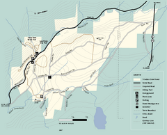
Windsor State Forest trail map
Trail map of Windsor State Forest in Massachusetts.
260 miles away
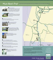
Mum Bett's Trail Map
Historic African American trail guide
261 miles away
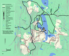
Tolland State Forest summer trail map
Summer use map for Tolland State Forest in Massachusetts.
262 miles away
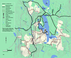
Tolland State Forest winter trail map
Winter usage trail map of the Tolland State Forest area in Massachusetts.
262 miles away
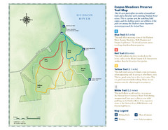
Esopus Meadows Preserve Trail Map
Trail map of Esopus Meadows Preserve park on the Hudson River.
262 miles away

