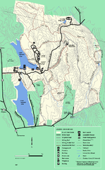
DAR State Forest summer map
Summer use map of the Daughters of the American Revolution state forest.
347 miles away
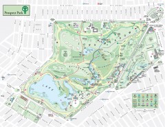
Prospect Park Map
Overview map of Prospect Park, a 585-acre city park located in the heart of Brooklyn. Designed by...
347 miles away
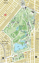
Prospect Park Map
347 miles away
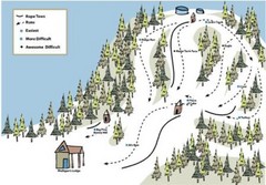
Mulligan’s Hollow Ski Bowl Ski Trail Map
Trail map from Mulligan’s Hollow Ski Bowl.
347 miles away
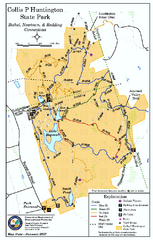
Collis P. Huntington State Park map
Trail map of Collis P. Huntington State Park in Connecticut
347 miles away
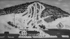
Quechee Lakes Ski Trail Map
Trail map from Quechee Lakes.
347 miles away
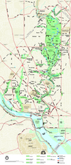
Rock Creek Park map
Map of Rock Creek Park and its immediate surroundings in Washington, DC
347 miles away
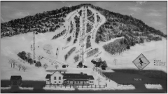
Quechee Club Ski Trail map
Official ski trail map of Quechee ski area from the 2006-2007 season.
347 miles away
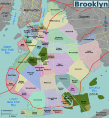
Brooklyn, Neighborhoods Map
347 miles away
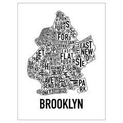
Brooklyn Neighborhood Art Map
Artistic neighborhood map of Brooklyn
347 miles away
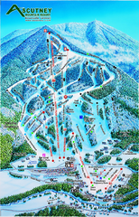
Ascutney Mountain Ski Trail Map 2006-07
Official ski trail map of Ascutney ski area from the 2006-2007 season.
347 miles away
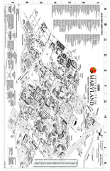
University of Maryland at College Park Map
Campus Map of the University of Maryland at College Park. All buildings shown.
348 miles away
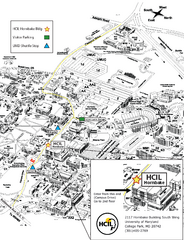
University of Maryland Map
Visitor Map of University of Maryland, shows specific location of the Hornbake building, all other...
348 miles away
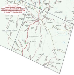
Washington, Vermont Map
348 miles away
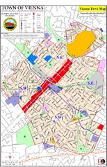
Vienna Town Map
348 miles away
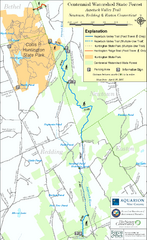
Centennial Watershed State Forest trail map
Trail map of Centennial Watershed State Forest in Connecticut
348 miles away
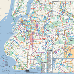
Brooklyn, New York Bus Map
Official MTA Bus Map of Brooklyn, New York. Shows all routes.
348 miles away
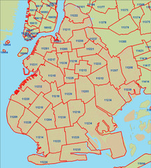
Brooklyn zip codes Map
348 miles away
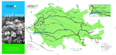
Devil's Den Preserve Map
348 miles away
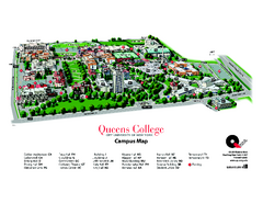
Queens College Campus Map
3D map of Queens College campus. All buildings shown.
348 miles away
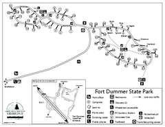
Fort Dummer State Park Campground Map
Campground map of Fort Dummer State Park in Vermont
348 miles away
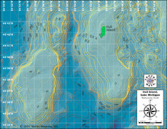
Gull Island Bathymetric Map
348 miles away
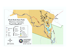
Black Rock State Park trail map
Trail map of Black Rock State Park in Connecticut.
348 miles away
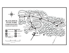
Black Rock Campground map
Map of the Campgrounds in Black Rock State Park.
349 miles away
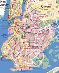
Brooklyn, Attractions Map
349 miles away
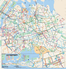
Queens, New York Bus Map
Official MTA Bus Map of Queens, NY. Shows all routes.
349 miles away
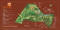
Queens Botanical Garden Map
Shows facilities and names of different gardens. In many languages.
349 miles away
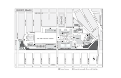
Brooklyn College Campus Map
Brooklyn College Campus Map. All buildings shown.
349 miles away
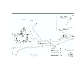
Ascutney State Park map
Campground map of Ascutney State Park in Vermont
349 miles away
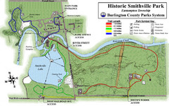
Smithville Park Trail Map
349 miles away
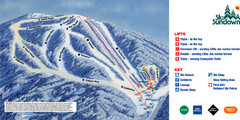
Ski Sundown Ski Trail Map
Trail map from Ski Sundown, which provides downhill and night skiing. It has 5 lifts servicing 15...
349 miles away
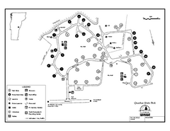
Quechee State Park map
Campground map for Quechee Gorge State Park in Vermont
349 miles away
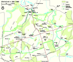
Manassas National Battlefield Park Official Map
Official NPS map of Manassas National Battlefield Park in Virginia.
349 miles away
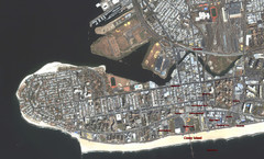
Coney Island Map
Aerial photo Coney Island map
350 miles away
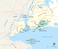
Gateway National Recreation Area Map
Park map of lands in the NPS Gateway National Recreation Area in New York and New Jersey. Shows...
350 miles away
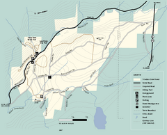
Windsor State Forest trail map
Trail map of Windsor State Forest in Massachusetts.
350 miles away
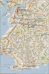
Brooklyn Attractions map
Map of attractions and points of interest in Brooklyn, New York.
350 miles away
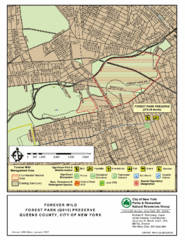
Forest Park Preserve Map
Map of Forest Park Preserve, Queens County, City of New York. 538 acres of trees and fields
350 miles away
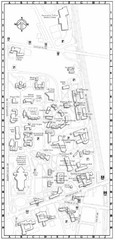
Catholic University of America Campus Map
Campus map of the Catholic University of America in Washington D.C.
350 miles away
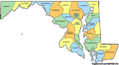
Maryland Counties Map
350 miles away

