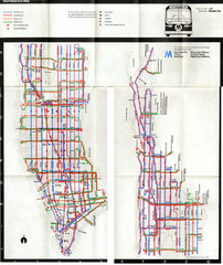
1974 Manhattan Bus Map
344 miles away
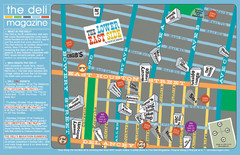
Deli Magazine's Lower East Side Music venues...
344 miles away
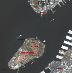
Governor's Island Map
Aerial photo view map of Governor's Island, New York
344 miles away
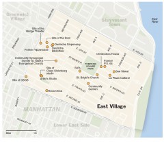
East Village walking tour map
Walking tour of the East Village in New York City, showing points of interest.
344 miles away
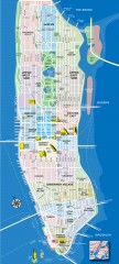
Manhattan Tourist Map
Tourist map of Manhattan, showing Museums, buildings of interest, and various neighborhoods.
344 miles away
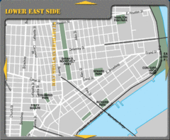
Lower Eastside New York City Hotel Map
344 miles away
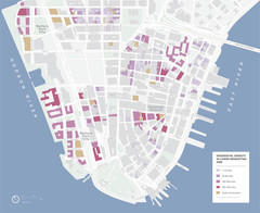
Lower Manhattan Map
344 miles away
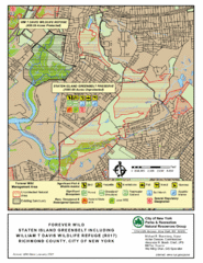
Staten Island Greenbelt Map
344 miles away

Topsmead State Forest map
Trail map for Topsmead State Forest in Connecticut.
344 miles away
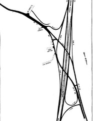
South Laurel, Maryland Map
344 miles away
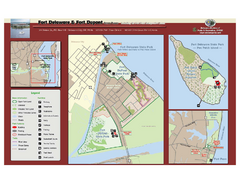
Fort Delaware State Park Map
Nice park on a beautiful island.
344 miles away
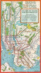
New York Subway Map, 1930
A New York City subway map from the 1930s
344 miles away
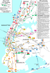
New York City Subway Map
Map of NYC subway transit system and stops
344 miles away
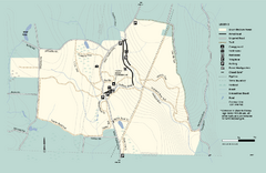
Granville State Forest trail map
Trail map of Granville State Forest in Massachusetts
344 miles away
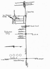
Delaware City Map
City map of Delaware City with Fort Delaware Society highlighted
344 miles away
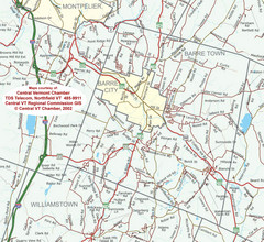
Barre, Vermont Guide Map
344 miles away
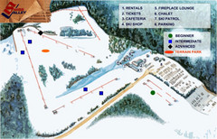
Swiss Valley Ski Lodge Ski Trail Map
Trail map from Swiss Valley Ski Lodge.
345 miles away
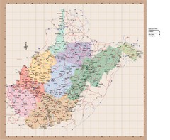
West Virginia Road Map
345 miles away
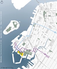
IKEA Brooklyn Map
Location map and map of bus routes and access streets to IKEA in Brooklyn, NY.
345 miles away
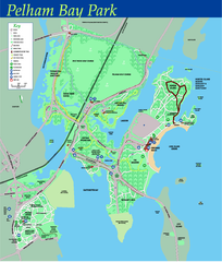
Pelham Bay Park NYC Map
Official detailed map of Pelham bay park, the largest park in New York City at 2,700 acres. Map...
345 miles away
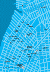
Williamsburg Art Gallery map
Map of Williamsburg and Greenpoint art galleries in Brooklyn, New York. Shows subway stops as well.
345 miles away
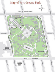
Fort Greene Park Map
Overview map of Fort Greene Park. Shows the park's historic structures and recreational...
345 miles away

South Manitou Island Map
345 miles away
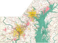
Washington D.C and Baltimore, MD City Map
346 miles away
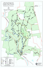
American Legion State Forest trail map
Trail map of American Legion and Peoples State Forests in Connecticut.
346 miles away

New Jersey Tourist Map
Hand drawn tourist map of state of New Jersey, 1955.
346 miles away
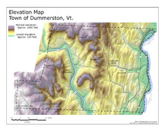
Elevation Map of Dummerston, Vermont
This Hypsometric map is a map that distinguishes elevations progression within a specific...
346 miles away
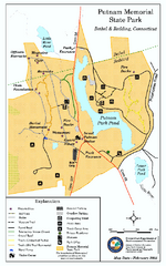
Putnam Memorial State Park map
Trail map for Putnal Memorial State Park in Connecticut,
346 miles away
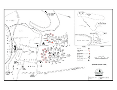
Elmore State Park map
Campground map of Elmore State Park in Vermont
346 miles away
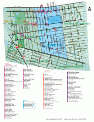
Clinton Hill Neighborhood map
Business and transportation map of the Clinton Hill neighborhood in Brooklyn, New York.
346 miles away
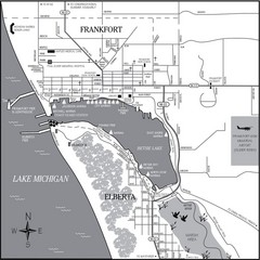
Frankfort-Elberta City Map
City map of Frankfort and Elberta, Michigan on shore of Lake Michigan.
346 miles away

NYC Biking Route Map (Part of Queens, Brookyln...
Official biking route map of part of Queens, Brookyln and Staten Island
346 miles away
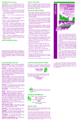
Chain O' Lakes State Park, Indiana Site Map
346 miles away
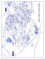
University of Maryland - University College Map
Campus Map of the University of Maryland - University College. All buildings shown.
346 miles away
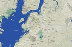
Brooklyn Map
347 miles away

City Island Street Map
Street map of City Island, New York
347 miles away
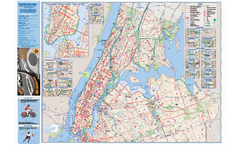
NYC Biking Route Map (Manhattan & Queens)
Official NYC biking map of Manhattan and Queens.
347 miles away
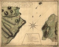
Oyster Bay and Huntington, Huntington Bay Map
A plan of the Narrows of Hells-gate in the East River, near which batteries of cannon and mortars...
347 miles away

