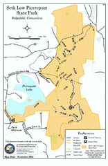
Seth Low Pierrepont State Park Reserve map
Trail map of Seth Low Pierreport State Park in Connecticut.
341 miles away

Upper West Side Map
printable map of Upper West Side, with major landmarks noted
341 miles away

Upper West Side NYC Map 1879
Likely the first printed map of Manhattan's Upper West Side. Map is titled 'The West End...
341 miles away

Staten Island Subway/Railway Map
341 miles away
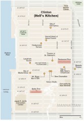
Hells Kitchen tourist map
Detailed tourist map of the Hells Kitchen neighborhood of Manhattan, New York
342 miles away
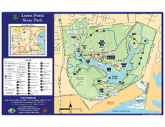
Lums Pond State Park Map
Clear legend and map of this wonderful state park.
342 miles away
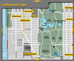
Upper West Side New York Hotel Map
342 miles away
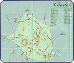
Chester Town Map
342 miles away
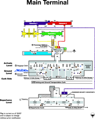
Dulles International Airport Terminal Map
Official Terminal Map of Dulles International Airport. Shows all areas.
342 miles away
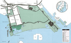
Liberty State Park Map
Map of Liberty State Park, New Jersey on the New York Harbor and next to Ellis Island. Shows...
342 miles away
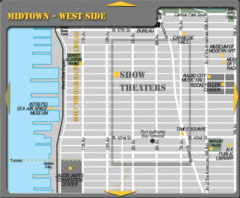
Midtown West Side New York City Map
342 miles away
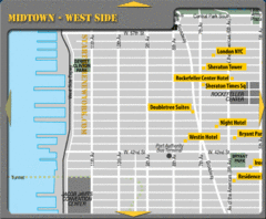
Midtown West Side New York City Hotel Map
342 miles away

Floor Plan of the Museum of Natural History, New...
Official Floor Plan of the Museum of Natural History in New York. All areas and exhibits shown.
342 miles away
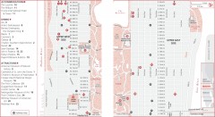
Uptown Manhattan, New York Map
Tourist map of uptown Manhattan in New York City, New York. Attractions, accommodations, and...
342 miles away
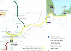
Buck Creek Trail Map
342 miles away
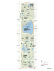
Central Park Fitness Map
Guide to fitness and training in Central Park, New York
342 miles away
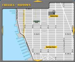
Chelsea Midtown New York City Hotel Map
342 miles away
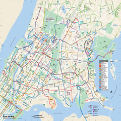
Bronx, New York Bus Map
Official MTA Bus Map of all of the Bronx, New York. Shows all routes.
342 miles away
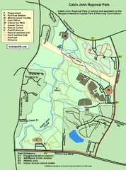
Cabin John Regional Park Map
342 miles away
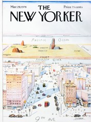
A View of the World from 9th Avenue (Map)
Famous Saul Steinberg New Yorker Magazine cover from 1976 depicts a New Yorker's egocentric...
342 miles away
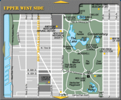
Upper West Side New York Tourist Map
342 miles away

North Manitou Island Map
342 miles away
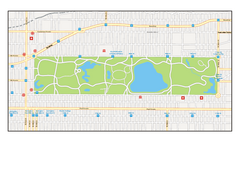
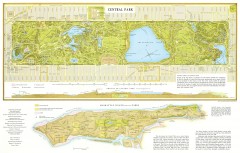
Central Park, New York Map
Central Park, New York map. A very detailed map with all roads, metro station and importand...
342 miles away
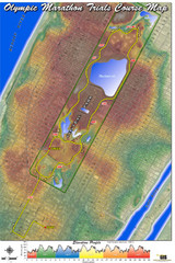
Olympic Trials Course Map
Elevation of the 2008 olympic trials marathon course in New York's Central Park.
342 miles away
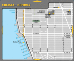
Chelsea Midtown New York City Map
342 miles away
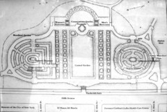
Central Park Conservatory Garden Map
Map of the Conservatory Garden in Central Park, New York City. Photo of outdoor map.
342 miles away

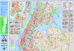
Central Park, New York City Bike Map
342 miles away
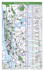
Green Markets in NYC Map
A map of all the green markets in the 5 boroughs of New York City.
342 miles away
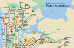
New York City Subway Map
Official MTA map of the NYC subway system... note not drawn to scale.
342 miles away
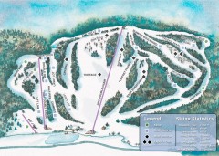
Suicide Six Ski Trail map
Ski trail map of Suicide Six ski area, owned by the Woodstock Inn in Woodstock, VT
342 miles away
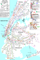
NYC Subway Map (unofficial)
Unofficial subway map of New York City. Created by SPUI.
342 miles away
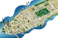
Manhattan Tourist Map
Simplified tourist map of Manhattan. Shows major NYC landmarks.
342 miles away
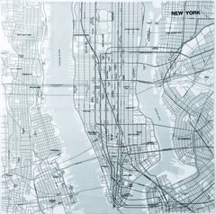
New York City Tourist Map
342 miles away

New York City Map
342 miles away
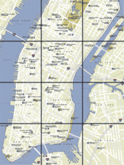
New York City, New York City Map
342 miles away
New York City Subway History Map
342 miles away
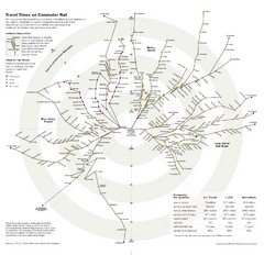
Travel Times on Commuter Trains in New York City...
Travel Times on Commuter Trains in the Greater New York Area
342 miles away

