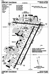
Newark Liberty International Airport Map
337 miles away
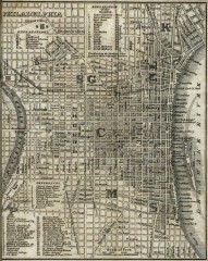
Antique map of Philadelphia from 1842
Antique map of "Philadelphia" from Tanner, H.S. The American Traveller; or Guide Through...
337 miles away
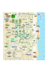
Historic Philadelphia, Pennsylvania Map
Map of historic area in Philadelphia, Pennsylvania, showing churches, museums, and other historical...
337 miles away
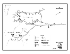
Allis State Park campground map
Campground map of Allis State Park in Vermont.
337 miles away
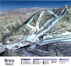
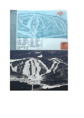
Bryce Resort Ski Trail Map
Trail map from Bryce Resort.
337 miles away

Glen Arbor MI Map
337 miles away
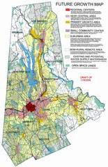
Danbury Regional Growth Map
Guide to future growth of Danbury, CT and surrounds
338 miles away

Glen Arbor MI walking map
338 miles away
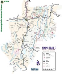
Randolph County Trail Map
Hiking trails map
338 miles away
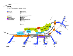
Philadelphia International Airport Terminal Map
Official Map of Philadelphia International Airport. Shows all terminals.
339 miles away
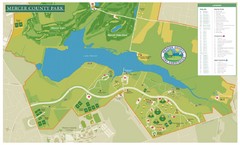
Mercer County Park Map
339 miles away
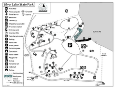
Silver Lake State Park Campground Map
Campground map of Silver Lake State Park in Vermont
339 miles away

Neshaminy State Park map
Detailed recreation map of Neshaminy State Park in Pennsylvania
339 miles away
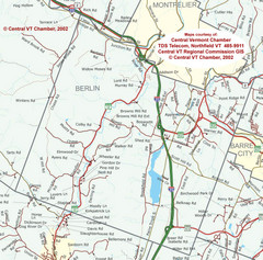
Berlin, Vermont Guide Map
339 miles away
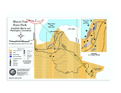
Mount Tom State Park trail map
Trail map of Mt. Tom State Park in Connecticut.
339 miles away
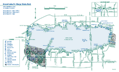
Grand Lake St. Marys State Park map
Detailed recreation map for Grand Lake St. Mary's State Park in Ohio
340 miles away
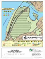
Inwood Hill Park Map
Park map of Inwood Hill Park in the Shorakapok Preserve, New York. 136 acres.
340 miles away
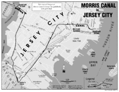
Jersey City Map
340 miles away
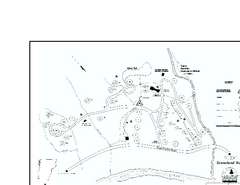
Townshend State Park Campground Map
Campground map of Townshend State Park in Vermont
340 miles away
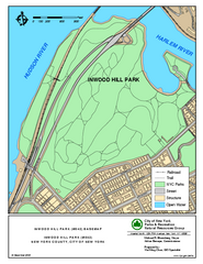
Inwood Hill Park Trail Map
Trail map of Inwood Hill Park located at the extreme northern tip of Manhattan. 136 acres.
340 miles away

Empire Michigan Map
340 miles away
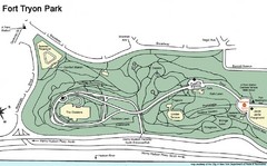
Fort Tyron Park Map
340 miles away
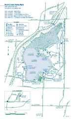
Buck Creek State Park map
Detailed recreation map for Buck Creek State Park in Ohio
340 miles away
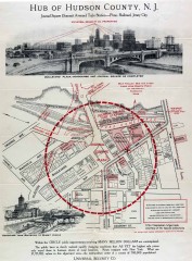
Antique map of Jersey City from 1925
Antique map of Jersey City, New Jersey from 1925.
340 miles away
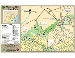
Alapocas Run State Park Map
Detailed map and clear legend for this nice state park.
340 miles away
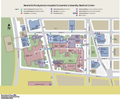
Columbia University Medical Center Map
340 miles away
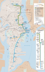
Hudson-Bergen Lightrail Map
Alternative transportation within the city.
341 miles away
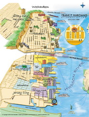
Jersey City, New Jersey City Map
Sketch of Jersey City and Hoboken, New Jersey
341 miles away
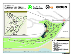
Highbridge Park mountain bike trail map
Mountain biking trail network opened in May 2007. Only mountain biking trails in Manhattan. 25...
341 miles away
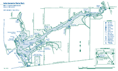
Lake Loramie State Park map
Detailed recreational map for Lake Loramie State Park in Ohio
341 miles away
Upper Riverside Park Map
Riverside Park Map, Visitor Information as well as streets, bus routes, places to jog and bike.
341 miles away
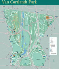
Van Cortlandt Park Trail Map
Trail map of Van Cortlandt Park in the Bronx. Covers 573 acres.
341 miles away

West Virginia Counties Map
341 miles away
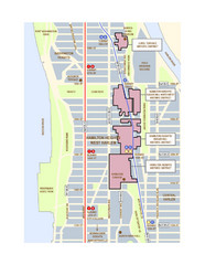
Hamilton Heights West Harlem Map
Hamilton Heights - West Harlem, New York City community map
341 miles away
Riverside Park Map
Map of Riverside Park, New York. Illustrates all recreational activities, trails, bus stops and...
341 miles away

Broadway Elevation Map
Illustrative section of Broadway, from 125th Street to 134th Street, looking east
341 miles away
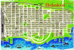
Hoboken Walking Tour map
Walking tour map of Hoboken, NJ. Shows points of interest.
341 miles away
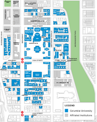
Columbia University Map
Campus map of Columbia University. All buildings shown.
341 miles away
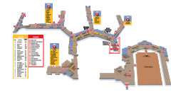
Baltimore Washington International Airport Map
341 miles away

