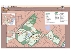
Bellevue State Park Map
Beautiful park with easy to read details.
336 miles away
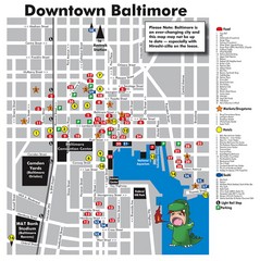
Downtown Baltimore Tourist Map
Map of Food, Hotels and Major Attractions surrouding the Baltimore Convention Center in Baltimore...
336 miles away
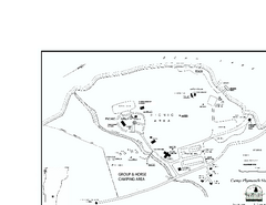
Camp Plymouth State Park map
Map of Camp Plymouth Park in Vermont.
336 miles away
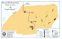
Dennis Hill State Park map
Trail map of Dennis Hill State Park in Connecticut.
336 miles away
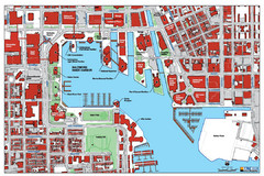
Baltimore Harbor Map
Guide to Baltimore, Maryland harbor
336 miles away
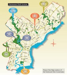
Fairmount Park System Map
336 miles away
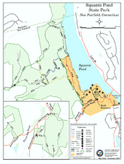
Squantz Pond State Park map
Trail and campground map for Squantz Pond State Park in Connecticut.
336 miles away
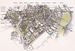
University of Pennsylvania 3D campus map
Aerial perspective of the UPenn campus. Shows street names but not building names. To view...
336 miles away
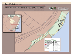
Fox Point State Park Map
Clear and simple state park map.
336 miles away
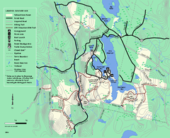
Tolland State Forest summer trail map
Summer use map for Tolland State Forest in Massachusetts.
336 miles away
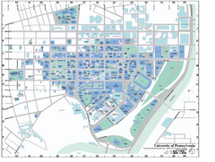
university of pennsylvania Map
336 miles away
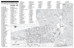
Penn State University Park Campus Map
336 miles away
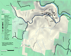
Mohawk Trail State Forest map
Map of the Mohawk Trail State Forest in Charlemont, Massachusetts.
336 miles away
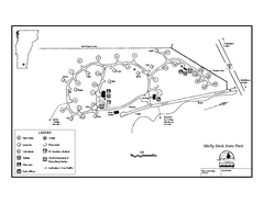
Molly Stark State Park Campground Map
Campground map for Molly State State Park in Vermont
336 miles away
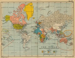
Colonial Posessions and Commercial Highways 1910...
Historical world map (1910) of various colonization and highway expansion
336 miles away
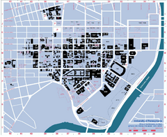
University of Pennsylvania Map
University of Pennsylvania Campus Map. All buildings shown.
336 miles away
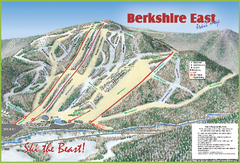
Berkshire East Ski Area Ski Trail Map
Trail map from Berkshire East Ski Area.
336 miles away
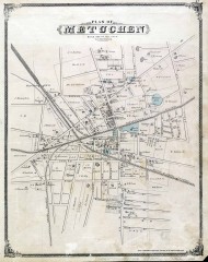
Antique map of Metuchen from 1876
Historic map of Metuchen, New Jersey from 1876
336 miles away
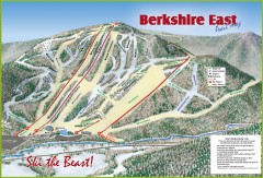
Berkshire East Ski Trail Map
Official ski trail map of Berkshire East ski area from the 2007-2008 season.
336 miles away
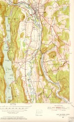
New Milford, Connecticut Map
New Milford, Connecticut topo map with roads, streets and buildings identified
337 miles away
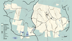
Kenneth Dubuque Memorial State Park trail map
Trail map of the Kenneth Dubuque state park conservation area in Massachusetts.
337 miles away
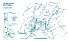
Lake Hope State Park map
Detailed recreation map for Lake Hope State Park in Ohio
337 miles away

Sleeping Bear Dunes National Lakeshore Map
337 miles away
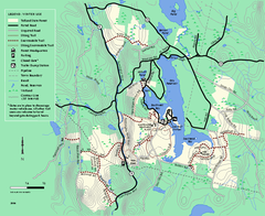
Tolland State Forest winter trail map
Winter usage trail map of the Tolland State Forest area in Massachusetts.
337 miles away
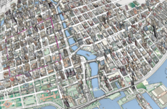
map a
337 miles away
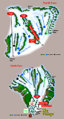
The Homestead Ski Trail Map
Trail map from The Homestead.
337 miles away
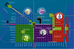
Philadelphia Tourist Map
337 miles away
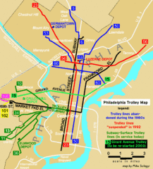
Philadelphia Tourist Map
337 miles away
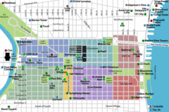
Philadelphia Tourist Map
337 miles away
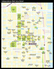
Independence Hall, Philadelphia Tourist Map
337 miles away
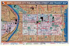
Philadelphia Tourist Map
337 miles away
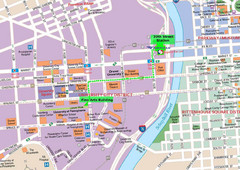
Philadelphia Tourist Map
337 miles away
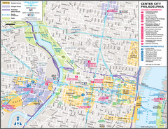
Philadelphia Tourist Map
337 miles away
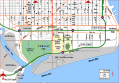
Philadelphia City Map
337 miles away
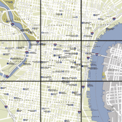
Philadelphia, Pennsylvania City Map
337 miles away
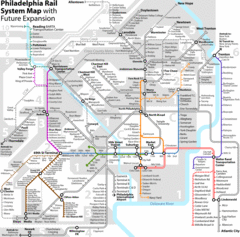
Philadelphia Rail System Map
Philadelphia Rail System Map Version 3.1 with future expansion.
337 miles away
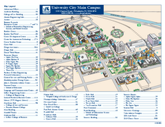
Drexel University Map
Drexel University Campus Map. All buildings shown.
337 miles away
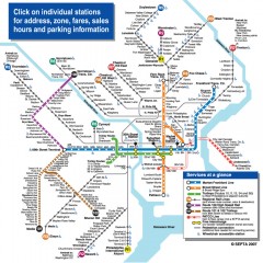
Philadelphia Rail System map
Official SEPTA map of the Philadelphia Rail System. Includes station addresses and fares, sales...
337 miles away
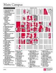
Temple University Map
Campus Map of Temple University. All buildings shown.
337 miles away
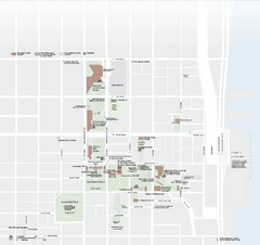
Independence National Historical Park Official Map
Official NPS map of Independence National Historical Park in Pennsylvania. Map shows all areas...
337 miles away

