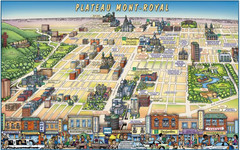
Plateau Mont-Royal Map
Pictorial view of Plateau Mont-Royal
313 miles away
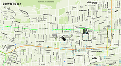
Downtown Montreal Map
Street map of central Montreal. Shows access to the metro and commuter train
313 miles away
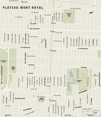
Plateau Mont Royal Map
313 miles away
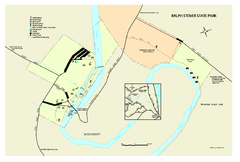
Ralph Stover State Park map
Detailed recreation map for Ralph Stover State Park in Pennsylvania
314 miles away
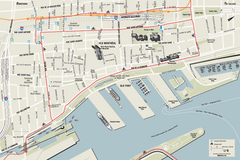
Old Montreal and Old Port Bike Map
Bike route map of Old Montreal and Old Port area
314 miles away
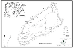
Knight Island State Park Campground Map
Map of Knight Island State Park in Vermont
314 miles away
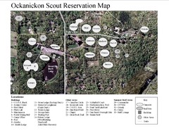
Camp Okanickon Scout Reservation Map
Location Map for Boy Scout Camp in Pennsylvania
314 miles away
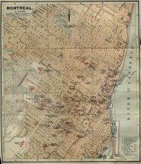
Antique map of Montreal from 1894
"Montreal" from Baedeker, Karl. The Dominion of Canada with Newfoundland and an Excursion...
314 miles away
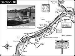
Ohio River at Marietta, OH and 8 miles downriver...
This is a page from the Ohio River Guidebook. The map shows important information for boaters and...
314 miles away
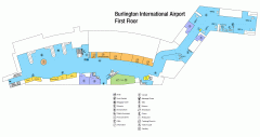
Burlington International Airport Terminal Map
Official Terminal Map of Burlington International Airport. All areas shown.
315 miles away
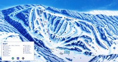
Canaan Valley Resort Ski Trail Map
Trail map from Canaan Valley Resort.
315 miles away
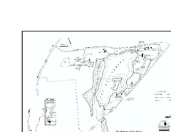
Shaftsbury State Park Map
Campground map of Shaftsbury State Park in Vermont.
315 miles away
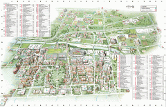
Ohio State University - main campus map
Map of main Columbus, Ohio campus of Ohio State University. 51,818 total students enrolled in 2006...
315 miles away

Peninsula Township Roads Map
Map of main roads in Peninsula Township
315 miles away
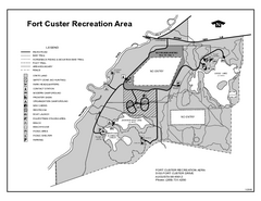
Fort Custer State Park, Michigan Site Map
315 miles away
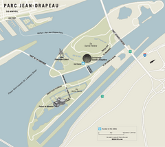
Parc Jean Drapeau Map
Park map of Parc Jean Drapeau in the St. Lawrence River, Montreal
315 miles away
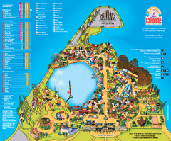
Six Flags La Ronde Theme Park Map
Official Park Map of Six Flags La Ronde Theme Park in Montreal, Quebec.
315 miles away

The Ohio State University Map
315 miles away
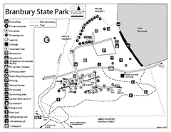
Branbury State Park map
Campground map of Branbury State Park in Vermont
316 miles away
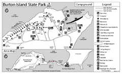
Burton Island State Park map
Campground map of Burton Island State Park in Vermont
316 miles away
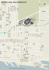
Hochelaga-Maisonneuve Map
316 miles away
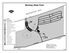
Brimley State Park, Michigan Site Map
316 miles away
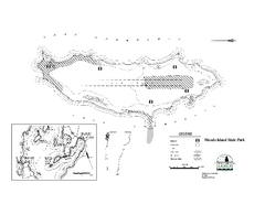
Woods Island State Park Campground Map
Campground map of Woods Island State Park in Vermont
316 miles away
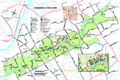
Evansburg State Park map
Detailed map of Evansburg State Park in Pennsylvania
316 miles away
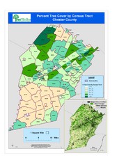
Chester County Tree Cover Map
Poster map of tree cover in Chester County, Pennsylvania
316 miles away
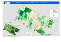
Montgomery County Tree Cover Map
Poster map of tree cover of Montgomery County, Pennsylvania
316 miles away
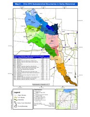
Ohio EPA Subwatersheds Boundaries in Darby...
Map shows watersheds by colors for West Central Ohio
317 miles away
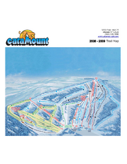
Catamount Ski Area Ski Trail Map
Trail map from Catamount Ski Area.
317 miles away
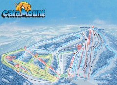
Catamount Ski Trail Map
Official ski trail map of Catamount ski area from the 2006-2007 season.
317 miles away
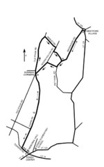
30K Race Course Map
Green Mountain Athletic Association Common to Common 30K Course Map in Essex Junction, VT
317 miles away
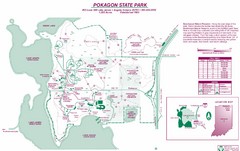
Pokagon State Park Map
Trail map of Pokagon State Park on Lake James in Angola, Indiana
317 miles away

Columbus, Ohio City Map
317 miles away
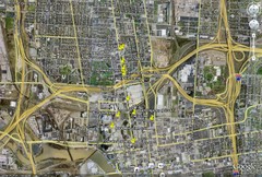
Restaurants in Columbus, Ohio Map
Local and chain restaurants in Columbus, Ohio
317 miles away
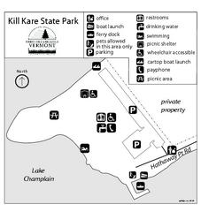
Kill Kare State Park map
Campground map of Kill Kare State park in Vermont
317 miles away
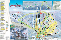
Jiminy Peak Resort Ski Trail Map
Trail map from Jiminy Peak Resort.
317 miles away
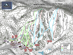
Caberfae Peaks Ski & Golf Resort Ski Trail Map
Trail map from Caberfae Peaks Ski & Golf Resort.
318 miles away
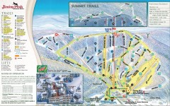
Jiminy Peak Ski Trail Map
Official ski trail map of Jiminy Peak ski area from the 2007-2008 season.
318 miles away
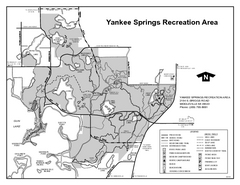
Yankee Springs Recreation Area, Michigan Site Map
318 miles away
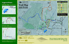
Equinox Preservation Trail map
Trail map of the Equinox Preservation Trust in Manchester, VT. The Equinox Preservation is over...
318 miles away

