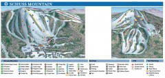
Shanty Creek Ski Trail Map
Official ski trail map of Shanty Creek ski area from the 2007-2008 season. Shows Schuss Mountain.
300 miles away
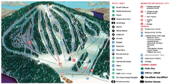
Belle Neige Ski Trail Map
Trail map from Belle Neige, which provides downhill skiing. This ski area has its own website.
300 miles away

Poets Walk Trail Map
Guide to Poet's Walk and Hudson River Overlook
301 miles away
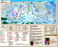
Boyne Highlands Ski Trail Map
Official ski trail map of Boyne Highlands ski area from the 2006-2007 season.
301 miles away
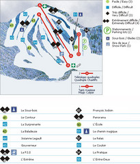
Le Chantecler Ski Trail Map
Trail map from Le Chantecler, which provides downhill skiing. This ski area has its own website.
301 miles away
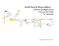
Amish Farm and House Route Map
Map showing directions to the Amish Farm and House with locations of key buildings and streets in...
301 miles away
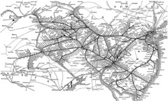
Reading Railroad System Map
Reading Railroad system map
301 miles away
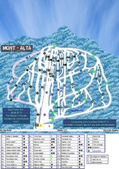
Mont Alta Ski Trail Map
Trail map from Mont Alta, which provides downhill skiing. This ski area has its own website.
301 miles away
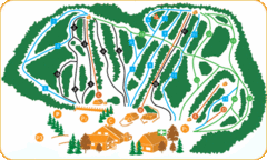
Vallee Bleue Ski Trail Map
Trail map from Vallee Bleue, which provides downhill skiing. This ski area has its own website.
301 miles away
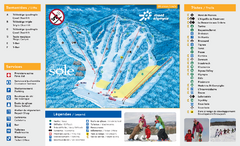
Mont Olympia Ski Trail Map
Trail map from Mont Olympia, which provides downhill skiing. This ski area has its own website.
301 miles away
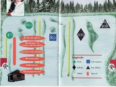
Les Cotes 40/80 Ski Trail Map
Trail map from Les Cotes 40/80.
302 miles away
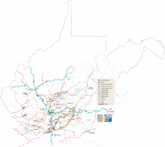
Southern West Virginia Tourist Map
Cities in the southern part of West Virginia.
302 miles away
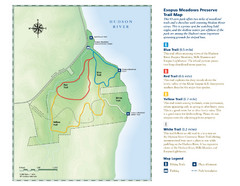
Esopus Meadows Preserve Trail Map
Trail map of Esopus Meadows Preserve park on the Hudson River.
302 miles away
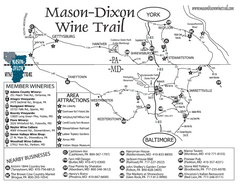
Mason-Dixon Wine Trail Map
Map of the Mason-Dixon Wine Trail, showing area wineries, historical sites, and lodging.
302 miles away
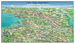
The West-Island Map
Panoramic illustration of High tech business in Montreal's West-Island
302 miles away
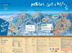
Mountain Creek Ski Trail Map
Official ski trail map of Mountain Creek ski area from the 2007-2008 season. (formerly Vernon...
303 miles away
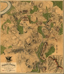
Antietam Battlefield Map
Map of the battlefield of Antietam/Sharpsburg. Shows Union and "Rebel" forces on...
303 miles away
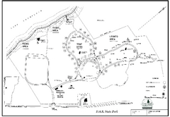
D.A.R. State Park map
Map of D.A.R. State park in Vermont
303 miles away

Mountain Creek South Ski Trail Map
Trail map from Mountain Creek.
303 miles away
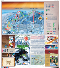
Mountain Creek North Ski Trail Map
Trail map from Mountain Creek.
303 miles away
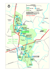
Antietam National Battlefield Official Map
Official NPS map of Antietam National Battlefield in Maryland. Open all year.
303 miles away
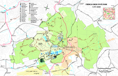
French Creek State Park map
Detailed recreation map for French Creek State Park in Pennsylvania
303 miles away
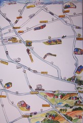
Handrawn Lancaster County Map
Guide to Amish country in Pennsylvania
304 miles away
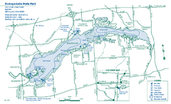
Buckeye Lake State Park map
Detailed recreation map for the Buckeye Lake area in Ohio
304 miles away

Hidden Valley Ski Trail Map
Trail map from Hidden Valley.
304 miles away
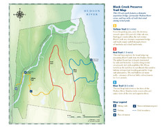
Black Creek Trail Preserve Map
Trail map of Black Creek Preserve on the Hudson River in New York. Shows Yellow Trail, Red Trail...
304 miles away
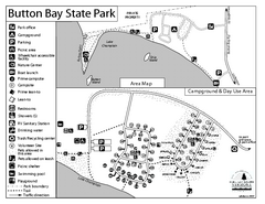
Button Bay State Park Campground Map
Campground map of Button Bay State Park in Vermont
305 miles away
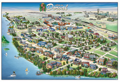
Pictorial map of Dorval
306 miles away
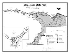
Wilderness State Park, Michigan Site Map
306 miles away
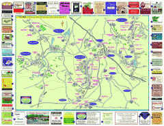
Columbia County - Austerlitz, Canaan, Chatham...
Tourist map of Columbia County including towns of Austerlitz, Canaan, Chatham, East Chatham Ghent...
306 miles away
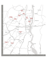
Shawangunk Wine Trail Map
Map of the Shawangunk Wine Trail on the Hudson River in New York. Shows all vineyards and wineries...
306 miles away
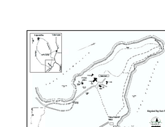
Kingsland Bay State Park Map
Campground map for Kingsland Bay State Park in Vermont
307 miles away
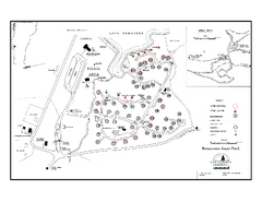
Bomoseen State Park map
Campground map of Bomoseen State Park in Vermont
307 miles away

Montreal Metro Map
308 miles away

Nockamixon State Park Map
Detailed recreation map for Nockamixon State Park in Pennsylvania.
308 miles away
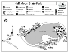
Half Moon State Park Campground Map
Campground map of Half Moon State Park in Vermont
309 miles away

Delaware Canal State Park map
Detailed map of Delaware Canal State Park in Pennsylvania. Long dimension.
309 miles away
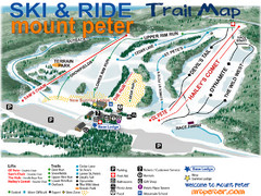
Mt. Peter Ski Area Ski Trail Map
Trail map from Mt. Peter Ski Area.
309 miles away
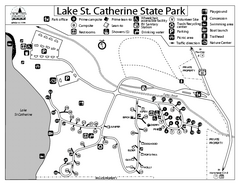
Lake St. Catherine State Park Campground Map
Campground map of St. Catherine State Park in Vermont
310 miles away

