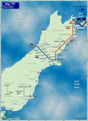
South Island Rail Map
Rail map of transit system throughout the South Island
1193 miles away
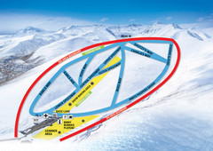
Roundhill Ski Trail Map
Trail map from Roundhill.
1201 miles away
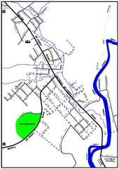
Mount Perry Tourist Map
Tourist map of town of Mount Perry, Australia
1207 miles away
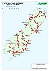
South Island State Highway Map
Map of state highway system throughout the South Island
1212 miles away
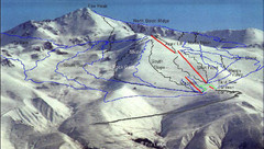
Fox Peak Ski Trail Map
Trail map from Fox Peak.
1217 miles away
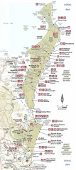
Campground Map Great Sandy National Park
1224 miles away
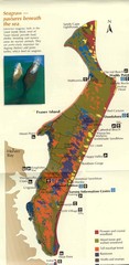
Fraser Island Map
Shows vegetation on Fraser Island, Australia the largest sand island in the world.
1224 miles away
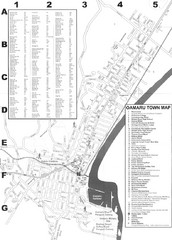
Oamaru Tourist Map
Tourist map of Oamaru, New Zealand. Has street index and shows points of interest.
1224 miles away
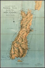
1880 New Zealand Map
1225 miles away

Fraser Island Map
1234 miles away
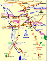
Banana Shire Tourist Map
Tourist map of Banana Shire region of Australia. Includes Biloela and Banana, Australia
1244 miles away
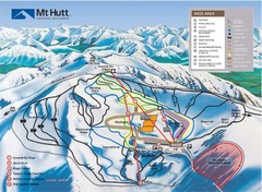
Mt. Hutt Ski Trail Map
Trail map from Mt. Hutt.
1260 miles away
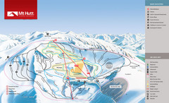
Mount Hutt Trail Map
Ski trail map for Mt. Hutt
1260 miles away
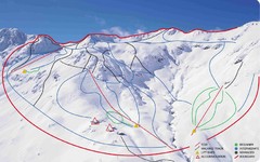
Temple Basin Ski Trail Map
Ski trail map of Temple Basin ski area in New Zealand
1260 miles away
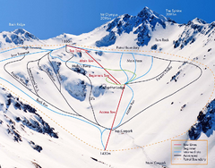
Mount Olympus Trail Map
Ski trail map of Mt. Olympus
1261 miles away
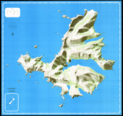
Campbell Island Map
1263 miles away
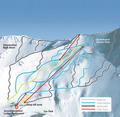
Mt. Cheeseman Ski Trail Map
Trail map from Mt. Cheeseman.
1263 miles away
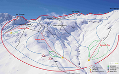
Temple Basin Trail Map
Ski trail map of Temple Basin Mountain
1266 miles away
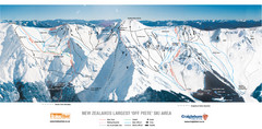
Broken River Trail Map
1267 miles away
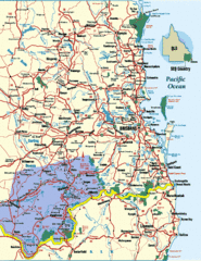
South East Queensland Map
A detailed map of the South East portion of Queensland, Australia, including Brisbane.
1302 miles away
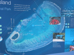
Lady Musgrave Island Map
Photo of map showing isliand and Lady Musgrave Reef
1304 miles away
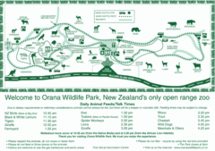
Orana Wildlife Park Map
1304 miles away
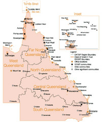
Queensland Map
Map of Queensland and Torres Strait islands
1307 miles away
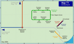
Christchurch Rail Map
Rail map of Christchurch local tramway system
1310 miles away
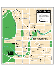
Christchurch Street Map
Street map of Christchurch
1310 miles away
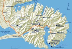
Banks Peninsula Map
Map of Banks Peninsula, with detail of bays and reserves
1324 miles away
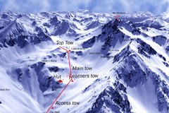
Mt. Olympus Ski Trail Map
Trail map from Mt. Olympus.
1326 miles away
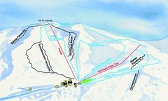
Hammer Springs Ski Trail Map
Trail map from Hammer Springs.
1328 miles away
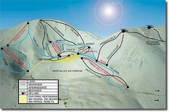
Mt. Lyford Ski Trail Map
Trail map from Mt. Lyford.
1331 miles away
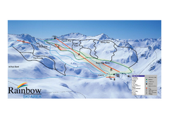
Rainbow Trail Map
Ski trail map of Rainbow ski area
1336 miles away
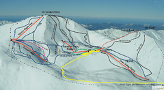
Mount Lyford Trail Map
Ski trail map of Mt. Lyford
1344 miles away
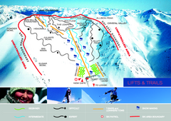
Porters Ski Trail Map
Trail map from Porters.
1347 miles away
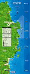
Abel Tasman National Park Map
1355 miles away
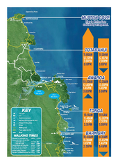
Abel Tasman National Park Map
Trail map
1357 miles away
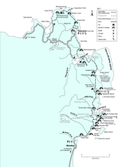
Abel Tasman Coastal Track Map
Trail map of the Abel Tasman Coastal Track
1358 miles away
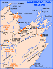
Nelson/Marlborough Map
Map of Nelson/Marlborough region with detail of towns and surrounding islands
1366 miles away
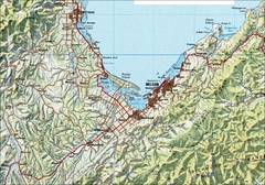
Nelson Topo Map
Shaded relief topo map of Nelson, New Zealand
1366 miles away
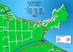
Kaikoura Town Map
1372 miles away
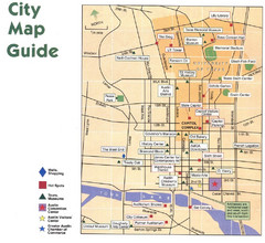
Austin, Texas Tourist Map
1383 miles away
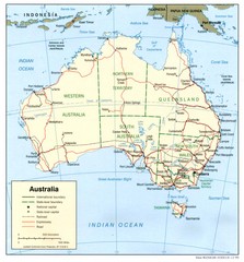
Australia Country Map
1383 miles away

