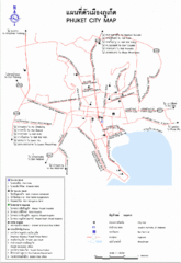
Phuket City Province Map
4621 miles away
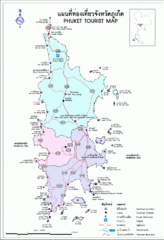
Phuket Tourist Map
Phuket, Thailand Tourist Map showing cities, tourist attractions, and roads.
4621 miles away
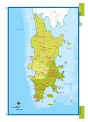
Phuket, Thailand Map
4622 miles away
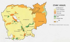
Cambodia Ethnic Groups Map
Map of Cambodia with detail of ethnic group distributions
4622 miles away
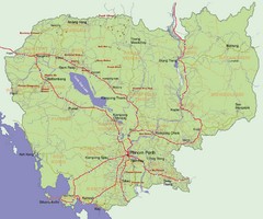
Cambodia Map
4622 miles away
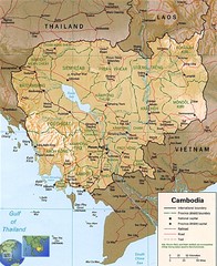
Cambodia Map
Map of Cambodia showing cities, roads, railroads, mountains and borders.
4622 miles away
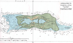
Palmyra atoll Map
4622 miles away
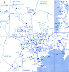
Phuket Map
Map of Phuket, Thailand's largest island. In Thai.
4623 miles away

Rotanak Kiri Province Cambodia Road Map
4624 miles away
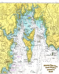
Phang Nga Bay Thailand Map
Map of Phang Nga Bay, Phuket, Thailand showing the water depths and land elevations.
4628 miles away
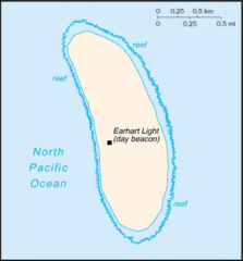
Howland Island Tourist Map
4634 miles away
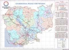
Cambodian Proviencial Road Map
Cambodian road map. This is the index map to each province has a more detailed map. Refer to the...
4637 miles away
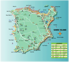
Samui Tourist Map
Tourist map of island of Samui, Thailand. Shows points of interest.
4637 miles away
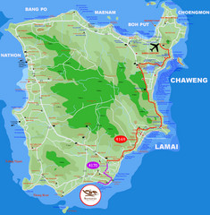
Ko Samui Hotel Map
4637 miles away
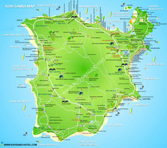
Ko Samui Tourist Map
4637 miles away
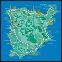
Koh Samui Map
4637 miles away
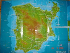
Ko Samui Tourist Map
Tourist map of island of Koh Samui, Thailand. From photo with pen on top.
4637 miles away
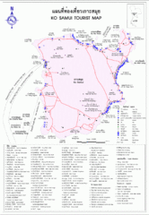
Koh Samui Island Tourist Map
4637 miles away
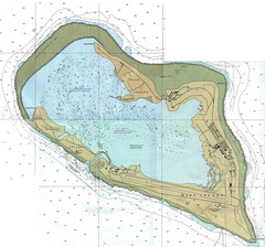
Wake Island Map
Nautical chart of Wake Island
4638 miles away
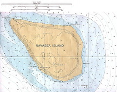
Navassa Island Map
4638 miles away
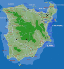
Koh Samui Island Map
Guide to Koh Samui hotels, beaches and temples
4638 miles away
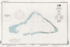
Kingman reef Map
4638 miles away
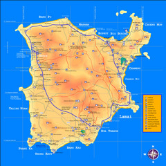
Samui Tourist Map
4639 miles away
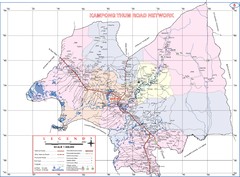
Kampong Thum Province Cambodia Road Map
4640 miles away

Koh Kong Cambodia City Tourist Map
Otto's is on Street Eight in first block. Street Six also has Hotels and Guest Houses. Real...
4641 miles away
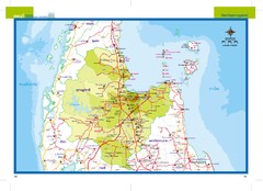
Suratthani, Thailand Map
4641 miles away
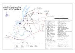
Surat Thani Tourist Map
Tourist map of Surat Thani, Thailand. Shows hotels, restaurants, and other points of interest. In...
4644 miles away

Stueng Traeng Province Cambodia Road Map
4645 miles away
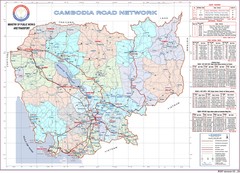
Cambodian National Road Map (also Index to...
Searching the red names on this map will help you find each province's road map.
4646 miles away
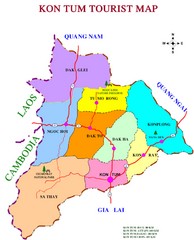
Kon Tum Road Map
Road map of Kon Tum, Vietnam region. (map says tourist map but more a road map)
4647 miles away
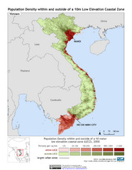
Vietnam 10m LECZ and Population Density Map
Low Elevation Coastal Zone and population desnsity within and outside of a 10 meter low evelevation...
4649 miles away
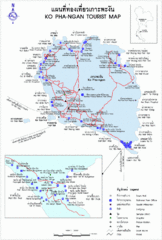
Koh Pha-Ngan Province Guide Map
4649 miles away
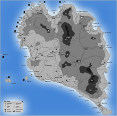
Phangan Island Tourist Map
Tourist map of Phangan Island, Thailand
4650 miles away
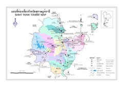
Surat Thani Map
Reference map of Surat Thani, Thailand. Shows roads and other major features. In Thai and English.
4651 miles away
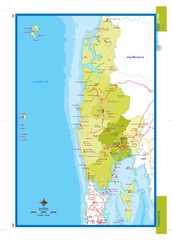
Phangnga, Thailand Map
4655 miles away
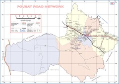
Pousat Province Cambodia Road Map ( Pursat...
4655 miles away
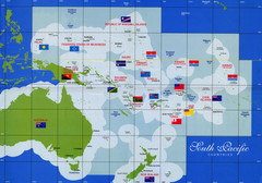
South Pacific Countries Map
Shows countries of the South Pacific with flags.
4655 miles away
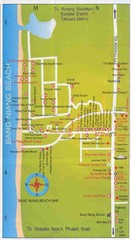
Bang Niang Beach Map
4661 miles away

