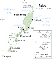
Palau Map
Guide to the country of Palau, the world's youngest and smallest sovereign state, previously...
3508 miles away
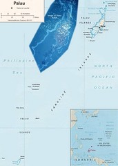
Palau Political Map
Guide to the island nation of Palau
3508 miles away

Palau Koror island Map
3511 miles away
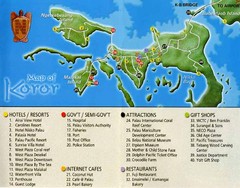
Koror Island Tourist Map
Tourist map of Koror island of Palau
3511 miles away

Palau airport vicinity Map
3512 miles away
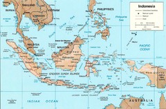
Indonesia Island Map
3514 miles away
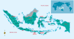
Indonesia Overview map
Shows regions of Indonesia and inset map shows Indonesia in context of rest of world.
3514 miles away
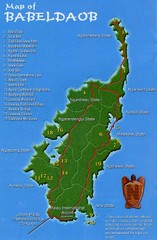
Babeldoab Map
Map of Babeldoab island of the Palau Islands
3521 miles away
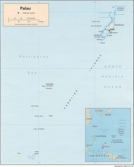
Palau Islands Map
3521 miles away
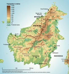
Borneo Protected Areas Map
Physical map of island of Borneo, Indonesia showing protected areas. Shows topography in meters.
3567 miles away

Kerguelen Island land use Map
3579 miles away
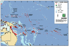
East Asian Pacific Ocean Map
Map of the Pacific Ocean surrounding East Asian Islands from the Solomon Islands to USA Hawaii.
3592 miles away
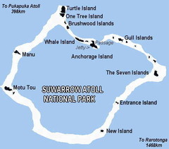
Suwarrow atoll National Park Map
3592 miles away

Mariana Trench Map
3593 miles away
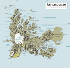
French Southern Territories Map
Physical map of French Southern and Antarctic Lands.
3594 miles away

Kerguelen Island soil Map
3611 miles away

Kerguelen Island topo Map
3612 miles away

Kerguelen Island detail Map
3618 miles away

Jaliut atoll Map
3628 miles away
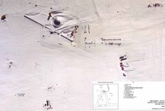
Amundsen Scott South Pole Station Aerial Map
Aerial photo map of the US Amundsen Scott South Pole Station at the South Pole, Antarctica
3630 miles away

South Keeling islands Map
3633 miles away

Cocos Islands Map
3634 miles away
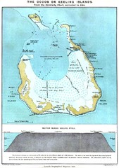
Cocos Islands Map
3634 miles away
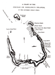
1840 Cocos (Keeling) Islands Map
1840 Guide to the Cocos (Keeling) Islands, a territory of Australia in the Indian Ocean
3634 miles away
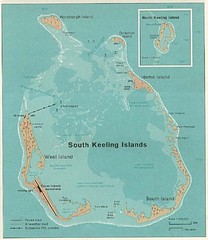
South Keeling (Cocos) Island Tourist Map
3634 miles away
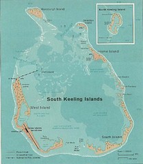
Cocos (Keeling) Islands Map
Guide to the Cocos (Keeling) Islands, a territory of Australia. They contain 2 atolls and 27 coral...
3635 miles away
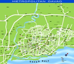
Davao Tourist Map
Tourist map of city of Davao, Phillipines
3657 miles away
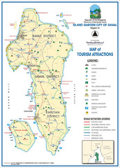
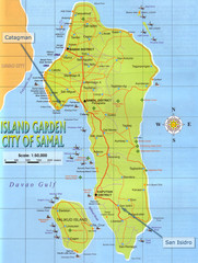
Island Garden City of Samal Tourist Map
Places of interest.
3657 miles away
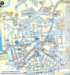
Davao City Map
Tourist street map of Davao City
3658 miles away
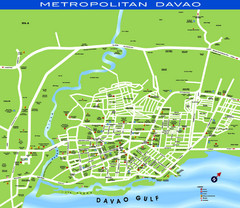
Davao City Map
3658 miles away
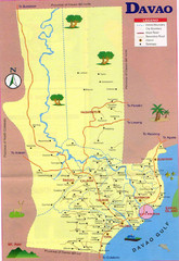
Davao Tourist Map
3666 miles away
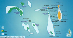
Mataking Island Diving Map
Mataking is a private island next to Sipadan, north of Mabul.
3675 miles away
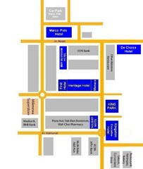
Tawau Hotel Map
3688 miles away
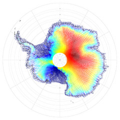
Antarctica Land and Ice Elevation Map
The colors on the map above represent ICESat’s measurements of Antarctica’s topography...
3694 miles away
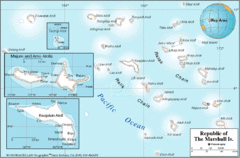
Marshall Islands Map
3695 miles away
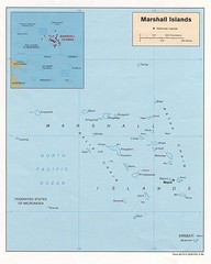
Marshall Islands Map
Guide to the island country of Marshall Islands
3704 miles away
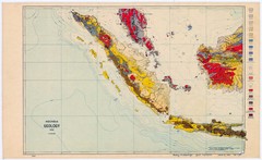
Indonesia Geology Map
Geologic map of Indonesia, 1932
3713 miles away


