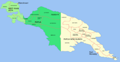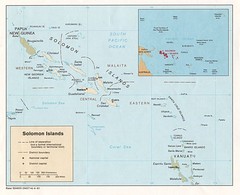
Solomon Islands Map
2431 miles away
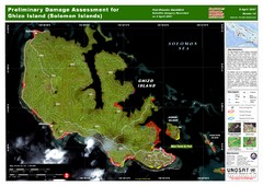
Ghizo Island Damage Map
Solomon Islands: Preliminary Damage Assessment for Ghizo Island (as of 8 Apr 2007)
2436 miles away
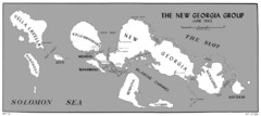
New Georgia Islands Map
2437 miles away
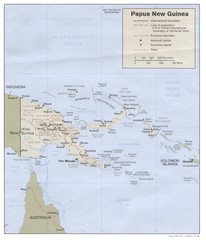
Papua New Guinea Map
2460 miles away
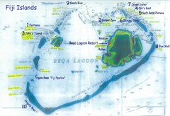
Beqa Island dive sites Map
2468 miles away
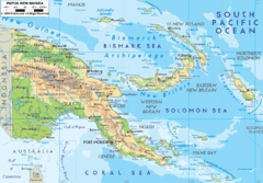
Papua New Guinea physical Map
2485 miles away
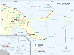
Papua New Guinea Map
2485 miles away
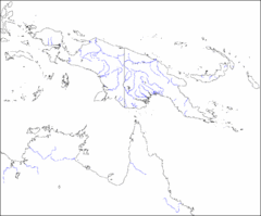
New Guinea Map
Regional Map of the Island of New
2485 miles away
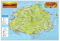
Viti Levu Fiji Tourist Map
2491 miles away
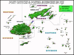
Fija Postal Locations Map
2491 miles away
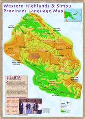
Western Highlands language Map
2493 miles away
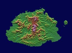
Fiji topographic Map
2501 miles away
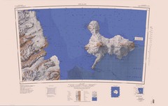
Ross Island Topo Map
Topo map of Ross Island, Antarctica. Shows US Mcmurdo Station, New Zealand Scott Base and volcanic...
2505 miles away
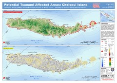
Tunami Affected Areas of Choiseul Island Map
The map illustrates the areas 10m and below potentially affected by the tsunami on the coast of...
2508 miles away
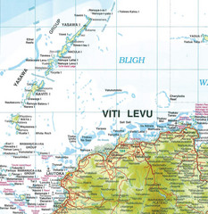
Yasawa Islands Map
Map showing the Yasawa Islands, a chain of 16 large volcanic islands located about 35km off the...
2510 miles away
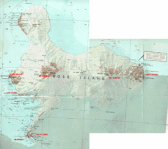
Ross Island Map
Topo map of Ross Island, home of the US McMurdo Station, Mt. Erebus, Mt. Terror, Cape Evans, Cape...
2523 miles away
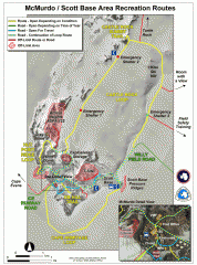
McMurdo and Scott Base Area Recreation Route Map
Shows roads around McMurdo Station (US) and Scott Base (New Zealand) Antarctic research stations on...
2524 miles away
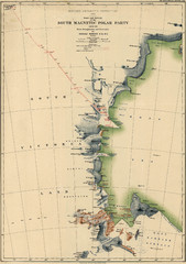
Map of Shackleton’s 1907-1909 Antarctic...
Eric Stewart Marshall's map of Shackleton's "Nimrod" expedition of 1907-09.
2533 miles away
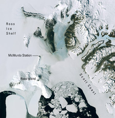
Ross Island McMurdo Station Area Landsat Map
Landsat mosaic map of the Ross Island / Ross Ice Shelf / U.S. McMurdo Station area
2535 miles away
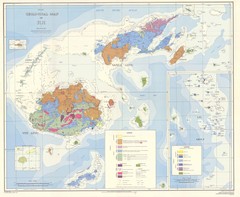
Fiji Geological Map
Geological map of Fiji islands. First edition.
2538 miles away
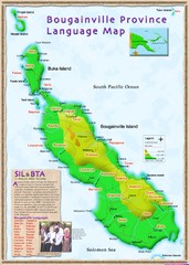
Bougainville Province language Map
2546 miles away
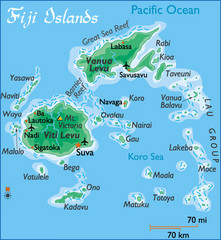
Fiji Islands Map
2547 miles away
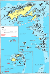
Fiji Islands Map
2554 miles away
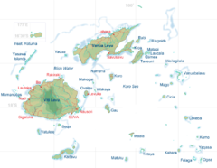
Fiji Islands Map
2568 miles away
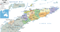
East Timor political Map
2618 miles away
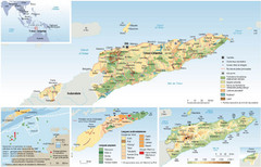
East Timor Map
Four part map shows biomes, offshore Kelp oil deposits, languages, and topology of East Timor
2633 miles away
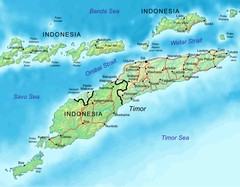
East Timor Map
2634 miles away
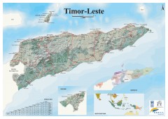
East Timor Relief Map
Shaded relief map of East Timor. Inset map shows location in Southeast Asia. Additional inset...
2634 miles away
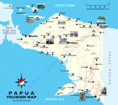
Papua Tourist Map
Tourist map of Papua, Indonesia. Shows photos of some locations.
2635 miles away
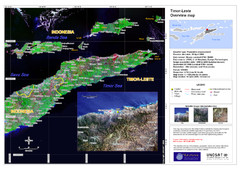
Timor-Leste map
2636 miles away
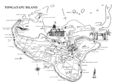
Tongatapu Island Map
2636 miles away
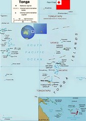
Tonga Islands Map
2636 miles away
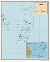
Tonga Islands Map
2636 miles away
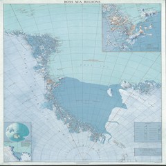
Ross Sea Regions Map
Physical relief map of the Ross Sea regions. Shows Victoria Land, Ross Sea, McMurdo Sound, Ross Ice...
2650 miles away
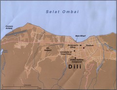
Dili Map
2658 miles away
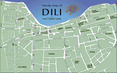
Dili Street Map
Street map of Dili, the capital of East Timor
2658 miles away
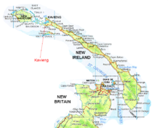
New Ireland and Kavieng Map
2684 miles away
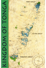
Tonga Map
Overview map of kingdom of Tonga in the South Pacific with bathymetric ocean elevations
2706 miles away
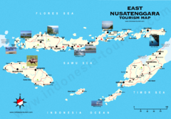
East Nusatenggara Tourist Map
Tourist map of East Nusatenggara, Indonesia. Shows some photos.
2717 miles away

