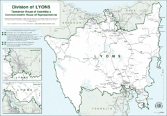
Lyons Political Divisions Map
0 miles away
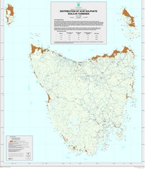
Tasmanian Soil Map
Distribution of Acid Sulphate Soils in Tasmania
31 miles away
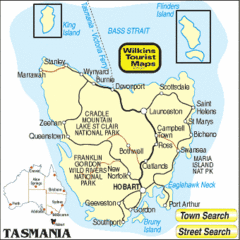
Tasmania Tourist Map
44 miles away
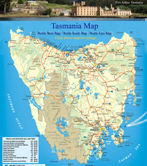
Tasmania Map
Detailed map of island of Tasmania, Australia. Shows National Parks. Scanned.
44 miles away
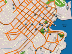
Hobart Hotel Map
58 miles away
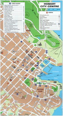
Hobart Tourist Map
Tourist map of the city center of Hobart, Tasmania. Shows tourist features and services.
58 miles away
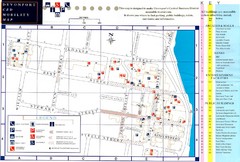
Downtown Devonport Mobility Map
Devonport City Map that is designed to assist disabled people navigate the Devonport central...
72 miles away
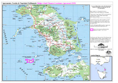
Flinders Island Map
Shows badger island financial assistance agreement 2000. Also shows Cape Barren Island
156 miles away
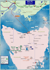
Tasmania Rail Map
Map of long-distance rail system from Melbourne to Tasmania
158 miles away
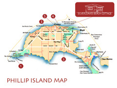
Phillip Island, Australia Beach Map
264 miles away
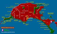
Phillip Island Tourist Map
Places of interest.
266 miles away
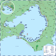
Port Phillip Bay Tourist Map
Tourist map of Port Phillip Bay. Shows points of interest.
297 miles away
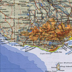
Great Ocean Road, Australia Tourist Road Map
A road map of Great Ocean Road in Southern Australia
299 miles away
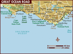
Great Ocean Road, Australia Tourist Map
A map of Great Ocean Road in Southern Australia
299 miles away
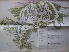
Mount Baw Baw Ski Trail Map
Trail map from Mount Baw Baw.
301 miles away
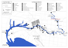
Yarra River Map
Map of Yarra River in Melbourne, Australia shows landings and landmarks.
315 miles away
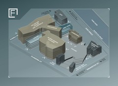
Federation Square Map
Map of Fed Square, Melbourne, Australia. Shows 3D views of buildings.
315 miles away
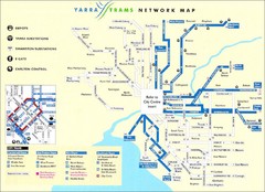
Melbourne Tram Map
Map of Melbourne tram system
315 miles away
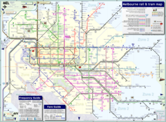
Melbourne Train & Tram Map
Map of Melbourne public transit
315 miles away
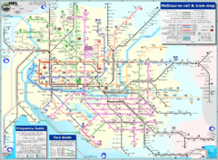
Melbourne Rail and Tram Map
Transportation in Melbourne
315 miles away
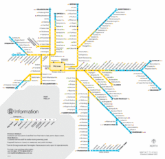
Melbourne Train Map
315 miles away
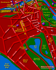
Melbourne Hotel Map
315 miles away
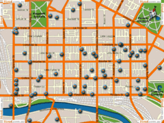
Melbourne Hotel Map
315 miles away
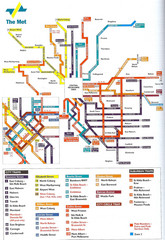
Melbourne Public Transportation Map
315 miles away
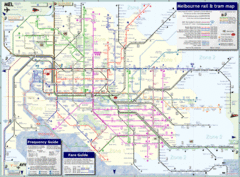
Melbourne, Australia Public Transportation Map
A detailed public transportation map of Melbourne, Australia.
315 miles away
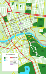
Central Melbourne, Australia Tourist Map
A map of landmarks and main roads in central Melbourne.
315 miles away
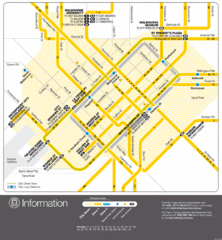
Melbourne, Australia Public Transportation Map
A map of tram service in Melbourne.
315 miles away
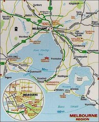
Greater and Central Melbourne, Australia Tourist...
315 miles away
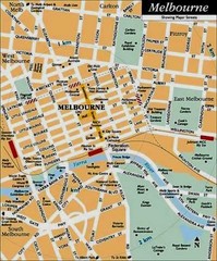
Central Melbourne, Australia Tourist Map
315 miles away
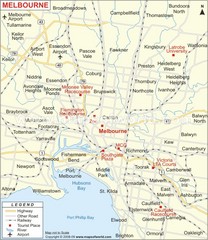
Greater Melbourne, Australia Region Map
315 miles away
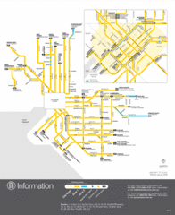
Melbourne Tram Map
315 miles away
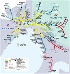
Melbourne Rail Map
Map of Melbourne rail system
315 miles away
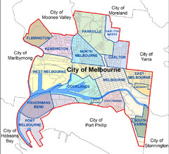
City of Melbourne Australia Boundary Map
Boundary map showing the suburbs of Melbourne, Australia. No street level detail.
315 miles away
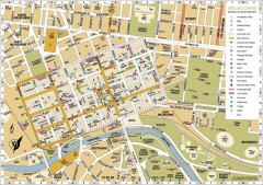
Melbourne Central District Tourist Map
Shows city of Melbourne Central District. Shows hotels, parking, trains stations, shopping/cafes...
315 miles away
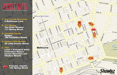
Downtown Melbourne Restaurant Map
315 miles away
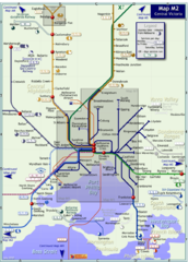
Melbourne Train Map
This map covers the region in the central part of the State of Victoria surrounding the city of...
316 miles away
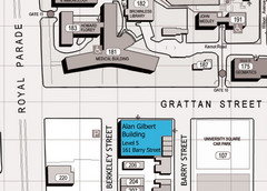
Alan Gilbert Bldg, University of Melbourne...
Map showing the location of the Alan Gilbert Building at the University of Melbourne, Australia.
316 miles away
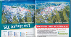
Mount Buller Ski Trail Map
Trail map from Mount Buller.
347 miles away
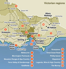
Victoria Map
Map of Victoria region with detail of districts
352 miles away

