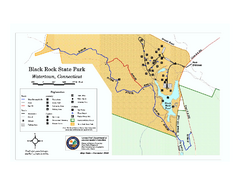
Black Rock State Park trail map
Trail map of Black Rock State Park in Connecticut.
40 miles away
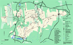
Mount Holyoke Range State Park Map
Trail map of Holyoke Range State Park.
40 miles away
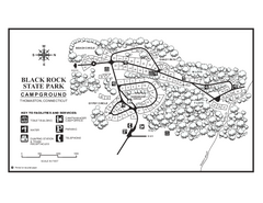
Black Rock Campground map
Map of the Campgrounds in Black Rock State Park.
40 miles away
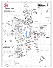
University of Massachusetts - Amherst Map
Campus Map of the University of Massachusetts - Amherst. All buildings shown.
41 miles away
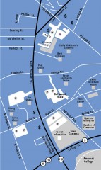
Downtown Amherst, Massachusetts Map
Tourist map of downtown Amherst, Massachusetts, showing attractions, government buildings, atms...
41 miles away
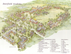
Deerfield Academy Campus Map
Shows buildings and facilities of Deerfield Academy. Scanned.
41 miles away
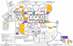
New York State University Uptown Campus Map
Map of the NYS University Campus, including all buildings, streets, and Visitors Parking...
42 miles away
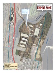
Green Island Map
Aerial town map of Green Island, New York on the Hudson River
42 miles away
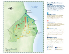
Esopus Meadows Preserve Trail Map
Trail map of Esopus Meadows Preserve park on the Hudson River.
42 miles away
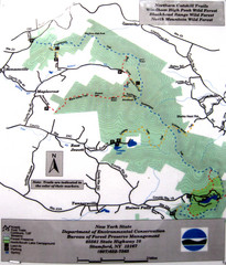
Northern Catskill Trail Map
Trail map shows hiking trails in the northern Catskills of New York. Shows trails in Windham High...
43 miles away
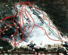
Woodbury Ski Area Ski Trail Map
Trail map from Woodbury Ski Area, which provides downhill, night, nordic, and terrain park skiing...
44 miles away
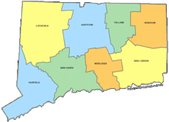
Connecticut Counties Map
44 miles away
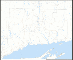
Connecticut Zip Code Map
Check out this Zip code map and every other state and county zip code map zipcodeguy.com.
44 miles away
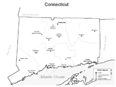
Conneticut Airports Map
44 miles away
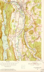
New Milford, Connecticut Map
New Milford, Connecticut topo map with roads, streets and buildings identified
44 miles away
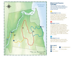
Black Creek Trail Preserve Map
Trail map of Black Creek Preserve on the Hudson River in New York. Shows Yellow Trail, Red Trail...
44 miles away

Wadsworth Athenium Museum Location Map
Wadsworth Athenium visitor location map with locations of major buildings, streets, parks, and...
45 miles away
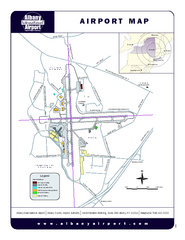
Albany International Airport Map
Official Map of the Albany International Airport in New York. Shows all terminals.
45 miles away
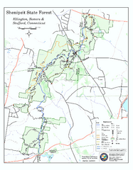
Trail map of Shenipsit State Forest
Trail map of Shenipsit State Forest in Connecticut.
46 miles away
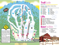
Mt. Southington Ski Area Ski Trail Map
Trail map from Mt. Southington Ski Area, which provides downhill, night, and terrain park skiing...
48 miles away
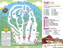
Mount Southington Ski Trail Map
Official ski trail map of Mount Southington ski area from the 2007-2008 season.
48 miles away
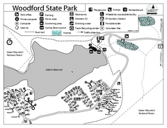
Woodford State Park Campground Map
Campground map for Woodford State Park in Vermont
48 miles away
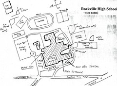
Rockville High School Map
Hand-drawn map of Rockville High School includes all buildings, Parking Lots, and sports fields.
48 miles away
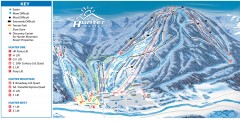
Hunter Mountain ski trail map
Official ski trail map of Hunter Mountain ski area from the 2006-2007 season.
48 miles away
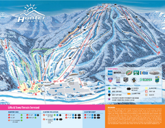
Hunter Mountain Ski Bowl Ski Trail Map
Trail map from Hunter Mountain Ski Bowl.
48 miles away
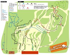
Hunter Mountain Bike Park Map
Map of bike trails in park
49 miles away
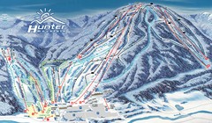
Hunter Mountain Trail Map
Ski trail map
49 miles away
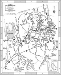
Middlebury, Connecticut Map
49 miles away
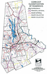
Connecticut Roadway Classification Map
49 miles away
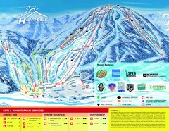
Hunter Mountain Trail Map
49 miles away

Palmer Motorsports Park Map
Track Map for Proposed Palmer Motorsports Park
50 miles away
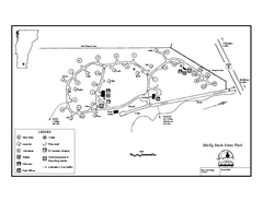
Molly Stark State Park Campground Map
Campground map for Molly State State Park in Vermont
50 miles away
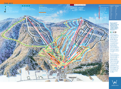
Windham Mountain Ski Trail Map
Trail map from Windham Mountain.
50 miles away
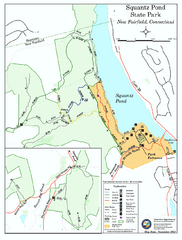
Squantz Pond State Park map
Trail and campground map for Squantz Pond State Park in Connecticut.
50 miles away
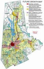
Danbury Regional Growth Map
Guide to future growth of Danbury, CT and surrounds
51 miles away
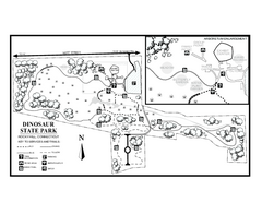
Dinosaur State Park map
Trail map of Dinosaur State Park in Connecticut.
51 miles away
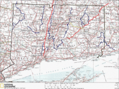
Connecticut Long Distance Trails Map
A map of long distance trails throughout Connecticut. Go to the website below for detailed trail...
51 miles away
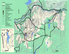
Wendell State Forest trail map
Trail map of Wendell State Forest in Massachusetts.
51 miles away
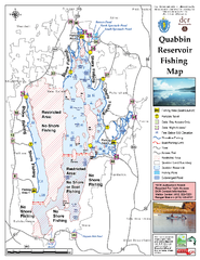
Quabbin Reservoir Fishing Map
Fishing access map of Quabbin Reservoir. Shows all ponds and submerged ponds.
52 miles away
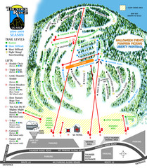
Thunder Ridge Ski Trail Map
Trail map from Thunder Ridge.
52 miles away

