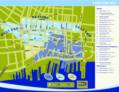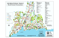
South Central Connecticut Recreational Trail Map
Map of South Central Connecticut showing all recreational trails and open spaces.
112 miles away
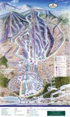
Haystack Club Ski Trail map
Official ski trail map of Haystack ski area from the 2006-2007 season.
112 miles away
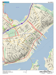
Portland, Maine City Map
112 miles away
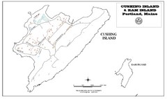
Cushing Island Map
Also shows Ram Island
113 miles away
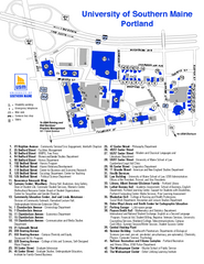
University of Southern Maine - Portland Map
113 miles away
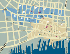
Portland, Maine Tourist Map
113 miles away
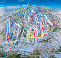
Mount Snow Ski Trail Map - main face
Trail map of main face of Mt Snow ski area near Wilmington, Vermont
114 miles away
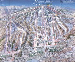
Mount Snow Trail Map 2001
Ski trail map of Mount Snow ski area, estimated 2001
114 miles away
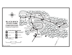
Black Rock Campground map
Map of the Campgrounds in Black Rock State Park.
114 miles away
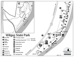
Wilgus State Park Campground Map
Campground map for Wilgus State Park in Vermont
114 miles away
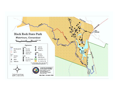
Black Rock State Park trail map
Trail map of Black Rock State Park in Connecticut.
114 miles away
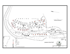
Jamaica State Park Campground Map
Campground map of Jamaica State Park in Vermont
114 miles away
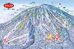
Stratton Mountain Resort Ski Trail Map
Trail map from Stratton Mountain Resort.
114 miles away
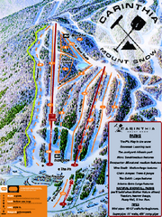
Mount Snow Carinthia Terrain Park Ski Trail Map
Trail map from Mount Snow.
114 miles away
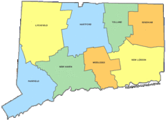
Connecticut Counties Map
114 miles away
Connecticut Zip Code Map
Check out this Zip code map and every other state and county zip code map zipcodeguy.com.
114 miles away
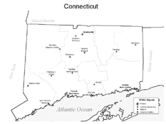
Conneticut Airports Map
114 miles away
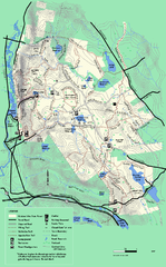
October Mountain State Forest trail map
Trail map of October Mountain State Forest in Massachusetts.
114 miles away

Topsmead State Forest map
Trail map for Topsmead State Forest in Connecticut.
114 miles away
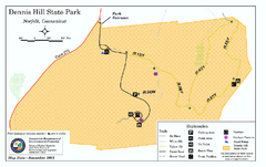
Dennis Hill State Park map
Trail map of Dennis Hill State Park in Connecticut.
114 miles away
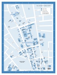
Yale University Campus North Map
Yale University Campus Map - North Campus, including School of Forestry & Environmental Studies...
114 miles away
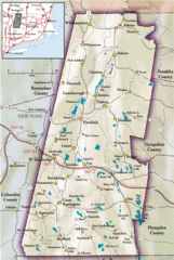
Berkshires Map
Overview map of the Berkshires region of Western Massachusetts
115 miles away
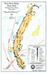
West Rock Ridge State Park map
Trail map of West Rock Ridge State Park in Connecticut.
115 miles away
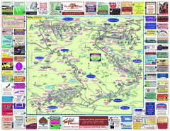
North County Berkshires map
Tourist map of North County - Pittsfield, N. Adams, Adams, Lanesboro, Cheshire, Williamstown...
115 miles away
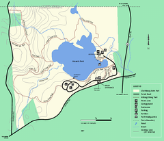
Clarksburg State Park trail map
Trail map of Clarksburg State Park in Massachusetts.
115 miles away

Yale University Map
115 miles away
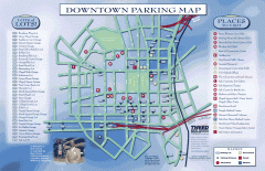
Downtown New Haven Parking Map
Shows locations of all town parking lots and also points of interest
115 miles away
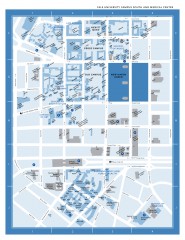
Yale University Campus South and Medical Center...
Yale University Campus South and Medical Center, including the Hewitt Quad, Cross Campus, Old Campus
115 miles away
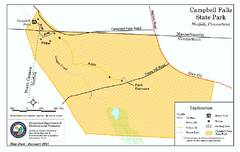
Cambell Falls State Park map
Trail map of Campbell Falls State Park Reserve in Connecticut
115 miles away
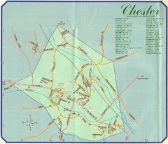
Chester Town Map
116 miles away
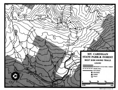
Cardigan State Park map
Topographical map of West Side hiking trails in Cardigan State Park in New Hampshire.
116 miles away
Ascutney State Park map
Campground map of Ascutney State Park in Vermont
117 miles away
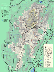
Mt. Greylock State Reservation summer trail map
Summer trail map of the Mt. Greylock State Park area in Massachusetts.
117 miles away
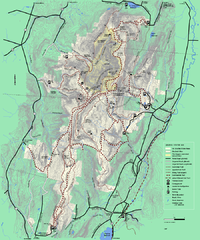
Mt. Greylock State Reservation winter trail map
Winter use trail map of Mt. Greylock State Park in Massachusetts.
117 miles away
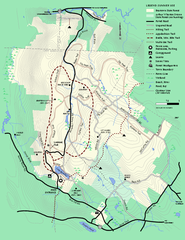
Beartown State Park Summer Map
Summer Map of Beartown State Park in Massachusetts.
117 miles away
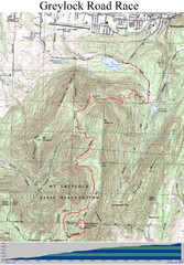
Mt. Greylock Road Race Course Map
Course map of the annual Mount Greylock Road Race. 8 Miles (uphill). Start/Finish: Mt. Williams...
117 miles away
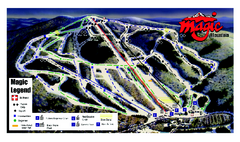
Magic Mountain Ski Trail map
Official ski trail map of Magic Mountain ski area from the 2006-2007 season.
117 miles away
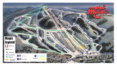
Magic Mountain Ski Trail Map
Trail map from Magic Mountain.
117 miles away
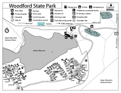
Woodford State Park Campground Map
Campground map for Woodford State Park in Vermont
117 miles away

