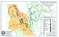
Chatfield Hollow State Park map
Trail map of Chatfield Hollow State Park
98 miles away
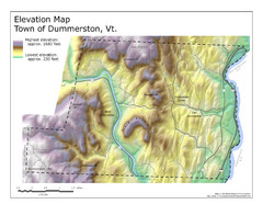
Elevation Map of Dummerston, Vermont
This Hypsometric map is a map that distinguishes elevations progression within a specific...
99 miles away
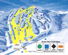
Blandford Ski Trail Map
Official ski trail map of Blandford ski area
99 miles away
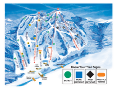
Blandford Ski Area Ski Trail Map
Trail map from Blandford Ski Area.
99 miles away
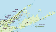
Long Island Wineries Map
Map of LIWC member wineries offering wine tastings to the public.
99 miles away
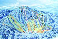
Gunstock Ski Trail Map
Ski trail map of Gunstock Mountain ski area
100 miles away
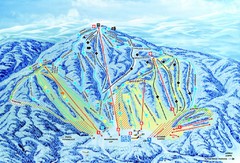
Gunstock Ski Area Ski Trail Map
Trail map from Gunstock Ski Area.
100 miles away
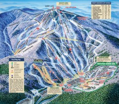
Mt. Sunapee Ski Trail Map
Official ski trail map of Mt. Sunapee ski area from the 2007-2008 season.
100 miles away
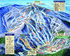
Mount Sunapee Ski Area Ski Trail Map
Trail map from Mount Sunapee Ski Area.
100 miles away

Hammonasset Beach State Park map
Trail map for Hammonasset Beach State Park in Connecticut.
100 miles away
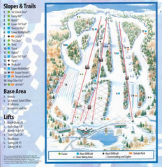
Powder Ridge Ski Area Ski Trail Map
Trail map from Powder Ridge Ski Area.
100 miles away
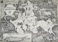
Shelter Island Map
Old Shelter Island map circa 1930s
100 miles away

Hammonasset Beach State Park campground map
Campground map of Hammonasset State Park in Connecticut.
100 miles away
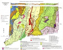
Connecticut Geologic Map
Geologic map of Connecticut bedrock. Shows shaded terranes, fault lines, and Mesozoic formations.
101 miles away
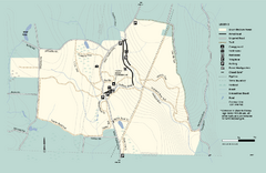
Granville State Forest trail map
Trail map of Granville State Forest in Massachusetts
101 miles away
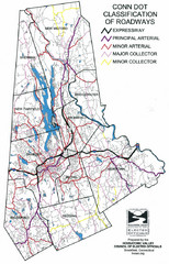
Connecticut Roadway Classification Map
101 miles away
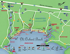
Old Orchard Beach Tourist Map
101 miles away
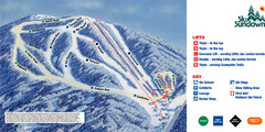
Ski Sundown Ski Trail Map
Trail map from Ski Sundown, which provides downhill and night skiing. It has 5 lifts servicing 15...
102 miles away
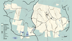
Kenneth Dubuque Memorial State Park trail map
Trail map of the Kenneth Dubuque state park conservation area in Massachusetts.
102 miles away
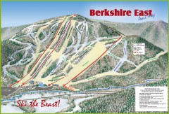
Berkshire East Ski Trail Map
Official ski trail map of Berkshire East ski area from the 2007-2008 season.
102 miles away
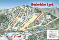
Berkshire East Ski Area Ski Trail Map
Trail map from Berkshire East Ski Area.
103 miles away
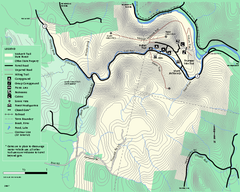
Mohawk Trail State Forest map
Map of the Mohawk Trail State Forest in Charlemont, Massachusetts.
103 miles away
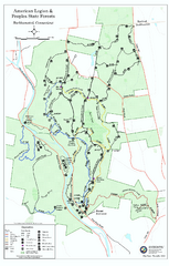
American Legion State Forest trail map
Trail map of American Legion and Peoples State Forests in Connecticut.
103 miles away
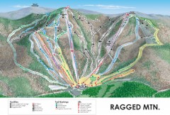
Ragged Mountain Ski trail Map
Official ski trail map of Ragged Mountain ski area from the 2007-2008 season.
103 miles away
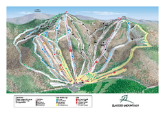
Ragged Mountain Ski Trail Map
Trail map from Ragged Mountain.
104 miles away
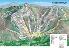
Ragged Mountain Ski Trail Map
Trail map from Ragged Mountain.
104 miles away
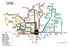
Guilford Bus Services Map
105 miles away
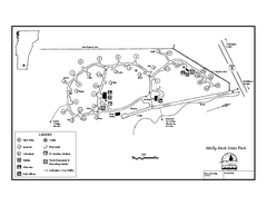
Molly Stark State Park Campground Map
Campground map for Molly State State Park in Vermont
106 miles away
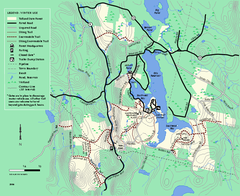
Tolland State Forest winter trail map
Winter usage trail map of the Tolland State Forest area in Massachusetts.
107 miles away
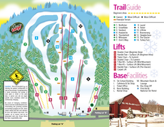
Mt. Southington Ski Area Ski Trail Map
Trail map from Mt. Southington Ski Area, which provides downhill, night, and terrain park skiing...
107 miles away
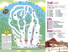
Mount Southington Ski Trail Map
Official ski trail map of Mount Southington ski area from the 2007-2008 season.
107 miles away
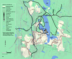
Tolland State Forest summer trail map
Summer use map for Tolland State Forest in Massachusetts.
107 miles away
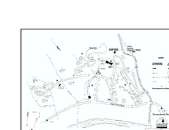
Townshend State Park Campground Map
Campground map of Townshend State Park in Vermont
107 miles away
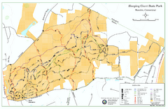
Sleeping Giant State Park map
Trail map for Sleeping Giant State Park in Connecticut.
109 miles away
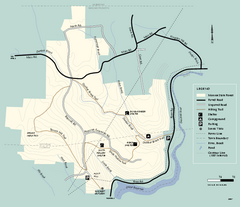
Monroe State Forest trail map
Trail map of Monroe State Forest in Massachusetts.
110 miles away
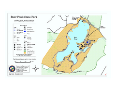
Burr Pond State Park map
Map of Burr Pond State Park in Connecticut.
110 miles away
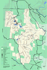
Savoy Mountail trail map
Trail map for Savoy Mountain in Massachusetts.
111 miles away
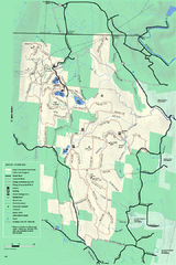
Savoy Mountain winter map
Winter use map of Savoy Mountain in Massachusetts.
111 miles away
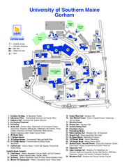
University of Southern Maine - Gorham Map
111 miles away


