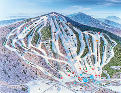
Pats Peak Ski Map
ski trail map of pats peak ski area
83 miles away
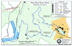
Daypond State Park map
Trail map for Day Pond State Park
83 miles away

Salmon River State Forest trail map
Trail map for Salmon River State Forest in Connecticut.
84 miles away
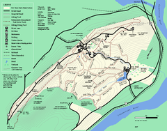
Mt. Tom State Reservation trail map
Trail map of Mt. Tom State Reservation
85 miles away
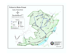
Nehantic State Forest map
Trail map of Nehantic State Forest in Connecticut.
85 miles away
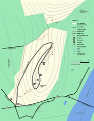
Mt. Sugarloaf State Reservation trail map
Trail map of Mount Sugarloaf State Reservation
86 miles away
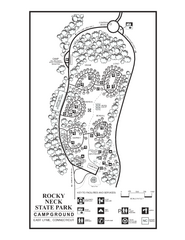
Rocky Neck State Park campground map
Campground map of Rocky Neck State Park in Connecticut.
86 miles away
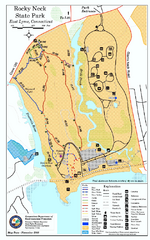
Rocky Neck State Park trail map
Trail map of Rocky Neck State Park in Connecticut.
86 miles away

Six Flags New England Theme Park Map
Official Park Map of Six Flags New England in Massachusetts.
86 miles away
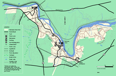
Robinson State Park trail map
Trail map of Robinson State Park in Massachusetts.
86 miles away
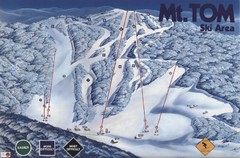
Mount Tom Ski Trail Map
Trail map from Mount Tom, which provides downhill skiing. This ski area opened in 1962.
86 miles away
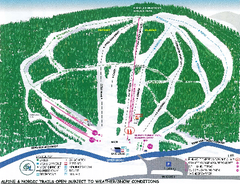
Granite Gorge Ski Trail Map
Trail map from Granite Gorge. This ski area opened in 2005.
87 miles away
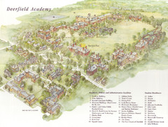
Deerfield Academy Campus Map
Shows buildings and facilities of Deerfield Academy. Scanned.
88 miles away
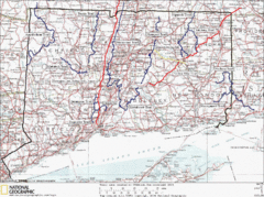
Connecticut Long Distance Trails Map
A map of long distance trails throughout Connecticut. Go to the website below for detailed trail...
88 miles away
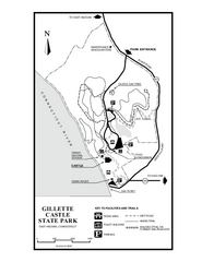
Gillette State Park trail map
Trail map of Gillette Castle State Park in Connecticut.
89 miles away
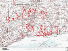
Connecticut Road Cycling Routes Map
A map of road cycling routes throughout Connecticut. Follow the link below for detailed route maps...
89 miles away
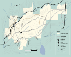
Windsor State Forest trail map
Trail map of Windsor State Forest in Massachusetts.
90 miles away
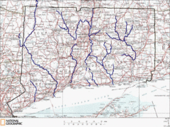
Connecticut Rivers and Coastal Paddling Map
This is a map of paddling areas for rivers and coastal kayaking. Follow the link below for...
90 miles away

Wadsworth Athenium Museum Location Map
Wadsworth Athenium visitor location map with locations of major buildings, streets, parks, and...
90 miles away
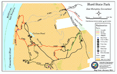
Hurd State Park trail map
Trail map for Hurd State Park in Connecticut.
90 miles away
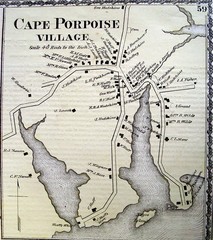
Cape Porpoise Village Map
91 miles away
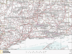
Connecticut Canoeing and Kayaking Lakes Map
A map of the lakes and ponds that are open for canoeing and kayaking in Connecticut. For detailed...
91 miles away
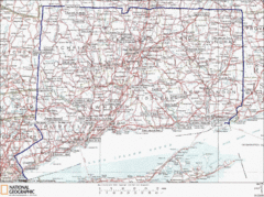
Connecticut State Parks Map
This is statewide map for Connecticut state parks. Go to the source website for detailed hiking...
92 miles away

Cockaponset State Forest North Section trail map
Trail map for the north section of Cockaponset State Forest in Connecticut
92 miles away
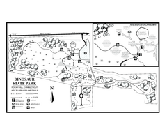
Dinosaur State Park map
Trail map of Dinosaur State Park in Connecticut.
92 miles away
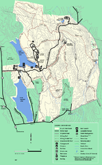
DAR State Forest summer map
Summer use map of the Daughters of the American Revolution state forest.
92 miles away

Cockaponset State Forest South Section trail map
Trail map for the South Section of Cockaponset State Forest in Connecticut.
93 miles away

Camp Morgan Trail Map
93 miles away
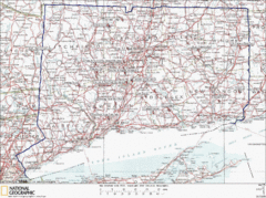
Connecticut Rock Climbing Locations Map
A map of most of the important rock climbing and bouldering areas in Connecticut. Click the link...
93 miles away
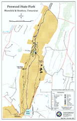
Penwood State Park map
Trail map of Penwood State Park in Connecticut.
94 miles away
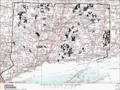
Connecticut State Forests Map
This is a map of all of the state forest boundaries in Connecticut. Follow the source web address...
94 miles away

Eastern Long Island Placemat map
Photo of a placemat map from Gosman's Dock Restaurant in Montauk, NY. Shows eastern Long...
94 miles away
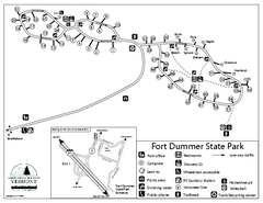
Fort Dummer State Park Campground Map
Campground map of Fort Dummer State Park in Vermont
95 miles away
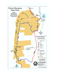
Talcott Mountain State Park map
Trail map of Talcott Mountain State Park in Connecticut.
95 miles away
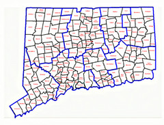
Connecticut Town Map
95 miles away
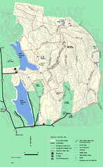
DAR State Forest winter map
Winter use map of the Daughters of the American Revolution State Forest.
95 miles away
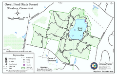
Great Pond State Park trail map
Trail map of Great Pond State Forest in Connecticut.
96 miles away
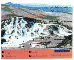
Temple Mountain Last year open—Credited to...
Trail map from Temple Mountain. This ski area opened in 1937.
96 miles away
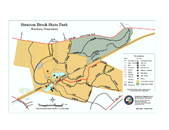
Stratton Brook State Park map
Trail map of Stratton Brook State Park in Connecticut.
96 miles away
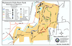
Wadsworth Falls State Park map
Trail map of Wadsworth Falls State Park in Connecticut.
97 miles away

