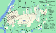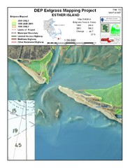
Esther Island Map
DEP Eelgrass map of Esther Island, Nantucket
70 miles away
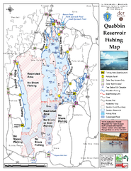
Quabbin Reservoir Fishing Map
Fishing access map of Quabbin Reservoir. Shows all ponds and submerged ponds.
70 miles away
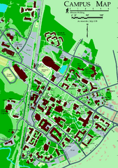
University of New Hampshire Campus Map
University of New Hampshire Campus Map
70 miles away
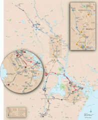
New Hampshire Transit Map
Guide to COAST and Wildcat Transit lines in New Hampshire
71 miles away
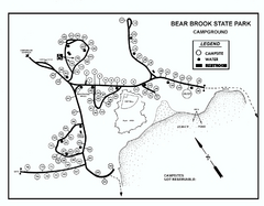
Bear Brook State Park Campground map
Campground map of Bear Brook State Park in New Hampshire
71 miles away
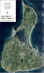
Block Island Aerial Map
Aerial map of Block Island, RI (New Shoreham, RI). True color orthophotography from August 2006.
71 miles away
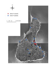
Native and Exotic Phragmites on Block Island Map
72 miles away
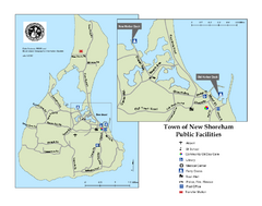
Block Island Road Map
Shows roads and major facilities on Block Island, RI (New Shoreham)
72 miles away
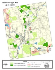
Peterborough Open Space Map
Map of open space lands in Peterborough, New Hampshire
72 miles away
Bear Brook Trails Map
Bear Brook Park Trails and Park map in New Hampshire
72 miles away
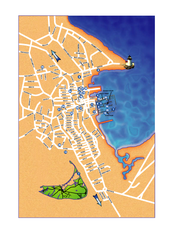
Nantucket Town Street Map
Tourist map of town of Nantucket on Nantucket Island. Shows major streets and points of interest...
74 miles away
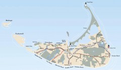
Tourist Map of Nantucket Island
Tourist map of Nantucket Island. Shows all towns and information.
75 miles away
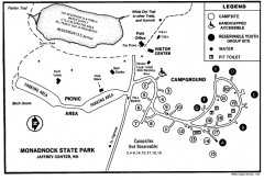
Monadnock State Park map
Campground map of Monadnock State Park in New Hampshire
76 miles away
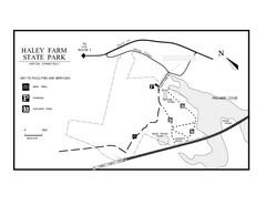
Haley Farm State Park map
Trail map of Haley Farm State Park in Connecticut.
76 miles away
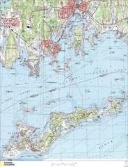
Fishers Island Map
In Long Island Sound
76 miles away
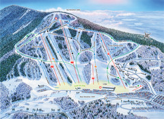
Crotched Mountain Ski Trail Map
Trail map from Crotched Mountain.
76 miles away
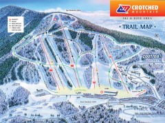
Crotched Mountain Ski Trail Map
Official ski trail map of Crotched Mountain ski area from the 2007-2008 season.
76 miles away
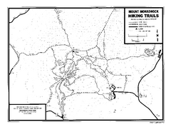
Mount Monadnock State Park Map
Official hiking map of the park. With its thousands of acres of protected highlands, 3,165-ft...
76 miles away
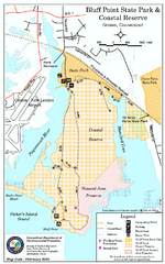
Bluff Point State Park map
Trail map for Bluff Point State Park and Coastal Reserve.
77 miles away
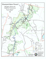
Trail map of Shenipsit State Forest
Trail map of Shenipsit State Forest in Connecticut.
77 miles away
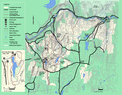
Wendell State Forest trail map
Trail map of Wendell State Forest in Massachusetts.
77 miles away
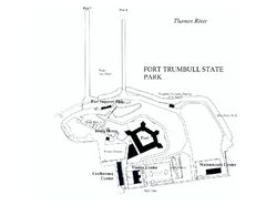
Fort Trumbull State Park map
Map of Fort Trumbull State Park in Connecticut.
78 miles away
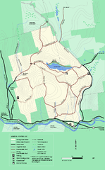
Erving State Park winter use map
Winter use map of the Erving State Park in Massachusetts
79 miles away
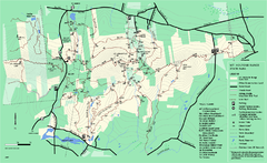
Mount Holyoke Range State Park Map
Trail map of Holyoke Range State Park.
79 miles away
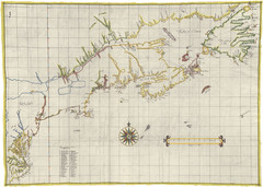
Velasco Map 1610
79 miles away
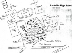
Rockville High School Map
Hand-drawn map of Rockville High School includes all buildings, Parking Lots, and sports fields.
79 miles away
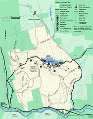
Erving Summer trail map
Summer use map of Erving State Park in Massachusetts.
79 miles away
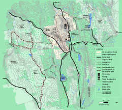
Mt. Grace State Forest trail map
Trail map of Mt. Grace State Forest near Warwick, Massachusetts.
80 miles away
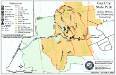
Gay City State Park trail map
Trail map of Gay City State Park in Connecticut.
80 miles away
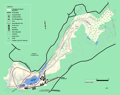
Chicopee State Park trail map
Chicopee State Park trail map
80 miles away
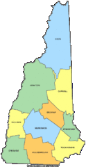
New Hampshire Counties Map
80 miles away
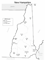
New Hampshire Airports Map
80 miles away
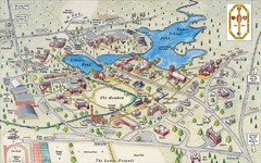
St. Paul's School Campus Map
Campus map of St. Paul's School
80 miles away
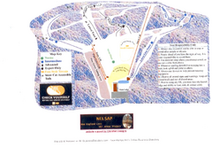
Arrowhead Arrowhead Ski Trail Map
Trail map from Arrowhead.
80 miles away
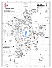
University of Massachusetts - Amherst Map
Campus Map of the University of Massachusetts - Amherst. All buildings shown.
80 miles away
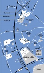
Downtown Amherst, Massachusetts Map
Tourist map of downtown Amherst, Massachusetts, showing attractions, government buildings, atms...
80 miles away
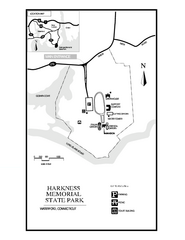
Harkness Memorial State Park map
Trail map of Harkness Memorial State Park in Connecticut.
81 miles away
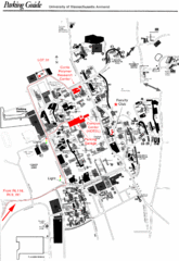
University of Massachusetts Amherst Parking Map
Map of the University of Massachusetts. Includes all buildings, streets, and parking information.
81 miles away
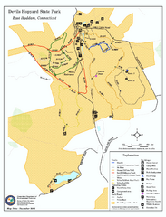
Devils Hophard State Park map
Trail and camprground map for Devils Hopyard State Park in Connecticut.
83 miles away

