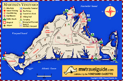
Martha's Vineyard Island Map
Tourist map of island of Martha's Vineyard, Massachusetts.
52 miles away
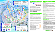
Wachusett Mountain Ski Trail Map
Trail map from Wachusett Mountain.
53 miles away
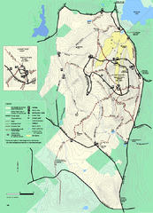
Wachusett Mountain State Reservation trail map
Trail map of Wachusett Mountain State Reservation in Massachusetts.
53 miles away
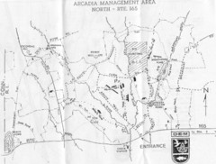
Arcadia Management Area State Map
Trail map for Arcadia Management Area in Rhode Island
53 miles away
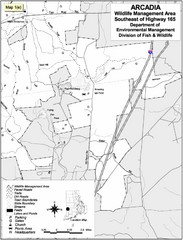
Arcadia Wildlife Management Area Map - Southeast
Reference map shows portion of Arcadia Wildlife Management Area, Rhode Island southeast of Highway...
53 miles away
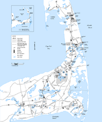
Cape Cod Rail Trail, Cape Cod, Massachusetts Map
Map of the Cape Cod Rail Trail bike path. Shows trails, restrooms, other roads and parking.
54 miles away
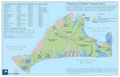
Martha's Vineyard Watershed Map
54 miles away
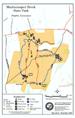
Mashamoquet Brook State Park trail map
Trail map of Mashamoquet Brook State Park in Connecticut.
54 miles away
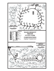
Mashamoquet Brook State Park campground map
Campground map of Mashamoquet Brook State Park in Connecticut.
54 miles away
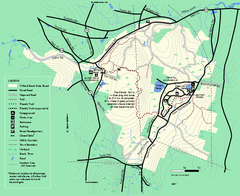
Willard Brook State Forest trail map
Trail map of Willard Brook State Forest in Massachusetts.
55 miles away
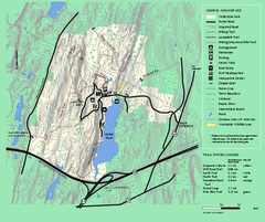
Wells State Park trail map
Trail map of Wells State Park in Massachusetts.
55 miles away
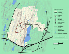
Wells State Park winter trail map
Winter use trail map of Wells State Park in Massachusetts.
55 miles away
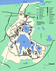
Nickerson State Park trail map
Trail map of Nickerson State Park in Massachusetts.
56 miles away
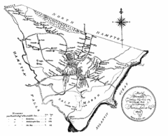
Hampton NH Map 1806
1806 map of Hampton, NH. Shows roads and settlements.
56 miles away
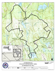
Hubbardston WMA Map
56 miles away
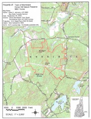
Merrimack Topo Map
A Topographical map Horse Hill Nature Preserve.
56 miles away
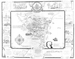
Hampton, New Hampshire Historical Map
Historical map of Hampton, New Hampshire. Illustrated map includes roads and historical buildings.
58 miles away
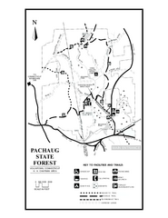
Pachaug State Forest map
Trail map of Pachaug State Forest in Connecticut.
59 miles away
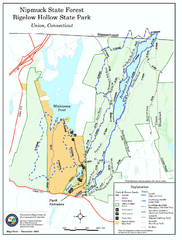
Nipmuck State Forest trail map
Trail map of Nipmuck State Forest and Bigelow Hollow State Park in Connecticut.
59 miles away
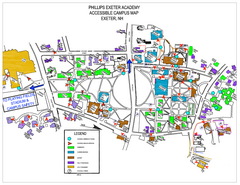
Phillips Exeter Academy Campus Map
Phillips Exeter Academy Campus Map
60 miles away
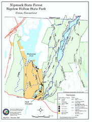
Bigelow Hollow State Park trail map
Trail map of Bigelow Hollow State Park in Connecticut.
60 miles away
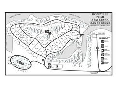
Hopeville Pond campground map
Campground map of Hopeville Pond State Park in Connecticut.
60 miles away
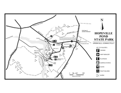
Hopeville Pond State Park trail map
Trail map for Hopevill Pond State Park in Connecticut
60 miles away
Mt. Watatic to Wachusett Mountain, Massachusetts...
61 miles away
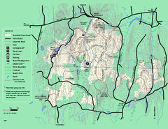
Brimfield State Forest trail map
Trail map of Brimfield State Forest in Massachusetts
63 miles away
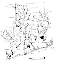
Rhode Island Coastal Watershed Map
Paddling Guide of Pawcatuck River Watershed
65 miles away
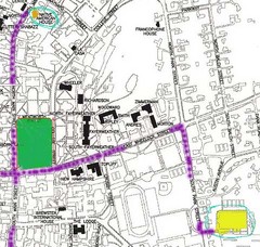
Manchester, New Hampshire City Map
65 miles away
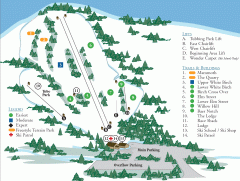
McIntyre Ski Trail Map
Official ski trail map of McIntyre ski area.
65 miles away
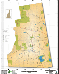
Temple NH Topo Map
Topographical map of Temple, NH area. Shows all roads and points of interest.
66 miles away
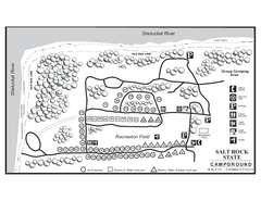
Salt Rock State Park campground map
Campground Map of Salt Rock State Campground in Connecticut.
66 miles away
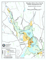
Mansfield Hollow State Park map
Map for Mansfield Hollow State Park and Wildlife Management Area in Connecticut.
66 miles away
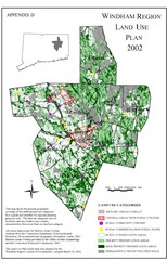
2002 Windham Region Land Use Map
Regional Land Use Guide Map for Planning Purposes
66 miles away
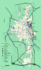
Otter River State Forest summer trail map
Summer trail map of the Otter River State Forest area in Massachusetts.
66 miles away
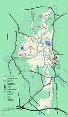
Otter River State Forest winter trail map
Winter usage trail map for Otter River State Park in Massachusetts.
66 miles away

Mansfield Cemetery Map
67 miles away
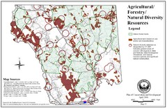
Mansfield Conservation and Development Map
Guide to Agricultural, Forestry and Natural Diversity Resources
68 miles away

Palmer Motorsports Park Map
Track Map for Proposed Palmer Motorsports Park
68 miles away
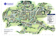
University of Connecticut - Storrs Campus Map
University of Connecticut - Storrs Campus Map. All areas shown.
68 miles away
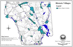
Historic Villages of Mansfield, Connecticut Map
Historical villages outlined on the map of the existing city.
69 miles away
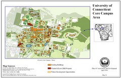
University of Connecticut Campus Map
Map shows current, funded projects and future development for UConn.
69 miles away

