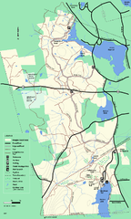
Douglas State Forest trail map
Trail map of the Douglas State Forest in Massachusetts
41 miles away
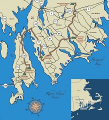
Southeastern New England Wine Trail Map
Map of the Southeastern New England Wine Trail, showing all vineyards and wineries that are members...
41 miles away
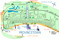
Provincetown, Massachusetts Map
Tourist map of Provincetown, Massachusetts. Shows beaches, visitor's center, bike trails, and...
41 miles away
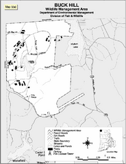
Buck Hill Wildlife Management Area Map
42 miles away
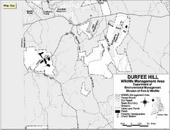
Durfee Hill Wildlife Management Area Map
42 miles away
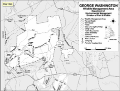
George Washington Wildlife Management Area Map
42 miles away
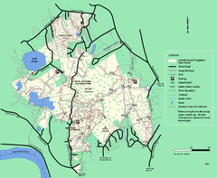
Lowell-Dracut-Tyngsboro State Forest trail map
Trail map for the Lowell-Dracut-Tyngsboro State Forest in Massachusetts
42 miles away
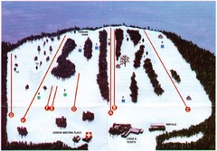
Ski Bradford Ski Trail Map
Trail map from Ski Bradford.
43 miles away
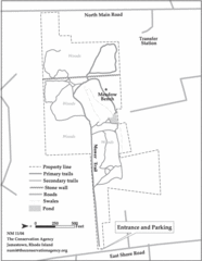
Parker Farm Trail Map
43 miles away
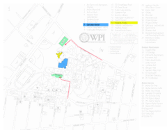
Worcester Polytechnic Institute Campus Map
Map of Worcester Polytechnic Institute. Includes all buildings, parking, streets, and location of...
44 miles away
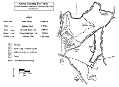
Pulaski State Park Map
44 miles away
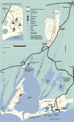
Waquoit Bay National Estuarine Research Preserve...
Trail map of Waquoit Bay National Estuarine Research Preserve in Massachusetts.
44 miles away
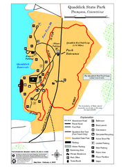
Quaddick State Park Trail Map
44 miles away

Mine Brook Wildlife Management Area Map
44 miles away
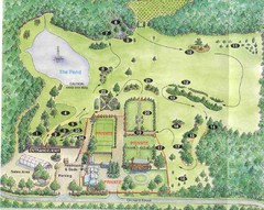
Newbury Perrenial Gardens Guide Map
44 miles away
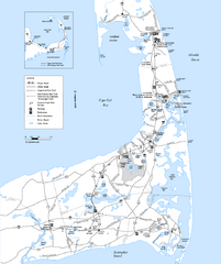
Cape Cod Rail Trail Map
Cape Cod Rail Trail map. The Cape Cod Rail Trail follows a former railroad right-of-way for 22...
45 miles away
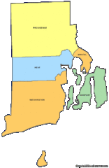
Rhode Island Counties Map
45 miles away
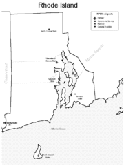
Rhode Island Airports Map
45 miles away
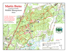
Downfall/Martin Burns WMA Map
45 miles away
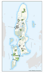
Conanicut Island Land Trust Map
Shows 430 acres of property on Conanicut Island, RI stewarded by the Conanicut Island Land Trust
46 miles away
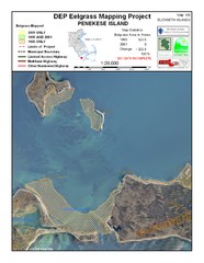
Penekese Island Eelgrass Map
47 miles away
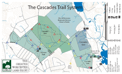
Cascades Park Map
47 miles away
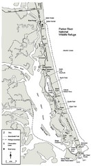
Parker River Map
Map of Parker River National Wildlife Refuge for birdlife
47 miles away
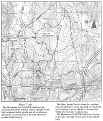
Trout Brook Conservation Area Map
48 miles away
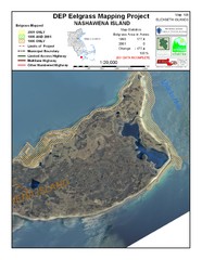
Nashawena Island Eelgrass Map
48 miles away
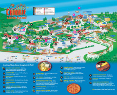
Canobie Lake Park Map
48 miles away
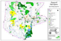
Pepperell Conservation Land and Open Spaces Map
Map showing conservation land and open spaces in Pepperell, MA.
49 miles away

Cape Cod Hospital Map
Campus map of Cape Cod Hospital
49 miles away

Cape Cod Hospital Map
Map of external vicinity of Cape Cod Hospital
49 miles away
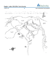
Eagle Lake Conservation Area Map
49 miles away
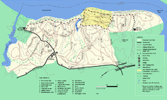
Maudslay State Park trail map
Trail Map of Maudslay State Park in Massachusetts.
49 miles away
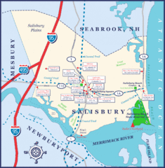
Salisbury Town Map
50 miles away
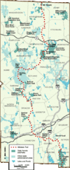
Midstate Trail Map
Map of the Midstate Trail, which runs from Ashburnham to the Rhode Island border. Shows state...
50 miles away
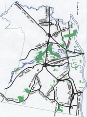
Nashua Parks Map
Map of Nashua, New Hampshire parks
50 miles away
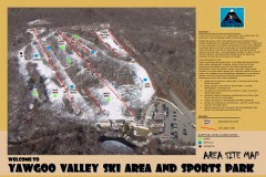
Yawgoo Valley Ski Trail map
Map of Yawgoo Valley Ski area in Exeter, Rhode Island. It is the only skiing resort in Rhode...
50 miles away
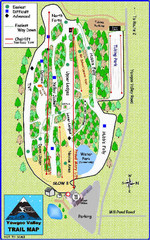
Yawgoo Valley Ski Area Ski Trail Map
Trail map from Yawgoo Valley Ski Area.
50 miles away
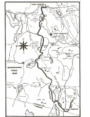
Monoosnoc Trail Map
50 miles away
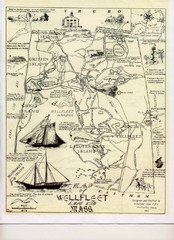
Wellfleet 1930s Tourist Map
A tourist map from the 1930s of Wellfeet, Massachusetts in Cape Cod. Courtesy of Cynthia Blakeley
51 miles away
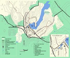
Moore State Park trail map
Trail map of Moore State Park in Massachusetts.
51 miles away
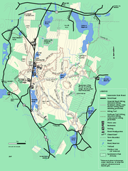
Leominster State Forest trail map
Trail map of Leominster State Forest in Massachusetts
51 miles away

