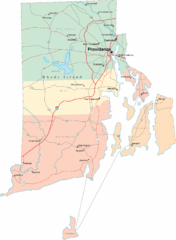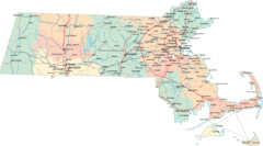
Massachusetts Road Map
28 miles away
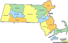
Massachusetts Counties Map
28 miles away
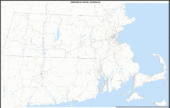
Massachusetts Zip Code Map
Check out this Zip code map and every other state and county zip code map zipcodeguy.com.
28 miles away
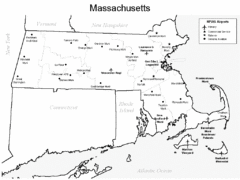
Massachusetts Airports Map
28 miles away
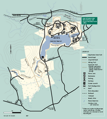
Hopkinton State Park trail map
Trail map of Hopkinton State Park in Massachusetts
29 miles away
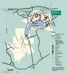
Hopkinton State Park trail map
Trail map of Hopkinton State Park in Massachusetts
29 miles away
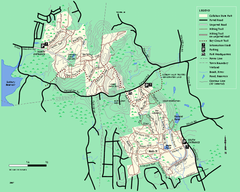
Callahan State Park trail map
Trail map of Callahan State Park in Massachusetts
29 miles away
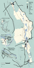
Blackstone Trail Map
Map of Blackstone River State Park in Massachusetts.
29 miles away
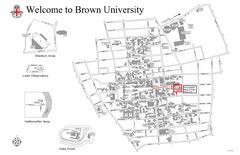
Brown University Map
29 miles away
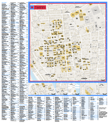
Brown University Campus Map
Official campus map of Brown University.
29 miles away
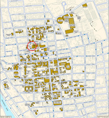
Providence, Rhode Island City Map
30 miles away
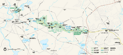
Minute Man National Historical Park Official Map
Official NPS map of Minute Man National Historical Park in Massachusetts. Map shows all areas. The...
31 miles away
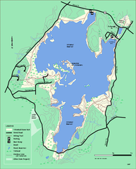
Whitehall State Park trail map
Trail map of Whitehall State Park in Massachusetts.
31 miles away
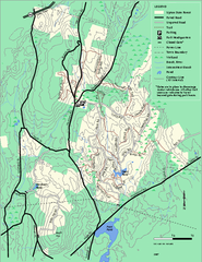
Upton State Forest trail map
Trail map for Upton State Forest in Massachusetts.
32 miles away
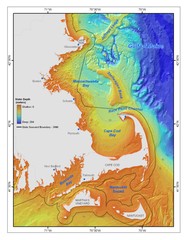
Massachusetts Bay sea floor Map
32 miles away
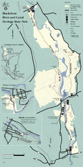
Heritage State Park Map
Clear state park map marking trails and facilities.
33 miles away
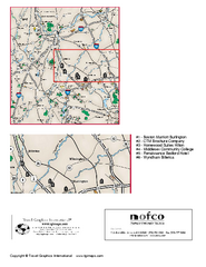
Greater Merrimack Valley, Massachusetts Map
Tourist map of greater Merrimack Valley, Massachusetts. Lodging, forests, and other points of...
34 miles away
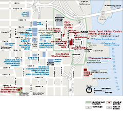
New Bedford Whaling National Historical Park...
Official NPS map of New Bedford Whaling National Historical Park in Massachusetts. Map shows all...
34 miles away
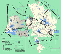
Harold Parker State Forest trail map
Trail map of Harold Parker State Forest in Massachusetts
35 miles away
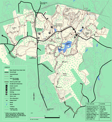
Great Brook Farm State Park trail map
Trail map of Great Brook Farm State Park.
35 miles away
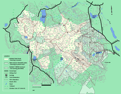
Boxford State Park trail map
Trail map of Boxford State Forest in Massachusetts
36 miles away
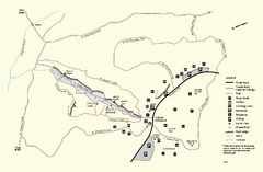
Purgatory Chasm State Reservation trail map
Trail map of Purgatory Chasm State Reservation in Massachusetts.
36 miles away
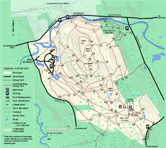
Bradley Palmer State Park winter map
Winter trail map of Bradley Palmer State Park.
37 miles away
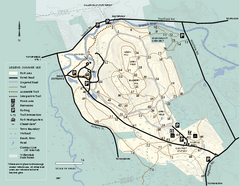
Bradley Palmer State Park summer map
Summer use map of Bradley Palmer State Park in Massachusetts
37 miles away
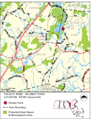
Delaney Conservation Land Map
37 miles away
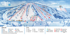
Nashoba Valley Ski Area Ski Trail Map
Trail map from Nashoba Valley Ski Area.
37 miles away
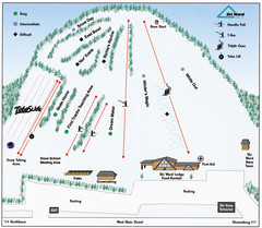
Ski Ward Ski Trail Map
Trail map from Ski Ward.
38 miles away
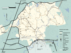
Willowdale State Forest map of Pine Swamp
Trail map of the Pine Swamp area of Willowdale State Park in Massachusetts.
38 miles away
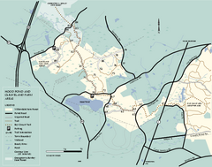
Willowdale State Forest map of Hood Pond
Trail map of the Hood Pond area of the Willowdale State Park in Massachusetts.
38 miles away
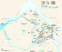
Lowell National Historical Park Official Map
Official NPS map of Lowell National Historical Park in Lowell, Massachusetts. Map shows all of...
38 miles away
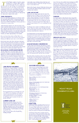
Mt. Pisgah Map - Northboro, Berlin, Boylston Mass
38 miles away
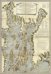
Narrangansett Bay Map 1777
"A Topographical CHART of the BAY of NARRAGANSET in the Province of NEW ENGLAND. with the...
39 miles away
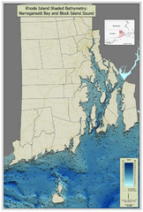
Rhode Island Shaded Bathymetry Map
Bathymetric map of Rhode Island with Narrangansett Bay and Rhode Island Sound. Graduated...
40 miles away
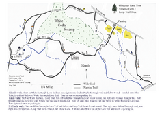
Sprague Farm - Glocester Land Trust Map
40 miles away
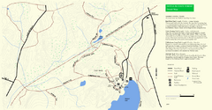
Douglas State Park Detail Map
40 miles away
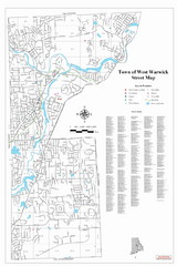
West Warwick Town Map
Street map of W. Warwick
40 miles away
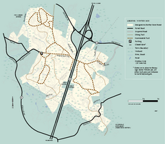
Georgetown-Rowley State Forest winter use map
Winter use map for the Georgetown-Rowley State Forest in Massachusetts.
40 miles away
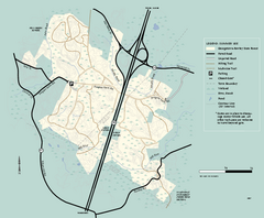
Georgetown-Rowley State Forest summer use map
Summer use map for Georgetown-Rowley State Forest.
40 miles away
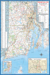
Rhode Island Road Map
Official Rhode Island state highway map. Insets show Newport and Providence.
41 miles away

