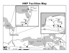
Adirondack Map
Map of Adirondack Park Reserve. Shows Rich Lake Area, Arbutus Area, and the location of the...
208 miles away
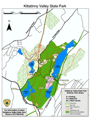
Kittatinny Valley State Park trail map
Trail map of Kittatinny Valley State Park in New Jersey. Shows hunting areas and trails.
208 miles away
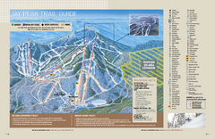
Jay Peak Ski Trail Guide Map
Official ski trail map of Jay Peak ski area from the 2006-207 season.
209 miles away
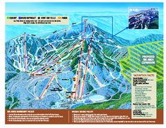
Jay Peak Ski Trail Map
Trail map from Jay Peak.
209 miles away
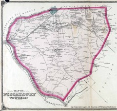
Antique map of Piscataway from 1876
Historic map of Piscataway, New Jersey from 1876.
210 miles away
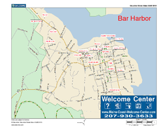
Bar Harbor, Maine, Us Map
Maine Coast Welcome Center's local Map of Bar Harbor, Me with recommended business locations.
210 miles away
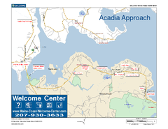
Acadia Approach Map
Maine Coast Welcome Center's local Map of the approach to Acadia, Me with recommended business...
210 miles away
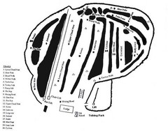
Hermon Mountain Ski Trail Map
Trail map from Hermon Mountain.
211 miles away
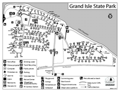
Grand Isle State Park Campground Map
Campground map for Grand Isle State Park in Vermont
212 miles away
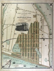
Antique map of Point Pleasant from 1880
Antique map of Point Pleasant, New Jersey from c. 1880.
212 miles away
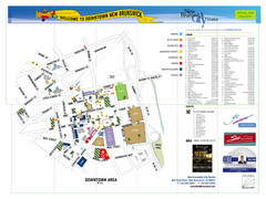
New Brunswick City Map
City map of New Brunswick, New Jersey with tourist information
213 miles away
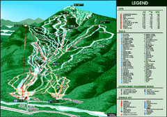
Whiteface Mountain—Lake Placid Ski Trail Map
Trail map from Whiteface Mountain—Lake Placid.
213 miles away
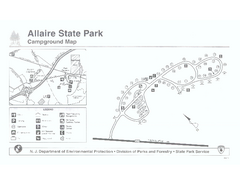
Allaire State Park campground map
Campground map for Allaire State Park in Vermont
213 miles away
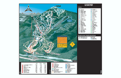
Whiteface Ski Trail Map
Official ski trail map of Whiteface 2006-2007 season.
213 miles away

Ski Big Bear Ski Trail Map
Trail map from Ski Big Bear.
214 miles away
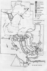
Gilbert Lake State Park Map
214 miles away
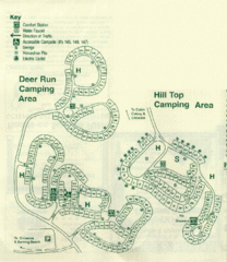
Gilbert Lake State Park Camping Map
214 miles away
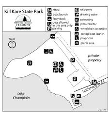
Kill Kare State Park map
Campground map of Kill Kare State park in Vermont
215 miles away
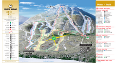
Owl’s Head Ski Trail Map
Trail map from Owl’s Head, which provides downhill skiing. This ski area has its own website.
215 miles away
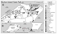
Burton Island State Park map
Campground map of Burton Island State Park in Vermont
215 miles away
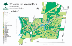
Colonial Park, Somerset, NJ Map
215 miles away
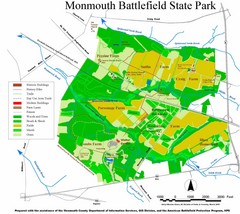
Monmouth Battlefield State Park Map
215 miles away
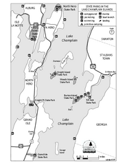
State Parks of the Champlain Islands Map
Map of the various State Parks of the Inland Sea / Lake Champlain area in Vermont
216 miles away
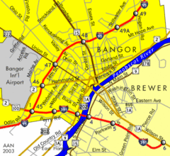
Bangor City Map
Airport, roads and interstates are on this map.
216 miles away
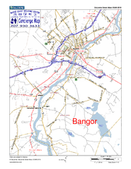
Bangor, Me, USA Map
Maine Coast Welcome Center's local Map of Bangor, Me with recommended business locations.
216 miles away
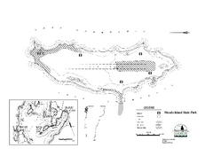
Woods Island State Park Campground Map
Campground map of Woods Island State Park in Vermont
216 miles away
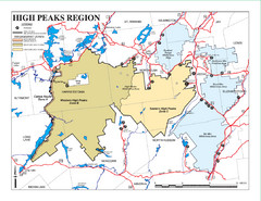
Adirondacks Canoeing Map
Guide to canoeing in the Adirondacks
217 miles away
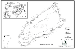
Knight Island State Park Campground Map
Map of Knight Island State Park in Vermont
218 miles away
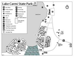
Lake Carmi State Park Campground Map
Capground of Lake Carmi State Park in Vermont
218 miles away
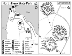
North Hero State Park Campground Map
Campground map of North Hero in Vermont
220 miles away
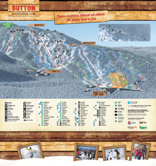
Mont Sutton Trail map
221 miles away
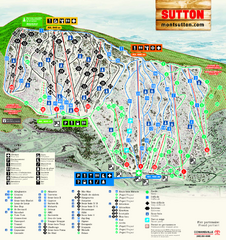
Mont Sutton Ski Trail Map
Trail map from Mont Sutton, which provides downhill skiing. This ski area has its own website.
221 miles away
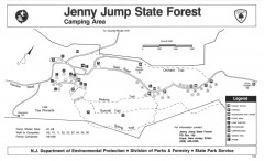
Jenny Jump State Forest map
Trail and camping map of Jenny Jump State Forest in New Jersey.
222 miles away

Tanglwood Ski Area Ski Trail Map
Trail map from Tanglwood Ski Area, which provides downhill, night, and terrain park skiing. It has...
222 miles away
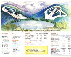
Mount Tone Ski Trail Map
Trail map from Mount Tone.
222 miles away
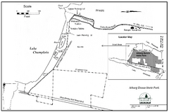
Alburg Dunes State Park map
Map of Alburg Dunes State Park in Vermont.
223 miles away
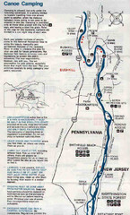
Deleware River Boat Map
224 miles away
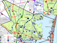
Tom's River, New Jersey City Map
224 miles away
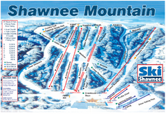
Shawnee Mountain Ski Trail Map
Trail map from Shawnee Mountain.
225 miles away
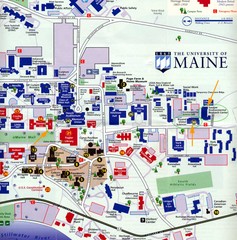
University of Maine Map
Campus map
225 miles away

