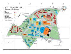
Boston College Main Chestnut Hill Campus Map
The main campus of Boston College, Chestnut Hill. Grid Map with Building Table
18 miles away
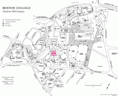
Boston College Chestnut Hill Campus Map
campus map for Boston College's Chestnut Hill Camps
18 miles away
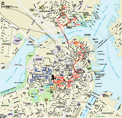
Boston National Historical Park Official Park Map
Official NPS map of Boston National Historical Park in Boston, Massachusetts. From park brochure...
18 miles away
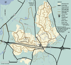
Wrentham State Forest trail map
Trail map of Wrentham State Forest in Massachusetts.
18 miles away
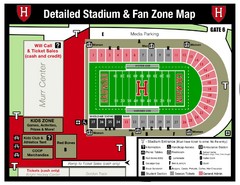
Harvard Stadium Map
Beautiful map of the horse-shoe shaped stadium of Harvard University.
18 miles away
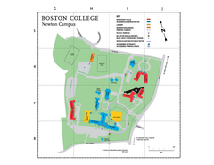
Boston College - Newton Campus Map
Boston College - Newton Campus Map. Shows all buildings.
19 miles away
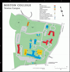
Boston College Newton Campus Map
campus map for Boston College Newton Campus
19 miles away
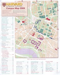
Harvard University Map
Campus map
19 miles away

John F. Kennedy School of Government Campus Map
Campus map of the Harvard University John F. Kennedy School of Government in Cambridge...
19 miles away
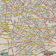
Cambridge, Massachusetts Map
19 miles away
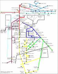
Cambridge Pub Map
19 miles away
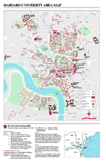
Harvard University campus map
Harvard University campus map
19 miles away
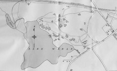
1899 Map of Wellesley College
After College Hall, the original site of Wellesley's faculty, students, classrooms, and...
20 miles away
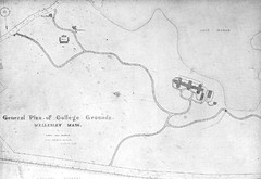
1870s Map of Wellesley College
General plan of college grounds, 1870s.
20 miles away
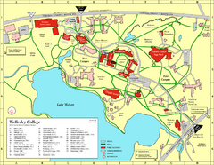
Wellesley College campus map
2008 Wellesley College campus map
20 miles away
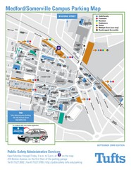
Medford Campus Map
Clear map indicating buildings and parking areas.
22 miles away
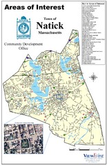
Natick Areas Of Interest Map
Shows points of interest in town of Natick, Massachusetts. Inset of downtown Natick.
22 miles away
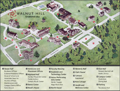
Walnut Hill School Map
Campus Map
22 miles away
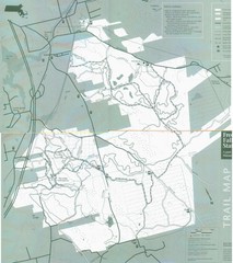
Freetown State Forest Map
Freetown State Forest Map showing mountain biking trails
24 miles away
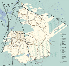
Freetown-Fall River State Forest trail map
Trail map of Freetown-Fall River State Forest in Massachusetts
24 miles away
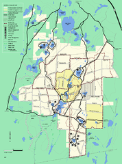
Myles Standish State Forest trail map
Summer trail map for Myles Standish State Forest.
24 miles away
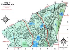
Winchester Town Map
24 miles away
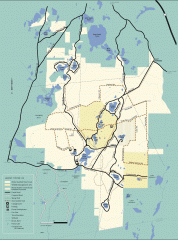
Myles Standish State Forest winter trail map
Winter activity map of all the trails and roads in Myles Standish State Park, MA. Cross country...
24 miles away
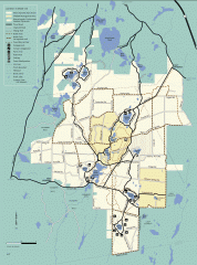
Myles Standish State Forest summer trail map
Map of all the trails and roads in Myles Standish State Park, MA. 15 miles of bicycle trails, 35...
24 miles away
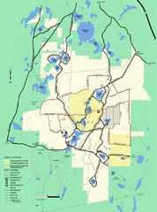
Myles Standish State Forest Winter trail map
Myles Standish State Forest winter use trail map.
25 miles away
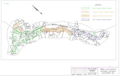
Town of Lexington Historic Districts Map
Identifies the 4 historical districts of Lexington, Massachusetts.
26 miles away
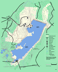
Ashland State Park Map
Map of Ashland State Park in Massachusetts.
26 miles away
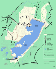
Ashland State Park Map
Clear map and legend marking trails, parking, facilities and more.
26 miles away
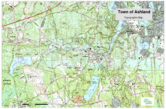
Ashland, MA - Topo Map
Map is provided by the town of Ashland, MA. See town's website for additional maps and...
26 miles away
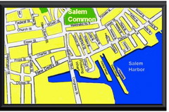
Salem, Massachusetts Guide Map
27 miles away
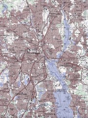
Providence Topo Map
Topo map of Providence, East Providence, Cranston, and Pawtucket, RI. Original scale 1:50,000
27 miles away
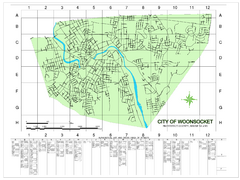
Woonsocket Street Map
Street map of Woonsocket, Rhode Island. Shows street legend.
27 miles away
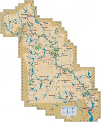
Blackstone Valley tourist map
Tourist map of the Blackston Valley in Rhode Island and Massachusetts. Shows hiking, biking, and...
28 miles away
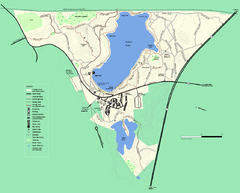
Walden Pond State Reservation trail map
Trail map of Walden Pond State Reservation
28 miles away
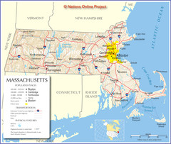
Massachusetts Road Map
28 miles away
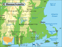
Massachusetts Rivers, Lakes, Mountains and...
28 miles away
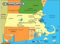
Massachusetts Cities Map
28 miles away
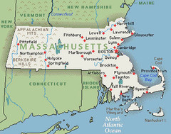
Massachusetts Cities and Mountains Map
28 miles away
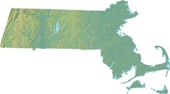
Maryland Relief Map
28 miles away
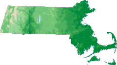
Massachusetts Elevations Map
28 miles away

