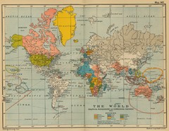
Colonial Posessions and Commercial Highways 1910...
Historical world map (1910) of various colonization and highway expansion
185 miles away
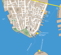
Lower Manhattan Area Map
185 miles away
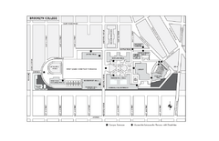
Brooklyn College Campus Map
Brooklyn College Campus Map. All buildings shown.
185 miles away
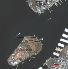
Governor's Island Map
Aerial photo view map of Governor's Island, New York
186 miles away
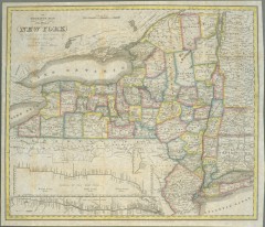
1831 Antique New York State map
The tourist's map of the state of New York : compiled from the latest authorities in the...
186 miles away
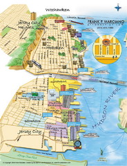
Jersey City, New Jersey City Map
Sketch of Jersey City and Hoboken, New Jersey
186 miles away
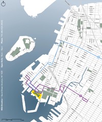
IKEA Brooklyn Map
Location map and map of bus routes and access streets to IKEA in Brooklyn, NY.
186 miles away

NYC Biking Route Map (Part of Queens, Brookyln...
Official biking route map of part of Queens, Brookyln and Staten Island
186 miles away
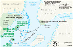
Statue of Liberty National Monument Map
Official NPS map of Statue of Liberty National Monument. Shows Statue of Liberty, Ellis Island, and...
186 miles away
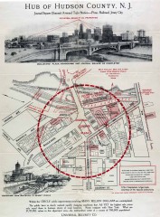
Antique map of Jersey City from 1925
Antique map of Jersey City, New Jersey from 1925.
186 miles away
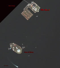
Ellis Island and Statue of Liberty Map
Aerial map of Ellis Island and the Statue of Liberty
187 miles away
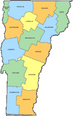
Vermont Counties Map
187 miles away
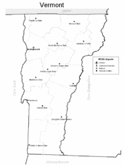
Vermont Airports Map
187 miles away
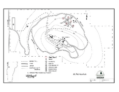
Mt. Philo State Park Campground Map
Campground map for Mt. Philo State Park in Vermont
187 miles away
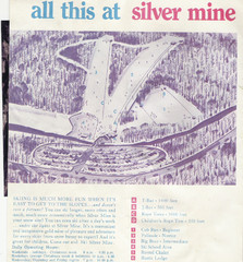
Silver Mine Credit to chris lundquist Ski Trail...
Trail map from Silver Mine, which provides downhill skiing.
187 miles away
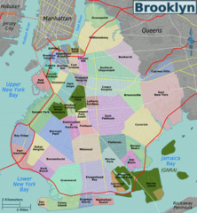
Brooklyn, Neighborhoods Map
187 miles away
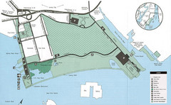
Liberty State Park Map
Map of Liberty State Park, New Jersey on the New York Harbor and next to Ellis Island. Shows...
187 miles away
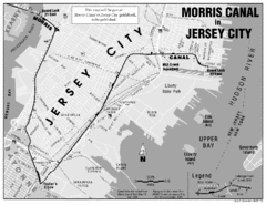
Jersey City Map
187 miles away
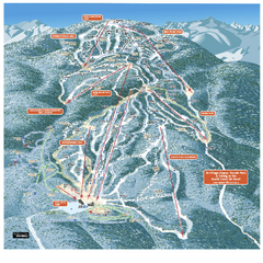
Gore Mountain Ski Trail Map
Trail map from Gore Mountain.
188 miles away
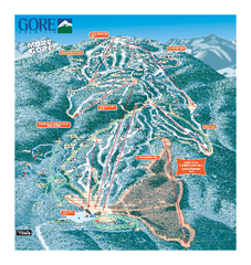
Gore Mountain Ski Trail Map
Trail map from Gore Mountain.
188 miles away
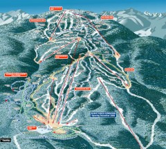
Gore Mountain Ski Trail Map
Official ski trail map of Gore Mountain ski area from the 2007-2008 season.
188 miles away
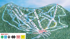
Plattekill Ski Trail Map
Official ski trail map of Plattekill ski area from the 2007-2008 season.
188 miles away
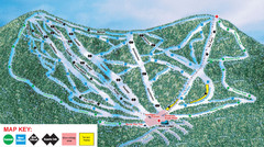
Ski Plattekill Ski Trail Map
Trail map from Ski Plattekill.
188 miles away
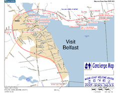
Belfast, Maine, USA Map
Maine Coast Welcome Center's local Map of Belfast, Me with recommended business locations. You...
188 miles away
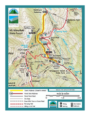
Smugglers Notch Trail Map
Trail map for Smugglers Notch State Park in Vermont
189 miles away
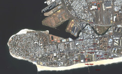
Coney Island Map
Aerial photo Coney Island map
189 miles away
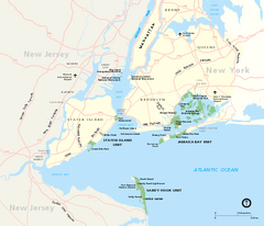
Gateway National Recreation Area Map
Park map of lands in the NPS Gateway National Recreation Area in New York and New Jersey. Shows...
189 miles away
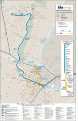
Newark Light Rail system Map
Newark Light rail system
189 miles away
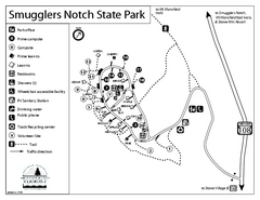
Smugglers Notch State Park Campground Map
Campground map of Smugglers Notch State Park in Vermont
190 miles away
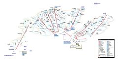
Stowe Mountain Resort Ski Trail Map
Trail map from Stowe Mountain Resort, which provides downhill, nordic, and terrain park skiing. It...
190 miles away
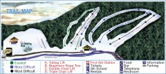
Holiday Mountain Ski Trail Map
Official ski trail map of Holiday Mountain ski area
190 miles away
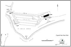
Crystal Lake State Park Map
Trail map of Crystal Lake State Park in Vermont
190 miles away
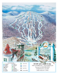
The Balsams—Wilderness Ski Trail Map
Trail map from The Balsams—Wilderness.
190 miles away
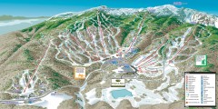
Stowe ski trail map 2006-07
Complete ski trail map of Stowe Mountain resort for 2006-2007 season.
191 miles away
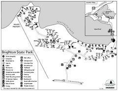
Brighton State Park map
Campground map of Brighton State Park in Vermont
191 miles away
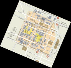
Rutgers University Map
191 miles away
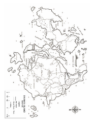
Swan's Island, ME Map
191 miles away
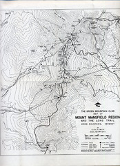
Mount Mansfield Map
Long Trail map for Green Mountains in Vermont
191 miles away
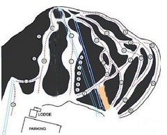
Royal Mountain Ski Trail Map
Trail map from Royal Mountain.
191 miles away
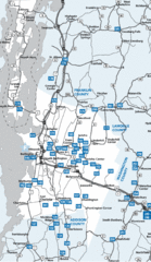
Chittenden County Map
191 miles away

