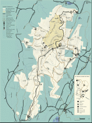
Mt. Greylock State Reservation map
Official summer map of the Mount Greylock State Reservation. At 3,491 feet, Mount Greylock is the...
118 miles away
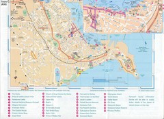
Falmouth Map
Map of Falmouth town and bay. Includes roads, parks, accommodations and attractions.
118 miles away
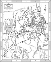
Middlebury, Connecticut Map
118 miles away
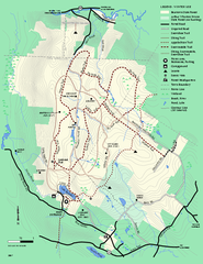
Beartown State Park Winter Map
Winter use map of Beartown State Park in Massachusetts
118 miles away
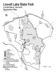
Lowell Lake State Park map
Campground map for Lowell Lake State Park in Vermont
118 miles away
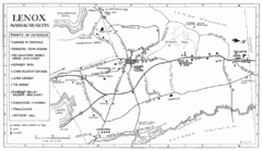
Lenox Town Map
Hand-drawn town map of Lenox, Mass. Bordered by Lenox Mountain and October Mountain. Shows points...
118 miles away
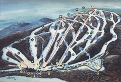
Brodie Ski Trail Map
Trail map from Brodie.
118 miles away
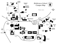
Holderness School Campus Map
A Campus Map of the Holderness School
119 miles away
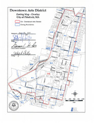
Pittsfield,, Massachusetts City Map
119 miles away
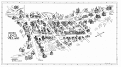
Lenox Village Map
Hand-drawn village map of historic center of Lenox, Massachusetts
119 miles away
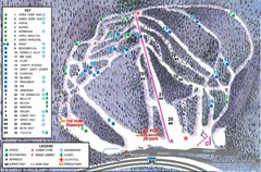
Whaleback Ski Trail Map
A Trail Map of Whaleback Ski Area
119 miles away
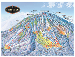
Stratton Mountain ski area trail map 2006-07
Official ski trail map of Stratton Mountain ski area from the 2006-2007 season.
119 miles away
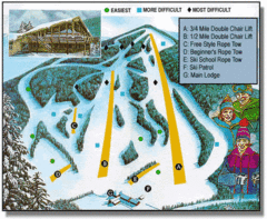
Bousquet Ski Area Ski Trail Map
Trail map from Bousquet Ski Area.
119 miles away
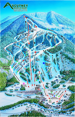
Ascutney Mountain Ski Trail Map 2006-07
Official ski trail map of Ascutney ski area from the 2006-2007 season.
119 miles away
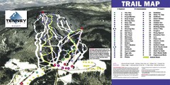
Tenney Mountain Ski Trail Map
Trail map from Tenney Mountain.
119 miles away
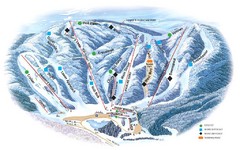
Butternut Ski Area Ski Trail Map
Trail map from Butternut Ski Area.
120 miles away
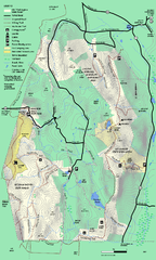
Mt. Washington State Forest trail map
Trail map of Mt. Washington State Forest
120 miles away
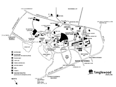
Tanglewood Map
Detailed map of the Tanglewood grounds that includes the location of the Box Office, Friends Office...
120 miles away
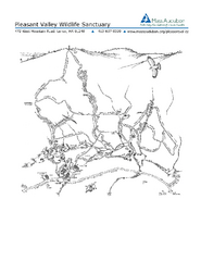
Pleasant Valley Wildlife Sanctuary Trail Map
Trail map of Pleasant Valley Wildlife Sanctuary
120 miles away
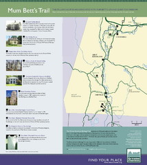
Mum Bett's Trail Map
Historic African American trail guide
120 miles away

South Mohawk Mountain State Forest (Winter Trails...
Winter trial map for the Southern Section of Mohawk Mountain State Forest in Connecticut.
120 miles away
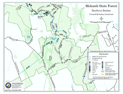
South Mohawk Mountain State Forest (Summer Trails...
Summer trails for South Mohawk State Forest in Connecticut.
120 miles away

North Mohawk Mountain State Forest (Winter Trails...
Winter trail map for North Mohawk Mountain State Forest in Connecticut.
121 miles away

North Mohawk Mountain State Forest (Summer Trails...
Summer trail map of the North section of Mohawk Mountain State Forest in Connecticut.
121 miles away
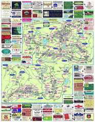
South County Berkshires map
Tourist map of Great Barrington, Housatonic, Sheffield, S. Egremont, N. Egremont Lenox, Stockbridge...
121 miles away
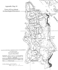
Frye Island Archaeological Map
121 miles away
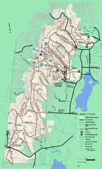
Pittsfield State Forest winter trail map
Winter use trail map of Pittsfield State Forest in Massachusetts.
121 miles away
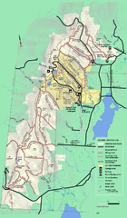
Pittsfield State Forest summer trail map
Summer use trail map of Pittsfield State Forest in Massachusetts.
121 miles away
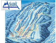
Mohawk Mountain Ski Trail Map
Ski trail map of Mohawk Mountain ski area
121 miles away
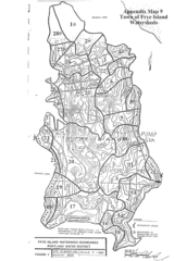
Frye Island Watershed Boundary Map
121 miles away
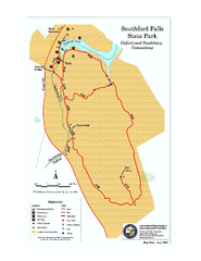
Southford Falls State Park map
Trail map for Southford Falls State Park in Connecticut.
121 miles away
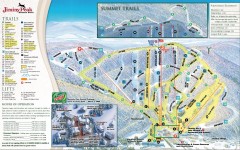
Jiminy Peak Ski Trail Map
Official ski trail map of Jiminy Peak ski area from the 2007-2008 season.
121 miles away
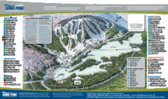
King Pine Ski Area Ski Trail Map
Trail map from King Pine Ski Area.
121 miles away
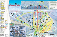
Jiminy Peak Resort Ski Trail Map
Trail map from Jiminy Peak Resort.
121 miles away
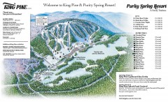
King Pine Ski trail Map
Official ski trail map of King Pine ski area from the 2006-2007 season.
121 miles away
Appalachian National Scenic Trail Map
Scenic trail Maine to Georgia
121 miles away
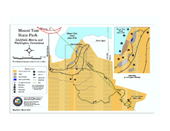
Mount Tom State Park trail map
Trail map of Mt. Tom State Park in Connecticut.
122 miles away
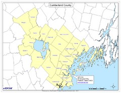
Cumberland County Map
Map showing all city divisions of Cumberland County, Maryland with specific location of the CPCOG.
122 miles away
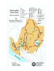
Osbornedale State Park map
Trail map of Osborndale State Park in Connecticut.
122 miles away
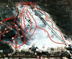
Woodbury Ski Area Ski Trail Map
Trail map from Woodbury Ski Area, which provides downhill, night, nordic, and terrain park skiing...
122 miles away

