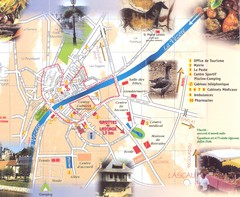
Montignac sur Vesere Map
247 miles away
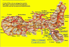
Elba topographic Map
247 miles away
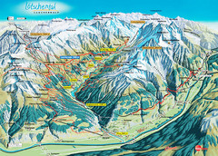
Lötschental Lauchernalp Summer Trail Map
Summer trail map of Lötschental Valley area. Shows hiking trails, towns, and mountains. The...
247 miles away
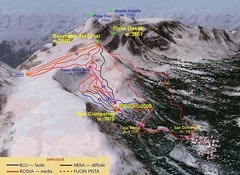
Alpe Ciamporino Ski Trail Map
Trail map from Alpe Ciamporino, which provides downhill skiing. It has 6 lifts. This ski area has...
248 miles away
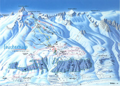
Lötschental (Wiler) Ski Trail Map
Trail map from Lötschental (Wiler), which provides downhill skiing.
251 miles away
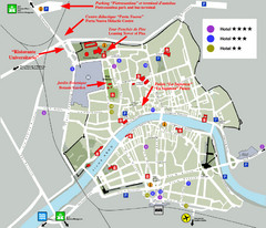
Pisa Map
City map of Pisa, the famed city of the Leaning Tower of Pisa with beautiful views and recreational...
251 miles away
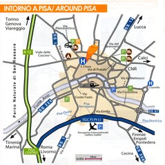
Pisa Around Map
251 miles away
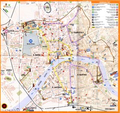
Pisa Map
251 miles away
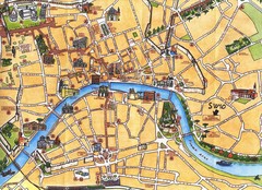
Pisa Tourist Map
Tourist map of Pisa, Italy. Shows major buildings.
251 miles away
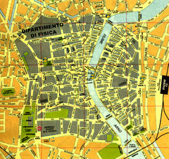
Pisa Town Map
Map of Pisa town centre and University of Pisa
251 miles away
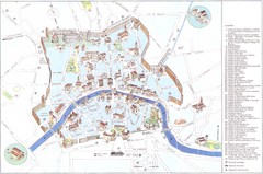
Pisa major monuments Map
251 miles away
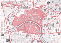
Pisa Map
251 miles away
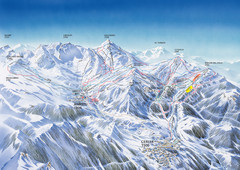
Benasque-Cerler Region Ski Trail Map
Ski trail map of the Benasque-Cerler region in the Pyrenees. Shows lift systems and trails from...
252 miles away
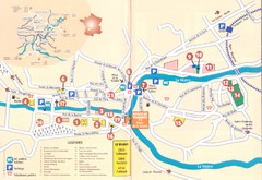
Le Bugue Map
252 miles away
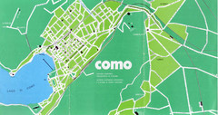
Como City Map
City map and historical sites of Como, Italy.
253 miles away
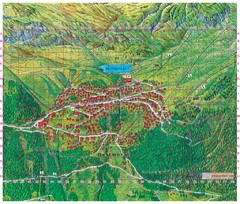
Bettmeralp Summer Map
Summer tourist map of town of Bettmeralp, Switzerland. With reference grid.
253 miles away
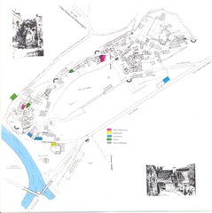
Limeuil Map
253 miles away
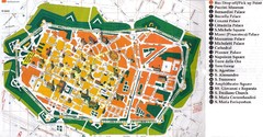
Lucca Italy Tourist Map
257 miles away
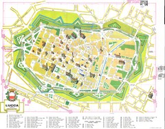
Lucca Map
258 miles away

Lucca Map
258 miles away
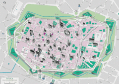
Lucca Tourist Map
Tourist map of walled town of Lucca, Italy. Shows major buildings.
258 miles away
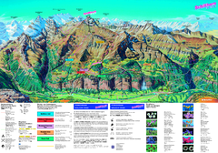
Schilthorn Summer Trail Map
Summer hiking map of Mürren-Schilthorn area. Shows lifts and trails.
258 miles away
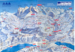
Jungfrau Map
259 miles away
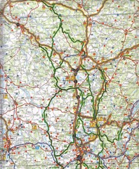
Central France Tourist Map
260 miles away
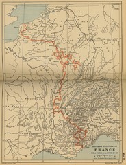
Wars of France and the Empire - 1521-1529...
260 miles away
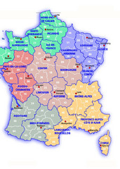
France Map
260 miles away
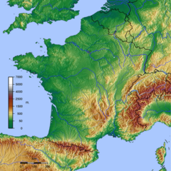
GMT France Map
Map of France made with GMT and and GTOPO30.
260 miles away
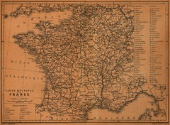
France Road Map, 1914
Road Map of France, 1914. From "Southern France Including Corsica; Handbook for Travellers...
260 miles away
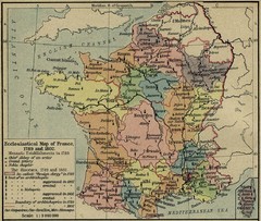
France Ecclesiastical Map 1789-1802
Shows monastic establishments in 1789 and dioceses/archbishoprics 1789 and 1802. From The...
260 miles away
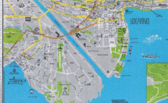
Ascona City Tourist Map
Landmarks in Ascona, Switzerland
261 miles away

Cremona Map
262 miles away
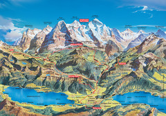
Jungfrau Grindelwald region summer map
This map is a summer panorama looking south from Interlaken toward the Jungfrau, Eiger, and the...
263 miles away

Beaune index for gen & hist maps Map
263 miles away
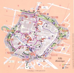
Beaune ville historique Map
263 miles away

Beaune plan general Map
263 miles away

Beaune centre Map
263 miles away
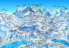
Jungfrauregion (Mürren, Wengen, Grindelwald) Ski...
Trail map from Jungfrauregion (Mürren, Wengen, Grindelwald), which provides downhill skiing.
264 miles away
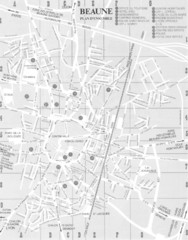
Beaune environs Map
264 miles away

