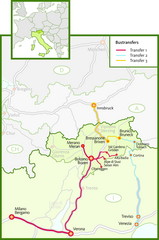
Northern Italy Bustransfer Map
374 miles away
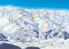
Solden Ski Trail Map
Ski trail map of the Solden ski area in the Tyrol region of Austria.
375 miles away

Solar Radiation Map of Italy
Solar Radiation Map Based on high resolution Solar Radiation Database: SolarGIS. On the Solar Map...
375 miles away
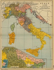
1490 Italy Historical Map
375 miles away
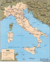
Italy Road Map
Main Highways map of Italy with cities and railroads identified.
375 miles away
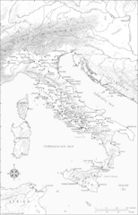
Roman Italy Map
This map depicts many of the principal sites and features of Roman Italy. It contains elevation...
375 miles away
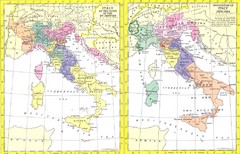
Italy Historic Political Map 15th Century and...
Side-by-side political maps showing Italy at the close of the 15th century and the unification of...
375 miles away
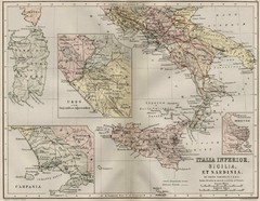
Italy and Sicily Ancient Map
Map of ancient Italy, Sicily, and Sardinia. Year unknown.
375 miles away
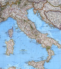
Italy Political Map
Political map of Italy. Scanned.
375 miles away
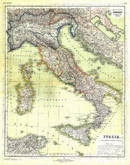
Italy Map 1898
Overview map of Italy from 1898. Shows regions.
375 miles away
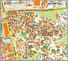
Pomezia Tourist Map
Tourist map of center of Pomezia, Italy. Shows points of interest with symbols (hard to read).
376 miles away
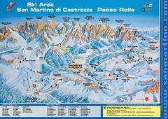
San Martino di Cartozza Ski Trail Map
Ski trail map of San Martino di Cartozza, Italy
377 miles away
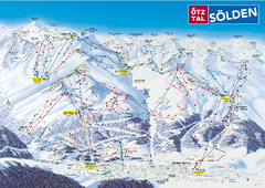
Otztal Ski Trail Map
Trail map from Otztal.
377 miles away
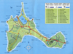
Formentera Guide Map
377 miles away

Pesaro Map
377 miles away
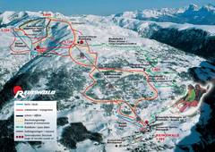
Reinswald Ski Trail Map
Trail map from Reinswald, which provides downhill skiing. It has 4 lifts. This ski area has its own...
378 miles away
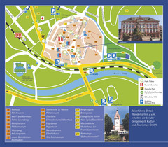
Gengenbach Tourist Map
Tourist map of Gengenbach
378 miles away
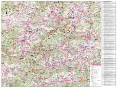
Val di Fassa Hiking Map
Hiking trail map of the Val di Fassa, Italy region. Highly detailed.
378 miles away
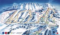
Oberjoch-Unterjoch Ski Trail Map
Trail map from Oberjoch.
379 miles away

Mondavio Map
379 miles away

Marche cycling map
380 miles away
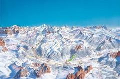
Canazei Campitello Ski Trail Map
Ski trail map of Canazei-Campitello area in the Italian Dolomites.
380 miles away
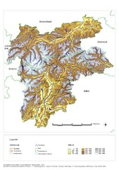
South Tyrol Elevation Map
Physical relief map of the South Tyrol region in present-day borders of Italy and Austria.
380 miles away
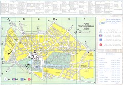
Fontainebleau Avon Map
381 miles away
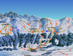
Ratschings / Racines Ski Trail Map
Trail map from Ratschings / Racines.
381 miles away

La Rochelle - overall Map
381 miles away

La Rochelle Map
382 miles away
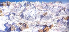
Campitello di Fassa Ski Map
382 miles away
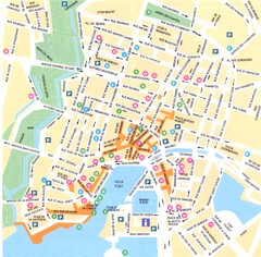
La Rochelle - centre Map
382 miles away
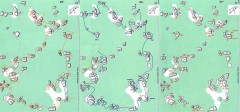
Bois-Rond Bouldering Circuit Map
From summitpost.org: "Bois-Rond is a bouldering area located in the Southern part of the...
382 miles away
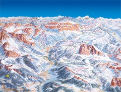
Val Gardena Ski Trail Map
Trail map from Val Gardena.
382 miles away
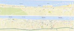
Fano beach suburbs Map
382 miles away
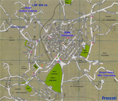
Frascati Tourist Map
382 miles away
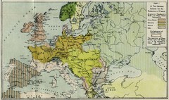
Extinction of France Map 1918
Shows pan-German scheme for the Extinction of France, 1918. As given in "Frankreich's...
383 miles away
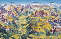
Val Gardena Summer Trail Map
Summer panoramic trail map of the Val Gardena, Italy area in the heart of the Dolomite Mountains...
384 miles away
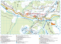
Santa Cristina Tourist Map
Tourist map of town of Santa Cristina Val Gardena, Italy. Santa Cristina lies on the sunny side of...
384 miles away
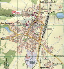
Aulendorf Map
Street map of city of Aulendorf
384 miles away
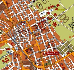
Bad Saulgau Tourist Map
Tourist street map of Bad Saulgau town center
384 miles away
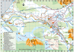
Selva Gardena Tourist Map
Tourist map of Selva Gardena, Italy, a popular skiing and hiking destination in the Italian Alps.
385 miles away
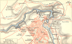
Tivoli Map
385 miles away

