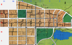
Islamabad City Map
City map of Islamabad, Pakistan
976 miles away

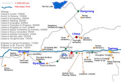
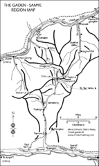
Lhokha Guide Map
982 miles away
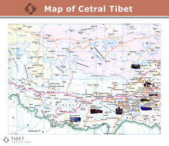
Central Tibet Map
985 miles away

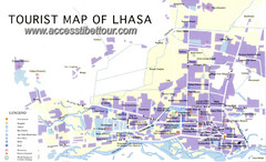
Lhasa Tibet Tourist Map
Map of Lhasa, Tibet showing schools, hotels, places of interest and roads.
985 miles away
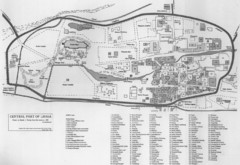
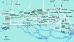
Lhasa Center Map
Map of central Lhasa from 1959. Drawn from the memory of Zasak J. Taring.
985 miles away
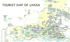
Lhasa Tourist Map
Places of interest. Government buildings.
986 miles away

Tibet Province Map
986 miles away

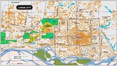
Lhasa City, Tibet Map
986 miles away
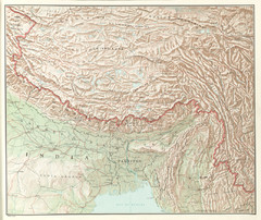
Tibet Region Physical Map
Physical map of Tibet region from the Communist China Map Folio, published by the US C.I.A. in 1967...
986 miles away

Lhasa Tourist Map
Shows major points of interest in city of Lhasa, Tibet.
986 miles away
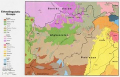
AFG afghanistan & environs ethnolinguistic...
993 miles away
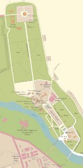
Kataragama Sacred City Map
City map of sacred sites of Kataragama, Sri Lanka
993 miles away
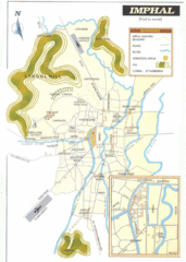
Imphal India Tourist Map
Tourist Map of Imphal City, India showing roads, tourist attractions and the airport.
998 miles away
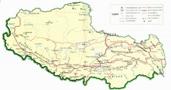
Tibet Map
Map of Tibet showing roads, towns, rivers, railways and mountains.
998 miles away
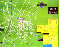
Quetta City Map
City map of Quetta, Pakistan. Shows major streets.
999 miles away
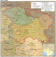
Kashmir Region Map
1000 miles away
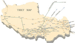
Tibet Transportation Map
Major train routes in Tibet.
1011 miles away
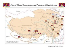
Tibet Protests Map
Shows site of Tibetan demonstrations and protests as of March 17, 2008
1017 miles away

Tibet Manuscript Map
Tourist manuscript map of Tibet. Shows Tibet Autonomous Region.
1017 miles away
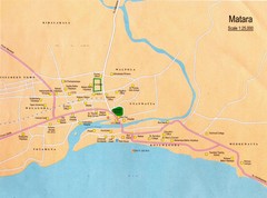
Matara City Map
City map of Matara, Sri lanka.
1018 miles away
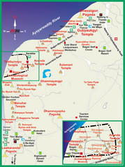
Pagan Tourist Map
1028 miles away

Afg Topographic Map
1029 miles away
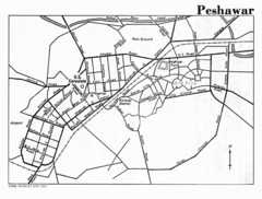
Peshawar Map
Guide to Peshawar, Pakistan
1033 miles away
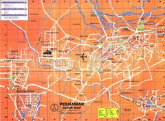
Peshawar City Map
City map of Peshawar, Pakistan. Scanned.
1033 miles away
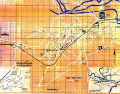
Peshawar City Map
City map of Peshawar, Pakistan
1033 miles away
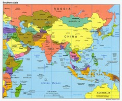
Southern Asia Map
Map of Southern Asia region
1033 miles away
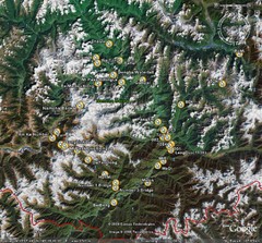
Metok Satellite Map
1045 miles away
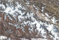
Karakoram Range Map
Shows major peaks and glaciers in the Karakoram mountain range in Pakistan and China. 2nd highest...
1057 miles away
![AFG Afghanistan_pop72[1] Map AFG Afghanistan_pop72[1] Map](/maps/AFG-Afghanistanpop721-Map.thumb.jpg)
AFG Afghanistan_pop72[1] Map
1060 miles away
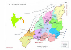
Nagaland Tourist Map
Tourist map of state of Nagaland, India. Shows tourist destinations and roads.
1071 miles away
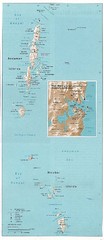
Andaman and Nicobar islands of India Map
Andaman & Nicobar islands, India Map showing citiies, roads, elevations, ports and airports.
1083 miles away

