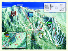
Sierra-at-Tahoe Ski Trail Map
Trail map from Sierra-at-Tahoe, which provides downhill and terrain park skiing. It has 12 lifts...
137 miles away
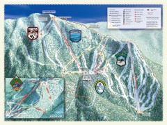
Sierra-at-Tahoe Ski Trail Map
Official ski trail map of Sierra-at-Tahoe ski area from the 2007-2008 season.
137 miles away
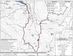
Tahoe Rim Trail: Big Meadow to Echo Lake Map
Topographic hiking map of the Big Meadow-Echo Lake leg of the Tahoe Rim Trail. Bike and pedestrian...
137 miles away
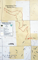
Grizzly Peak Trail Map
Topographic trail map of Grizzly Peak near Ashland, Oregon. Shows trails and distances. From...
138 miles away
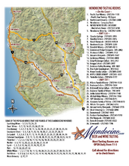
Mendocino Beer and Wine Tasting Map
Beer and wine tasting map of Mendocino county, California. Show breweries and wineries on the...
138 miles away

Greater Lake Berryessa Region Tourist Map
Tourist map of the Lake Berryessa region in Napa, California
139 miles away
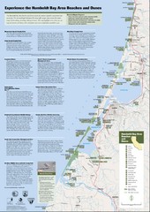
Humboldt Bay Area Beaches and Dunes Map
Humboldt Bay Beaches & Dunes Map & Guide
141 miles away

Redwood National Park Map
141 miles away
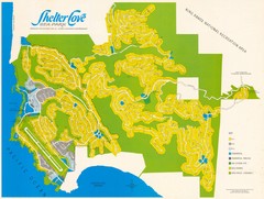
Shelter Cove Map
Shelter Cove Subdivision Map. Shows all streets, houses, commercial buildings, gas stations, and...
142 miles away
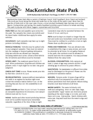
MacKerricher State Park Campground Map
Map of campground region of park with detail of trails and recreation zones
143 miles away
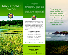
MacKerricher State Park Map
Map of park with detail of trails and recreation zones
143 miles away
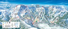
Kirkwood Ski Trail map 2006-07
Official ski trail map of Kirkwood ski area for the 2006-2007 season.
144 miles away
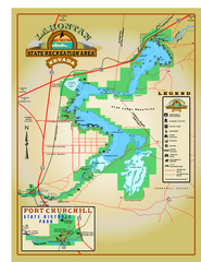
Lahontan State Recreation Area Map
Overview map of Lahontan State Recreation Area. Shows Lahontan Reservoir formed by Lahontan Dam...
144 miles away
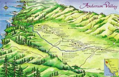
Anderson Valley Wine Map
Shows wineries/vineyards in Anderson Valley, California along Route 128 from Navarro, California to...
144 miles away
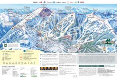
Kirkwood Ski Trail Map
Trail map from Kirkwood, which provides downhill, nordic, and terrain park skiing. It has 14 lifts...
144 miles away
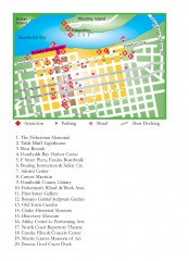
Old Town, Eureka, California Map
Tourist map of the Old Town area of Eureka, California. Shows various attractions including murals...
145 miles away
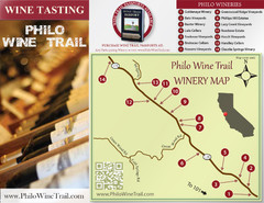
Philo Wine Map
Shows wineries great for wine tasting in the Anderson Valley along Route 128 in Philo California.
145 miles away
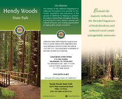
Hendy Woods State Park Map
Map of park with detail of trails and recreation zones
145 miles away
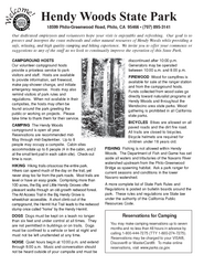
Hendy Woods State Park Campground Map
Map of campground region park with detail of trails and recreation zones
145 miles away
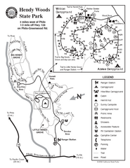
Hendy Woods State Park Map
Park map of Hendy Woods State Park in Philo, California. Shows trails, campgrounds, and other...
145 miles away
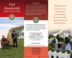
Fort Humboldt State Historic Park Map
Map of park with detail of trails and recreation zones
146 miles away
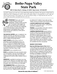
Bothe-Napa Valley State Park Map
Map of park with detail of of trails and recreation zones
146 miles away
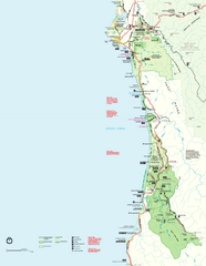
Redwood National Park Map
Official NPS map of Redwood National Park, California. Also shows Jedediah Smith Redwoods State...
146 miles away
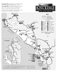
King Range National Conservation Area Trail Map
Trail map of the King Range National Conservation Area, home of the Lost Coast, California. Shows...
147 miles away
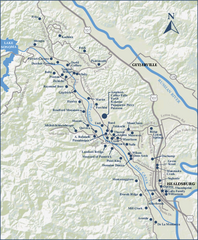
Dry Creek Valley Wineries, California Map
Map of wineries in Dry Creek Valley, California. Shows wineries and roads.
147 miles away
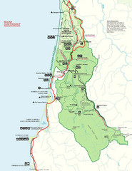
Prairie Crek State Park Map
147 miles away
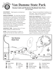
Russian Gulch State Park Campground Map
Map of campground region of park with detail of trails and recreation zones
147 miles away

Bear Creek Greenway Map
Trail map of the Bear Creek Greenway connecting Central Point to Ashland, Oregon. Will eventually...
148 miles away
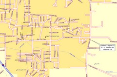
Medford, Oregon City Map
148 miles away
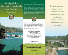
Mendocino Headlands State Parks Map
Map of parks with detail of trails and recreation zones
148 miles away
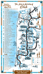
Orick Redwood National Park Map
148 miles away
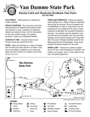
Van Damme State Park Campground Map
Map of campground region of park with detail of trails and recreation zones
148 miles away
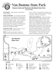
Van Damme State Park Campground Map
Map of campground region of park with detail of trails and recreation zones
148 miles away
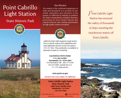
Point Cabrillo Light Station State Historic Park...
Map of park with detail of trails and recreation zones
148 miles away
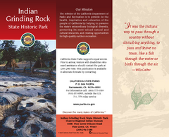
Indian Grinding Rock State Historic Park Map
Map of park with detail of trails and recreation zones
149 miles away
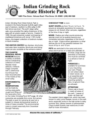
Indian Grinding Rock State Historic Park...
Map of campground region of park with detail of trails and recreation zones
149 miles away

Van Damme State Park Map
Park map of Van Damme State Park near Mendocino, California. Show Fern Valley Trail through...
149 miles away
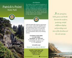
Patrick's Point State Park Map
Map of park with detail of trails and recreation zones
149 miles away
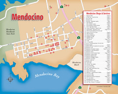
Mendocino Tourist Map
Tourist map of town of Mendocino, California. Shows shops and services.
149 miles away
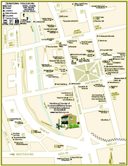
Downtown Healdsburg, California Map
Tourist maps of downtown Healdsburg, California. First map shows restaurants, galleries, wine...
149 miles away

