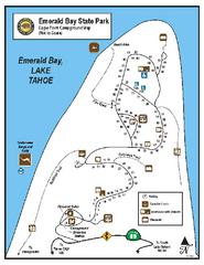
Emerald Bay State Park Campground Map
Map of park with detail of trails and recreation zones
128 miles away
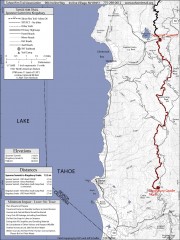
Tahoe Rim Trail: Spooner Summit to Kingsbury...
Topographic hiking map of the Spooner Summit-Kingsbury North leg of the Tahoe Rim Trail. Bike and...
128 miles away
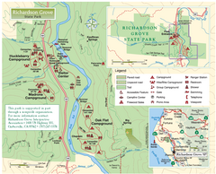
Richardson Grove State Park Map
Park map of Richardson Grove State Park, California. Shows trails, campgrounds, and other...
128 miles away
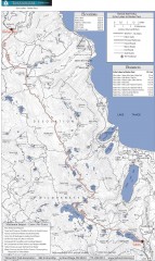
Tahoe Rim Trail: Echo Lake to Barker Pass Map
Topographic hiking map of the Echo Lake-Barker Pass leg of the Tahoe Rim Trail. Shows pedestrian...
129 miles away

Carson River Aquatic Trail Map
129 miles away
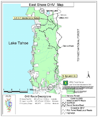
East Shore Lake Tahoe Off-highway Vehicle Map
Off-highway vehicle map of the East Shore of Lake Tahoe, California. Shows roads open to...
129 miles away
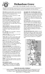
Richardson Grove State Park Campground Map
Map of campground region of park with detail of trails and recreation zones
129 miles away
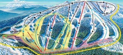
Mt. Ashland Ski Trail Map
Ski trail map of Mt. Ashland ski area near Ashland, Oregon
129 miles away
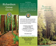
Richardson Grove State Park Map
Map of park with detail of trails and recreation zones
129 miles away
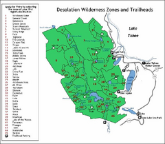
Desolation Wilderness, Lake Tahoe, California Map
Map of Desolation Wilderness, southwest of Lake Tahoe, California. Shows pack-in camping zones...
129 miles away
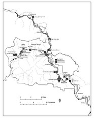
Humboldt Redwoods State Park Map
Park map of Humboldt Redwoods State Park, California. Shows Avenue of the Giants, trailheads and...
131 miles away

Lakeview Oregon Road Map
131 miles away
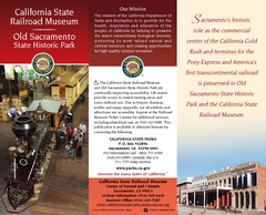
California Railroad Museum Map
Map of historic museum
131 miles away
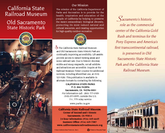
Old Sacramento State Historic Park Map
Map of park and museum with detail of trails and recreation zones
131 miles away
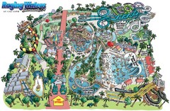
Raging Waters Sacramento Map
Fun and amusing water park for the whole family!
131 miles away
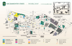
California State University at Sacramento Map
California State University at Sacramento Campus Map. All buildings shown.
132 miles away
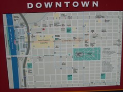
Downtown Sacramento City Map
City map of downtown Sacramento, California. From 2007 photo.
132 miles away
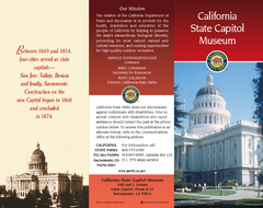
California State Capitol Museum Map
Map of museum and park
132 miles away

Downtown Sacramento, California Map
Tourist map of Downtown Sacramento, California. Museums, lodging, shopping and other attractions...
132 miles away
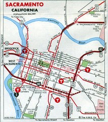
Sacramento, California City Map
132 miles away
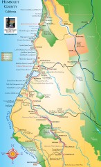
Humboldt County, California Map
Tourist map of Humboldt County, California. Shows parks, wildlife refuges, visitor centers, and...
132 miles away
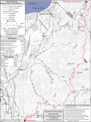
Tahoe Rim Trail: Kingsbury South to Big Meadows...
Topographic hiking map of the Kingsbury South-Big Meadows leg of the Tahoe Rim Trail. Shows...
133 miles away
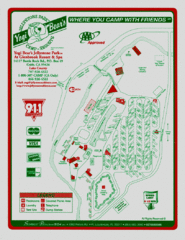
Jellystone Park at Glebrook Resort & Spa Map
133 miles away
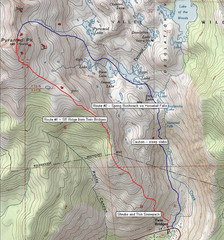
Pyramid Peak Ski Route Map
Backcountry ski route map of Pyramid Peak 9983 ft in the Desolation Wilderness near Lake Tahoe...
134 miles away
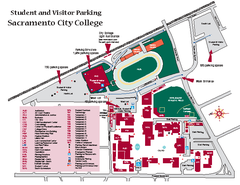
Sacramento City College Campus Map
Sacramento City Campus Map. All buildings shown.
134 miles away
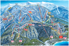
Heavenly Valley Ski Trail Map
Official ski trail map of Heavenly Valley ski area from the 2007-2008 season.
134 miles away
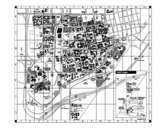
University of California at Davis Map
Campus Map of the University of California at Davis. All buildings shown.
134 miles away
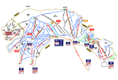
Heavenly Ski Resort Ski Trail Map
Trail map from Heavenly Ski Resort, which provides downhill, nordic, and terrain park skiing. It...
134 miles away
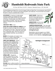
Humboldt Redwoods State Park Campground Map
Map of campground region park with detail of trails and recreation zones
135 miles away
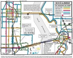
Davis, California BIke Map
135 miles away
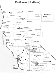
Northern California Airports Map
135 miles away
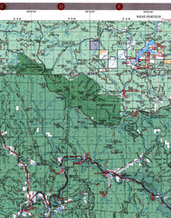
Klamath National Forest Map
Visitor Map of Klamath, western part of the park. Includes all roads, lakes, rivers and camping...
135 miles away
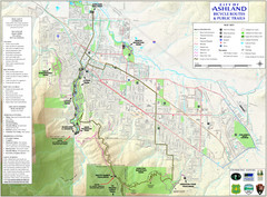
Ashland Trails Map
Trail map of Ashland, Oregon. Shows bicycle routes and public parks and trails.
135 miles away
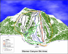
Warner Canyon Ski Trail Map
Trail map from Warner Canyon, which provides downhill skiing.
135 miles away
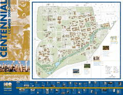
University of California Davis Campus Map
Campus map of UC Davis in Davis, California. Shows all buildings.
135 miles away
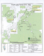
South Lake Tahoe Off-Highway Vehicle Map
Off-Highway Vehicle Map of South Lake Tahoe, California. Shows roads open to motorcycles, ATVs, and...
136 miles away
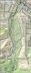
Lithia Park Trail Map
Trail map of Lithia Park in town of Ashland, Oregon. Adjacent to the Oregon Shakespeare Festival.
136 miles away

Lake Berryessa Map
Lake Berryessa Recreational Map, Napa County, California
136 miles away

Lake Berryessa Recreation Map
Lake Berryessa Recreational Map, Napa County, California
136 miles away

